 Block
Milmine, Illinois
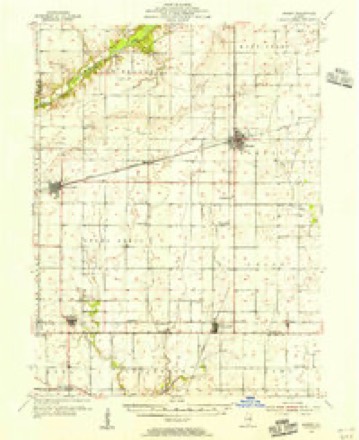
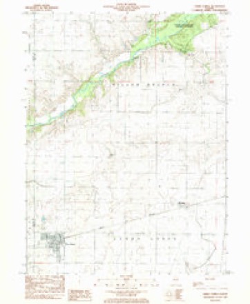
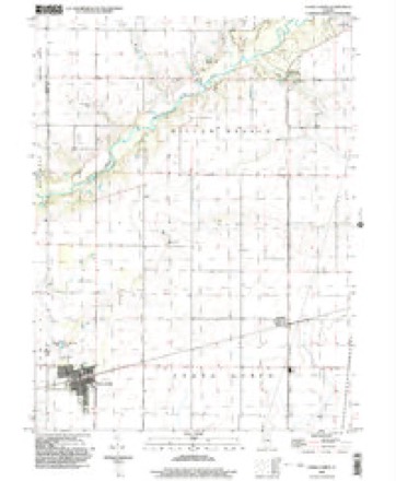
11 topographic sheets cover this place, the earliest surveyed in 1955 and the latest in 1999. It stands in Cerro Gordo Township. It lies in ZIP code area 61855. The Survey maps it on the Cerro Gordo quadrangle. It stands 712 feet above sea level.
Topographic sheets covering this place
6 surveys from 11 printed sheetsMatched by testing this settlement's coordinate against the published boundary of every sheet in the United States Geological Survey's historical collection. Each opens the scanned sheet at the Survey.
- 1955 USGS Bement quadrangle1:62500, 2 printings
- 1958 USGS Decatur quadrangle1:250000, 3 printings
- 1961 USGS Decatur quadrangle1:250000, 2 printings
- 1983 USGS Cerro Gordo quadrangle1:24000
- 1985 USGS Decatur quadrangle1:100000, 2 printings
- 1999 USGS Cerro Gordo quadrangle1:24000



In the county-history sources
8,856 words on this townshipHistory of Piatt County; Together with a Brief History of Illinois from the Discovery of the Upper Mississippi to the Present Time, published 1883 names this settlement in its chapter on Cerro Gordo Township. These are the passages that mention it, exactly as the scans read.
Cerro Gordo township has two railroads and four stations. The Wabash railroad enters the township at the northeastern corner, extends southwest, leaving the township about two miles south of the northwest corner. Milmine and Cerro Gordo are situated on this road, while Lintner and La Place are on the road formerly known as the Indianapolis, Decatur & Springfield, and which passes from east to west about one-half a mile from the southern boundary line.
Passage source: History of Piatt County; Together with a Brief History of Illinois from the Discovery of the Upper Mississippi to the Present Time, published 1883.
There are three churches or congregations of this sect in Piatt county. The first was organized in 1856 or 1857, in Macon county, and was known as the Cerro Gordo church. Mr. and Mrs. David Kuns were the first members of this church, next Mr. Kims' brother, and gradually the congregation grew to a good-sized church. In 1865 or 1866 the church was divided and three congregations were organized. Each congregation has its own quarterly councils for the settlement of business. The southern district of Illinois has started an Orphan's Home, which is located in Macon county, near Cerro Gordo. There are eighty acres of well improved land, and a good house and barn belonging to the Home. This Orphan's Home is in the Cerro Gordo congregation, as is also the first church building which was erected in Macon county. The organization was started through the influence o f Mr. David Kuns, Mr. Metzger and Mr. Replogle. The church building in Cerro Gordo, which cost near $2,000, was built about 1878, and was donated, with the ground it stands on, by Mr. Metzger. This was certainly a great gift, and the congregation should feel very grateful for it. There are near 250 members in the Cerro Gordo congregation. The names of the deacons, as given to us by Mr. J. P. Replogle, are Stephen Shively, J. P. Replogle, Solomon Hufferd, John Hickrnan, John Blickenstaff and David Blickenstaff. The names of the ministers are John Metzger, David Troxel, A. F. Snider, Amos Nickey, Adam Bingeman and V. B. Clifton. The membership of the Milmine congregation is about seventy-five or eighty, and the Sunday school, which has been in existence about four years, has an attendance of from forty-five to fifty members. The ministers of this congregation are D. B. Gibson, Menno Stauffer, Henry Kuns and Daniel Mohler ; and the deacons are Ben]'. Bowman, David Kuns and John S. Kuns. The congregation has but one building, but meetings are held both in Milmine and in the country, where Henry Kuns donated one and a halt acres of land, upon which the church, which cost $2,600, is located.
Passage source: History of Piatt County; Together with a Brief History of Illinois from the Discovery of the Upper Mississippi to the Present Time, published 1883.
The Okaw congregation has a membership of about 200, and a large church building was erected about 1875. Mr. Peter Fouts is of the opinion that Jacob Wagoner was the first German Baptist minister who preached in this church, and that Robert Miller dedicated the same. The building is 40x60 feet and cost near $3,500, which amount was raised by subscription. The following are the names of the ministers as given to us by Mr. Replogle : Jacob Wagoner, Jacob Ulrey, Jacob Miller, John Arnold and Philip Siders. The deacons are Geo. Funk, Elijah Hendricks, Isaac Ulrey, Solomon Miller, Peter Cripe, Isaac Shively and Charles Dicks. The people belonging to these congregations are some of the best citizens - most peaceful and industrious - that our county affords. The majority of them have good farms, which under their able management yield bountifully. Some of the finest country houses and barns in the county belong to the German Baptists, or Dunkards, as they are wrongly called. We found many of these people hospitable in the extreme, and we are glad to have this opportunity of saying so, and to show to the people of the county some of the work that has been done by them.
Passage source: History of Piatt County; Together with a Brief History of Illinois from the Discovery of the Upper Mississippi to the Present Time, published 1883.
Machine-read from a century-old scan, so expect the errors a machine makes: misspelled names, dropped words, stray characters.
Read the whole chapter on Cerro Gordo Township - it names this place 5 more 5 times.
Fires near this place
2 since 2009Regional context, not property-specific evidence. The federal wildfire occurrence database lists 2 fires within 5 miles of Milmine in 2009, burning about 30 acres in total. None started naturally. None was recorded as arson. Distance is straight-line from the map coordinates, so a fire counted here may appear on a neighbouring settlement's page as well.
| Reported cause | Fires |
|---|---|
| Missing data/not specified/undetermined | 2 |
The most recent of them, most recent first, with the day each was reported and the service that recorded it.
| Date | Cause | Size | Reported by | Name on the report |
|---|---|---|---|---|
| 6 February 2009 | Missing data/not specified/undetermined | 30 acres | Illinois Division of Forestry Resources | LOOS |
| 17 January 2009 | Missing data/not specified/undetermined | under an acre | Illinois Division of Forestry Resources | DEMMINK |
Settlements close enough to share some of these fires:
Storms near this place
3 since 1996Regional context, not property-specific evidence. The National Weather Service names Milmine in 3 storm reports between 1996 and 2015: 2 thunderstorm wind, 1 tornado. No death or injury is recorded in these reports. Each account below is quoted exactly as the forecast office filed it, from the NOAA Storm Events Database, and each date opens the federal record of that event.
| When | Event | Place named | Harm | What the report says |
|---|---|---|---|---|
| April 1996 | Tornado (F1) | Milmine | $500,000 | no account filed |
| December 2015 | Thunderstorm Wind | Milmine | $75,000 | Numerous trees and power lines were blown down and a carport was damaged. |
| May 2013 | Thunderstorm Wind | Milmine | $15,000 | Power lines were blown down in Milmine. |
Nearest settlements
The eight closest, with where each one stands in the county. Distances are straight-line, computed from the Geographic Names Information System coordinates.
| Map | Place | Distance | Sheets |
|---|---|---|---|
| Bodmann | 4.1 miles | 12 | |
| Bement | 4.3 miles | 12 | |
| Cerro Gordo | 4.3 miles | 11 | |
| Voorhies | 4.7 miles | 12 | |
| Piatt | 7.1 miles | 12 | |
| Lintner | 7.5 miles | 11 | |
| Burrowsville | 7.5 miles | 11 | |
| Amenia | 7.9 miles | 14 |
Elsewhere
Matched on this settlement's Geographic Names Information System number rather than its name, so it cannot be a different place of the same name in another state.
| Wikipedia article on Milmine | An encyclopaedic summary. Its text is share-alike, so it is linked here rather than copied. |
| Wikidata item Q6860178 | The structured record the population and elevation above come from. Public domain (CC0). |
Provenance
This settlement is recorded in the Geographic Names Information System as feature 413629. The sheet list is computed by point-in-boundary test against the United States Geological Survey's historical topographic inventory. Both are works of the United States government and carry no copyright under 17 U.S.C. 105.
Wildfire. Short, Karen C. 2022. Spatial wildfire occurrence data for the United States, 1992-2020 [FPA_FOD_20221014]. 6th Edition. Fort Collins, CO: Forest Service Research Data Archive. https://doi.org/10.2737/RDS-2013-0009.6 Collected with United States Government funding and usable without additional permissions or fees.
Storms. NOAA National Centers for Environmental Information, Storm Events Database https://www.ncei.noaa.gov/stormevents/ A work of the United States government, no copyright under 17 U.S.C. 105. Narratives are quoted verbatim from the National Weather Service report and are not edited or summarised.