 Block
Voorhies, Illinois
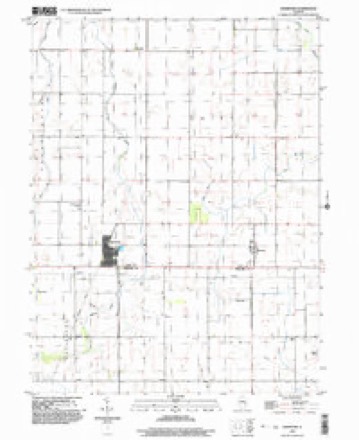
12 topographic sheets cover this place, the earliest surveyed in 1955 and the latest in 1998. It stands in Unity Township. It lies in ZIP code area 61813. The Survey maps it on the Hammond quadrangle. It stands 676 feet above sea level.
On record in Voorhies
Buildings and businesses the archive holds for this place. Each opens its own page, with the source record it came from.
On the National Register within a mile 1 record
The National Register names another town for these. They stand within one mile of this settlement's coordinate.
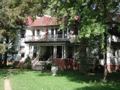 Voorhies Castlelisted 1979 · 0.0 miles away
Topographic sheets covering this place
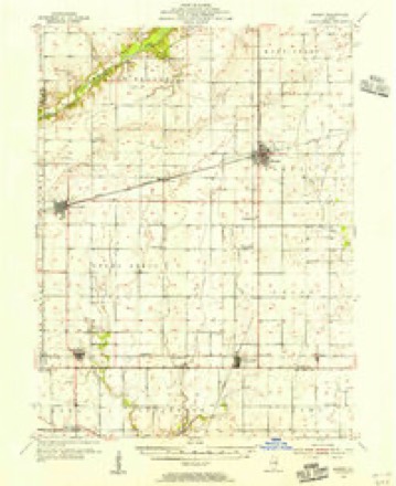
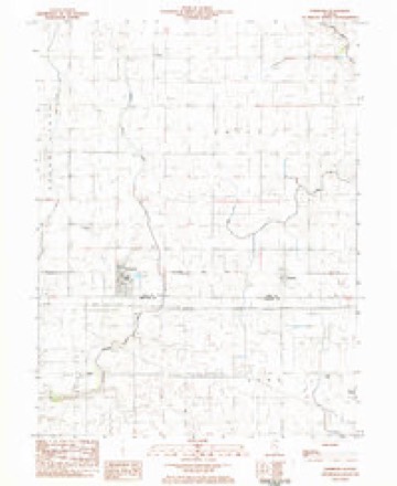
7 surveys from 12 printed sheetsMatched by testing this settlement's coordinate against the published boundary of every sheet in the United States Geological Survey's historical collection. Each opens the scanned sheet at the Survey.
- 1955 USGS Bement quadrangle1:62500, 2 printings
- 1958 USGS Decatur quadrangle1:250000, 3 printings
- 1961 USGS Decatur quadrangle1:250000, 2 printings
- 1975 USGS Bement SE quadrangle1:24000
- 1983 USGS Hammond quadrangle1:24000
- 1985 USGS Decatur quadrangle1:100000, 2 printings
- 1998 USGS Hammond quadrangle1:24000



In the county-history sources
4,025 words on this townshipHistory of Piatt County; Together with a Brief History of Illinois from the Discovery of the Upper Mississippi to the Present Time, published 1883 names this settlement in its chapter on Unity Township. These are the passages that mention it, exactly as the scans read.
Two railroads cross Unity township. What was originally known as the Chicago & Paducah road strikes the northern boundary line about two miles from the northwestern corner of the township, runs south nearly five miles, and then bends a little to the southwest, leaving the township about one mile east of the southwest corner of the township. This road has two stations, Voorhies and Hammond, which is at the intersection of this road witli the Indianapolis, Decatur & Springfield railroad. The Indianapolis, Dacatur & Springfield road, which has lately become a part of the Indianapolis, Bloomington & Wabash system of roads, crosses the southern part of the township from east to west, and just half a mile from the southern township line. There are three stations on this road, Hammond, Pierson and Atwood, the latter lying only partly within the limits of Piatt county.
Passage source: History of Piatt County; Together with a Brief History of Illinois from the Discovery of the Upper Mississippi to the Present Time, published 1883.
Atwood. - Mr. Joseph Moore reports that Mr. Christopher Mossbarger was the first resident where Atwood now is. He owned a horse mill at this place, and did good work in the way of grinding grain for the neighborhood. He and Mr. Geo. Heath once laid off a town, and upon Mr. Moor's laughing and asking why he did so, Mr. Mossbarger solemnly answered, "Why, people come here. Railroads come here." The neighbors, however, thought such was nonsense. After a town was thus laid off, it did go back for a number of years, and trees grew up again. Mr. Andrew Richey bought out the heirs of Mr. Mossbarger, and still lives there.
Passage source: History of Piatt County; Together with a Brief History of Illinois from the Discovery of the Upper Mississippi to the Present Time, published 1883.
Machine-read from a century-old scan, so expect the errors a machine makes: misspelled names, dropped words, stray characters.
Fires near this place
2 since 2009Regional context, not property-specific evidence. The federal wildfire occurrence database lists 2 fires within 5 miles of Voorhies in 2009, burning about 30 acres in total. None started naturally. None was recorded as arson. Distance is straight-line from the map coordinates, so a fire counted here may appear on a neighbouring settlement's page as well.
| Reported cause | Fires |
|---|---|
| Missing data/not specified/undetermined | 2 |
The most recent of them, most recent first, with the day each was reported and the service that recorded it.
| Date | Cause | Size | Reported by | Name on the report |
|---|---|---|---|---|
| 6 February 2009 | Missing data/not specified/undetermined | 30 acres | Illinois Division of Forestry Resources | LOOS |
| 17 January 2009 | Missing data/not specified/undetermined | under an acre | Illinois Division of Forestry Resources | DEMMINK |
Settlements close enough to share some of these fires:
Nearest settlements
The eight closest, with where each one stands in the county. Distances are straight-line, computed from the Geographic Names Information System coordinates.
Elsewhere
Matched on this settlement's Geographic Names Information System number rather than its name, so it cannot be a different place of the same name in another state.
| Wikipedia article on Voorhies | An encyclopaedic summary. Its text is share-alike, so it is linked here rather than copied. |
| Wikidata item Q14688162 | The structured record the population and elevation above come from. Public domain (CC0). |
Provenance
This settlement is recorded in the Geographic Names Information System as feature 420345. The sheet list is computed by point-in-boundary test against the United States Geological Survey's historical topographic inventory. Both are works of the United States government and carry no copyright under 17 U.S.C. 105.
Wildfire. Short, Karen C. 2022. Spatial wildfire occurrence data for the United States, 1992-2020 [FPA_FOD_20221014]. 6th Edition. Fort Collins, CO: Forest Service Research Data Archive. https://doi.org/10.2737/RDS-2013-0009.6 Collected with United States Government funding and usable without additional permissions or fees.