 Block
Morse, Illinois
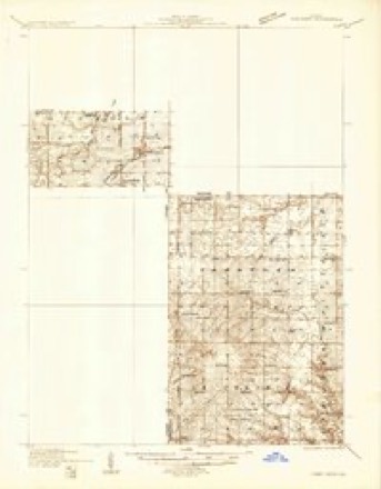
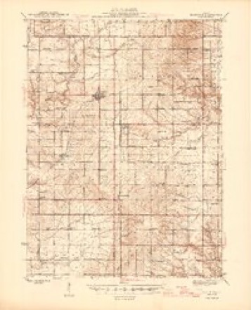
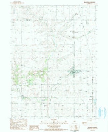
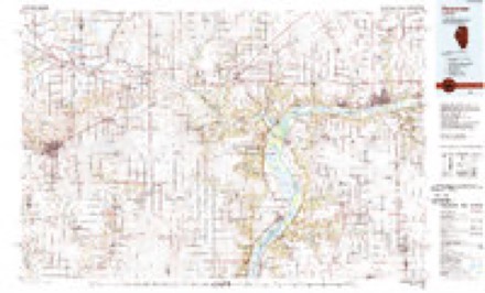
12 topographic sheets cover this place, the earliest surveyed in 1933 and the latest in 1985. It stands in Osceola Township. It lies in ZIP code area 61421. The Survey maps it on the Bradford quadrangle. It stands 755 feet above sea level.
Topographic sheets covering this place
6 surveys from 12 printed sheetsMatched by testing this settlement's coordinate against the published boundary of every sheet in the United States Geological Survey's historical collection. Each opens the scanned sheet at the Survey.
- 1933 USGS Camp Grove quadrangle1:48000
- 1945 USGS Bradford quadrangle1:62500, 3 printings
- 1958 USGS Aurora quadrangle1:250000, 3 printings
- 1961 USGS Aurora quadrangle1:250000
- 1983 USGS Bradford quadrangle1:24000, 2 printings
- 1985 USGS Kewanee quadrangle1:100000, 2 printings


In the county-history sources
12,500 words on this townshipDocuments and Biography Pertaining to the Settlement and Progress of Stark County, Illinois : Containing an Authentic Summary of Records, Documents, Historical Works and Newspapers Relating to Indian History, Original Settlement, Organization and Politics ..., published 1887 names this settlement in its chapter on Osceola Township. These are the passages that mention it, exactly as the scans read.
HIS township, like the village of the same name in Elmira Township, owes its name to the fact that, during tlie Seminole war, a number of persons settled in the neighborhood, who admired the desperate valor of the half-breed chief of that tribe. This war beo-an in 1835 and lasted seven vears, thouoh the last four vears of the struo-o-le did not reflect as much credit on the Indians as the first three, when they were led by the brilliant Osceola. His father was Willis Powell, and his mother a Creek Indian woman. Osceola was born in Georgia, but his mother removed to Florida, where he became the leader of the Seminoles. He opposed their removal, and led them in many desperate encounters, until he was captured and imprisoned at Fort Moultrie, where he died in 1838, a year prior to the organization of this county, and only a few years after the first settlement was made in this townshi]!.
Passage source: Documents and Biography Pertaining to the Settlement and Progress of Stark County, Illinois : Containing an Authentic Summary of Records, Documents, Historical Works and Newspapers Relating to Indian History, Original Settlement, Organization and Politics ..., published 1887.
The I. O. G. T. Lodge, organized at Bradford in 1886, elected the following officers in March of that year : E. S. Root, W. C. T,; Mrs. R. Thompson, Y. T.; J. E. Wasson, chaplain; Miss Annie Foster, secretary ; Mrs. E. S. Root, F, S.; A. M. Ringland, treasurer ; Miss Ada Eckman, D. M.; Miss Marv Winters, I. G,; George Hay, O. G.; Miss Russell, R. H. S.; May Foker, L. H. S.; D. Y. Redding, P. W. C. T.; and Robert Thompson, L. D.
Passage source: Documents and Biography Pertaining to the Settlement and Progress of Stark County, Illinois : Containing an Authentic Summary of Records, Documents, Historical Works and Newspapers Relating to Indian History, Original Settlement, Organization and Politics ..., published 1887.
Machine-read from a century-old scan, so expect the errors a machine makes: misspelled names, dropped words, stray characters.
Read the whole chapter on Osceola Township - it names this place 1 more 1 time.
Nearest settlements
The eight closest, with where each one stands in the county. Distances are straight-line, computed from the Geographic Names Information System coordinates.
| Map | Place | Distance | Sheets |
|---|---|---|---|
| Lombardville | 0.9 miles | 12 | |
| Bradford | 3.7 miles | 12 | |
| Osceola | 7.2 miles | 10 | |
| Castleton | 8.4 miles | 12 | |
| Waldron (historical) | 8.7 miles | 10 | |
| Modena | 9.1 miles | 10 | |
| Elmira | 10.5 miles | 10 | |
| Wyoming | 13.5 miles | 10 |
Elsewhere
Matched on this settlement's Geographic Names Information System number rather than its name, so it cannot be a different place of the same name in another state.
| Wikidata item Q6914229 | The structured record the population and elevation above come from. Public domain (CC0). |
Provenance
This settlement is recorded in the Geographic Names Information System as feature 423002. The sheet list is computed by point-in-boundary test against the United States Geological Survey's historical topographic inventory. Both are works of the United States government and carry no copyright under 17 U.S.C. 105.