 Block
Morton, Illinois
15 topographic sheets cover this place, the earliest surveyed in 1928 and the latest in 1995. It stands in Morton Township. It lies in ZIP code area 61550. The Survey maps it on the Morton quadrangle. 17,117 people lived here at the 2020 count. It stands 712 feet above sea level.
Population over time
3 figuresMorton grew from 15,198 to 17,117 between 2000 and 2020. These are the recorded population figures Wikidata holds for this place, reached through the Geographic Names Information System number this page is keyed on rather than by name, so they belong to this place and not to another of the same name. Most are census counts, but not all are: an early figure may be a founding or settlement estimate, and an estimate published within five years of a census is left out. The change column is computed, and is left blank where more than 20 years separate a figure from the one before it, because a gap that long is not a change between two counts.
| Year | People | Change |
|---|---|---|
| 2000 | 15,198 | |
| 2010 | 16,267 | +1,069 (+7%) |
| 2020 | 17,117 | +850 (+5%) |
Topographic sheets covering this place
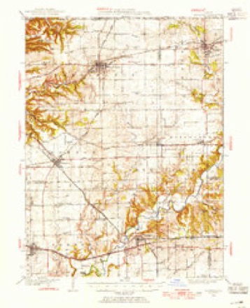
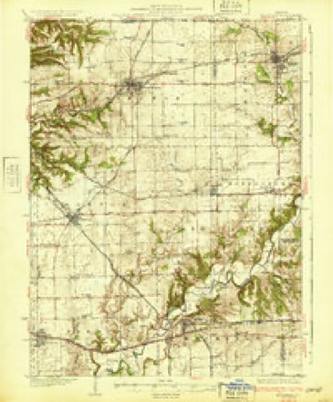
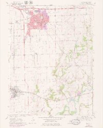
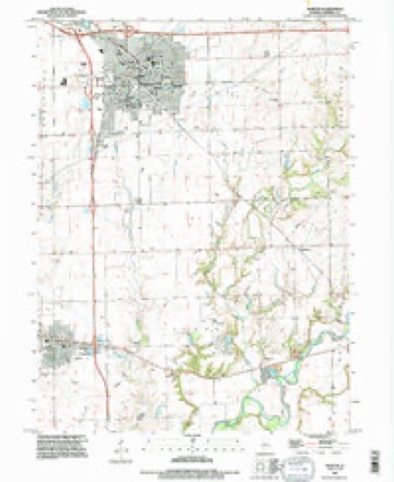
10 surveys from 15 printed sheetsMatched by testing this settlement's coordinate against the published boundary of every sheet in the United States Geological Survey's historical collection. Each opens the scanned sheet at the Survey.
- 1928 USGS Mackinaw quadrangle1:62500
- 1932 USGS Mackinaw quadrangle1:62500, 2 printings
- 1958 USGS Peoria quadrangle1:250000, 4 printings
- 1961 USGS Peoria quadrangle1:250000
- 1963 USGS Peoria quadrangle1:250000
- 1970 USGS Morton quadrangle1:24000, 2 printings
- 1985 USGS Peoria quadrangle1:100000
- 1989 USGS Peoria quadrangle1:100000
- 1990 USGS Peoria quadrangle1:250000
- 1995 USGS Morton quadrangle1:24000






In the county-history sources
4,654 words on this townshipHistory of Tazewell County, Illinois ; Together with Sketches of Its Cities, Villages and Townships, Educational, Religious, Civil, Military, and Political History; Portraits of Prominent Persons and Biographies of Representative Citizens. History of Illinois ... Digest of State Laws, published 1879 names this settlement in its chapter on Morton Township. These are the passages that mention it, exactly as the scans read.
Harvey Campbell proposed the name for this township, and in honor of Gov. Morton, of Mass. A man by the name of Soward was the fir.st settler. He located on sec. 31, but just when is not known. He had a bearing orchard, however, as early as 1831. Among the earliest settlers were, Isreal Shreeve and son, Julius ; Daniel Roberts and sons, John M. Roberts, Ambrose Roberts, Darius Roberts, Walter Roberts ; Alfred Phillips ; Rev. Wm. Brown ; U. H. Crosby. Maus Shreeve was the first child born, which was in the spring of 1831. The first death was Mary Elizabeth, infant daughter of Rev. Wm. Brown, died Dec. 1831. The first schoolhouse was built on sec. 4, somewhere between the years 1828 and 1831. It is claimed that Rev. Wm. Brown taught the first school in his own cabin, in the spring of 1831. The second school-house was built on sec. 16. All material and work was paid for in the currency of that day, viz: labor and trade, no cash. This building is now used as a dwelling by H. N. Crosby. At that date Uriah Crosby was the frontier settler, and had to plow around and protect his property from the prairie fires. But the building of this schoolhouse induced others to settle in his neighborhood.
Passage source: History of Tazewell County, Illinois ; Together with Sketches of Its Cities, Villages and Townships, Educational, Religious, Civil, Military, and Political History; Portraits of Prominent Persons and Biographies of Representative Citizens. History of Illinois ... Digest of State Laws, published 1879.
Uriah H. Crosby came to Morton in 1832, and settled permanently in 1834, erecting his log cabin on the spot where his house now stands, on sec. 9. At this time a few settlers were scattered here and there over the county. He came a little in advance l f the Tremont colony, from New York. This colony entered all Government land on the two southern tiers of sections in Morton. ISIr. C. was busily engaged in making a home in the wilderness, and his trusty rifle was his constant companion.
Passage source: History of Tazewell County, Illinois ; Together with Sketches of Its Cities, Villages and Townships, Educational, Religious, Civil, Military, and Political History; Portraits of Prominent Persons and Biographies of Representative Citizens. History of Illinois ... Digest of State Laws, published 1879.
The original village of Morton was laid out by J. M. Campbell, in October, 1850, in the form of a triangle, comprising about five and one-half acres of land. Since then he has made several additions. His brother, W. W., together ^^'1th others, have added to the village until it is a beautiful place, and contains about 300 acres of land. It was incorporated under the late general law for organizing villages, and the first officers were elected in August, 1877.
Passage source: History of Tazewell County, Illinois ; Together with Sketches of Its Cities, Villages and Townships, Educational, Religious, Civil, Military, and Political History; Portraits of Prominent Persons and Biographies of Representative Citizens. History of Illinois ... Digest of State Laws, published 1879.
Machine-read from a century-old scan, so expect the errors a machine makes: misspelled names, dropped words, stray characters.
Read the whole chapter on Morton Township - it names this place 17 more 17 times.
Fires near this place
5 since 2010Regional context, not property-specific evidence. The federal wildfire occurrence database lists 5 fires within 5 miles of Morton between 2010 and 2014, burning about 21 acres in total. None started naturally. None was recorded as arson. Distance is straight-line from the map coordinates, so a fire counted here may appear on a neighbouring settlement's page as well.
| Reported cause | Fires |
|---|---|
| Missing data/not specified/undetermined | 2 |
| Debris and open burning | 2 |
| Equipment and vehicle use | 1 |
The most recent of them, most recent first, with the day each was reported and the service that recorded it.
| Date | Cause | Size | Reported by | Name on the report |
|---|---|---|---|---|
| 23 September 2010 | Missing data/not specified/undetermined | 15 acres | Illinois Division of Forestry Resources | 10207 |
| 18 March 2012 | Equipment and vehicle use | 2.0 acres | Illinois Division of Forestry Resources | QUEEN |
| 15 March 2014 | Debris and open burning | 2.0 acres | Illinois Division of Forestry Resources | NEHRING |
| 10 December 2010 | Debris and open burning | 1.0 acres | Illinois Division of Forestry Resources | WAGNER |
| 10 November 2010 | Missing data/not specified/undetermined | 1.0 acres | Illinois Division of Forestry Resources | LIST |
Settlements close enough to share some of these fires:
Mines and quarries near this place
1 within 5 milesRegional context, not property-specific evidence. The federal mineral resources record lists 1 working within 5 miles of Morton: 1 past producer. None of them still produces. What was taken out: Sand and Gravel, Construction. Distance is straight-line from the map coordinates, so a quarry counted here may appear on a neighbouring settlement's page as well.
| Where | Site | Commodity | Status | Recorded |
|---|---|---|---|---|
| Peoria Pit | Sand and Gravel, Construction | Past Producer |
Storms near this place
54 since 1994Regional context, not property-specific evidence. The National Weather Service names Morton in 54 storm reports between 1994 and 2025: 29 thunderstorm wind, 19 hail, 3 tornado, 3 flash flood. The reports record 6 injuries. Each account below is quoted exactly as the forecast office filed it, from the NOAA Storm Events Database, and each date opens the federal record of that event.
| When | Event | Place named | Harm | What the report says |
|---|---|---|---|---|
| June 1995 | Thunderstorm Wind | Morton | 6 hurt | Thunderstorm winds blew down the roof of a motel that was being constructed. Six workers were injured, none seriously. Also, at another nearby construction site, the top two floors of a three story townhouse complex were flattened. No one was injured in that incident. No damage estimate was available. |
| May 2017 | Thunderstorm Wind | Morton | $100,000 | Numerous trees and power lines were blown down on the north side of Morton north of I-74 from Lakeland Road eastward to Tennessee Avenue. |
| June 2009 | Thunderstorm Wind | Morton | $50,000 | Several trees and power lines were blown down. |
| October 2010 | Thunderstorm Wind | Morton | $40,000 | Power poles were blown down in Morton. |
| July 2020 | Thunderstorm Wind | Morton | $30,000 | Fencing and numerous trees were blown down in Morton. |
| June 2008 | Thunderstorm Wind | Morton | $20,000 | Numerous trees and tree limbs were blown down. |
| June 2010 | Thunderstorm Wind | Morton | $15,000 | Numerous small tree limbs were blown down. |
| March 2017 | Thunderstorm Wind | Morton | $12,000 | A semi was blown over on I-155 at the Main Street exit. |
| May 2013 | Thunderstorm Wind | Morton | $10,000 | Several tree branches were blown down at Queenwood and Main Street in Morton. |
| June 2011 | Thunderstorm Wind | Morton | $2,000 | A 12-inch diameter tree was snapped in Morton. |
| May 2008 | Thunderstorm Wind | Morton | $2,000 | A large tree was blown down across North Main Street. |
| December 2025 | Thunderstorm Wind | Morton | - | Tree branches and power lines were blown down, causing a power outage in town. |
| May 2023 | Thunderstorm Wind | Morton | - | A power pole was leaning at the Colony South Apartments near South Main Street and East Idlewood Street in Morton. |
| May 2023 | Thunderstorm Wind | Morton | - | Two 2.5-inch diameter tree branches were blown down. |
| June 2023 | Thunderstorm Wind | Morton | - | The wind gust was estimated by a trained spotter. |
| December 2021 | Thunderstorm Wind | Morton | - | A large tree branch was blown down. |
| October 2021 | Flash Flood | Morton | - | Several inches of water flooded parts of West Jackson Street between Morton Avenue and Main Street. Ponding of water occurred at the Nestle Plant parking lot and onto parts of Morton Avenue. |
| July 2020 | Thunderstorm Wind | Morton | - | An 8-inch diameter tree limb was blown down. |
| July 2020 | Flash Flood | Morton | - | Numerous roads were flooded with up to one foot of water in Morton. |
| August 2020 | Thunderstorm Wind | Morton | - | Several 6-inch diameter tree branches were blown down. |
| June 2019 | Thunderstorm Wind | Morton | - | Several tree limbs were blown down. |
| June 2019 | Thunderstorm Wind | Morton | - | Several 2 to 3-inch diameter tree branches were blown down. |
| August 2019 | Thunderstorm Wind | Morton | - | A large tree was split down the middle. |
| May 2019 | Thunderstorm Wind | Morton | - | An 8-inch diameter tree branch was snapped. |
| November 2015 | Thunderstorm Wind | Morton | - | A tree was snapped in Morton. |
| May 2008 | Flash Flood | Morton | - | Heavy rains caused flooding across many roads in Tazewell County. |
| March 2007 | Thunderstorm Wind | Morton | - | A farmstead was damaged east of Morton. A shed was severely damaged, and a couple grain bins sustained minor damage. Minor damage occurred to the siding and gutters on the home. In addition, power lines were blown down near Washington.| |
| June 2006 | Tornado (F0) | Morton | - | The tornado briefly touched down in a field. No damage was reported. |
| July 2005 | Thunderstorm Wind | Morton | - | Numerous large tree branches blown down. |
| September 2005 | Thunderstorm Wind | Morton | - | Part of roof torn off of shopping center. |
| May 2004 | Thunderstorm Wind | Morton | - | Several large trees were blown down. |
| May 2003 | Tornado (F1) | Morton | - | After the long track tornado dissipated, another tornado formed 3 miles north of Morton and traveled to the northeast. Three homes sustained major damage as well as a business. No injuries were reported. |
| July 1994 | Tornado (F0) | Morton | - | State police reported a brief tornado touchdown near Interstate 74 just west of Morton. |
| February 2024 | Hail | Morton | - | no account filed |
| July 2024 | Thunderstorm Wind | Morton | - | no account filed |
| March 2023 | Hail | Morton | - | no account filed |
| March 2023 | Hail | Morton | - | no account filed |
| June 2021 | Hail | Morton | - | no account filed |
| June 2021 | Hail | Morton | - | no account filed |
| October 2021 | Hail | Morton | - | no account filed |
| May 2019 | Hail | Morton | - | no account filed |
| May 2017 | Hail | Morton | - | no account filed |
| November 2016 | Hail | Morton | - | no account filed |
| November 2016 | Hail | Morton | - | no account filed |
| April 2015 | Hail | Morton | - | no account filed |
| April 2012 | Hail | Morton | - | no account filed |
| April 2012 | Hail | Morton | - | no account filed |
| May 2011 | Hail | Morton | - | no account filed |
| May 2010 | Hail | Morton | - | no account filed |
| May 2010 | Hail | Morton | - | no account filed |
| January 2008 | Hail | Morton | - | no account filed |
| May 2004 | Hail | Morton | - | no account filed |
| June 2001 | Hail | Morton | - | no account filed |
| July 1996 | Thunderstorm Wind | Morton | - | no account filed |
Nearest settlements
The eight closest, with where each one stands in the county. Distances are straight-line, computed from the Geographic Names Information System coordinates.
Elsewhere
Matched on this settlement's Geographic Names Information System number rather than its name, so it cannot be a different place of the same name in another state.
| Wikipedia article on Morton | An encyclopaedic summary. Its text is share-alike, so it is linked here rather than copied. |
| Wikidata item Q1641904 | The structured record the population and elevation above come from. Public domain (CC0). |
Provenance
This settlement is recorded in the Geographic Names Information System as feature 413862. The sheet list is computed by point-in-boundary test against the United States Geological Survey's historical topographic inventory. Both are works of the United States government and carry no copyright under 17 U.S.C. 105.
Wildfire. Short, Karen C. 2022. Spatial wildfire occurrence data for the United States, 1992-2020 [FPA_FOD_20221014]. 6th Edition. Fort Collins, CO: Forest Service Research Data Archive. https://doi.org/10.2737/RDS-2013-0009.6 Collected with United States Government funding and usable without additional permissions or fees.
Mines and quarries. USGS Mineral Resources Data System (MRDS) https://mrdata.usgs.gov/mrds/ A work of the United States government, no copyright under 17 U.S.C. 105.
Storms. NOAA National Centers for Environmental Information, Storm Events Database https://www.ncei.noaa.gov/stormevents/ A work of the United States government, no copyright under 17 U.S.C. 105. Narratives are quoted verbatim from the National Weather Service report and are not edited or summarised.