 Block
Pinkstaff, Illinois
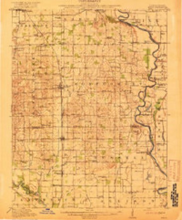
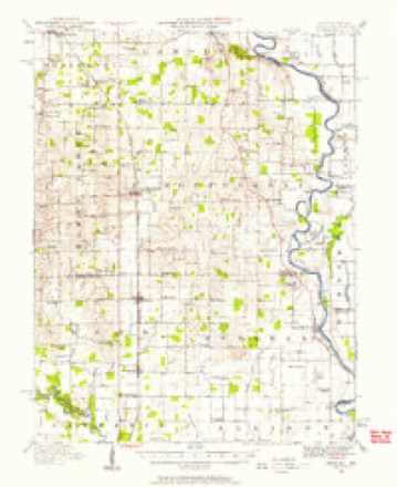
13 topographic sheets cover this place, the earliest surveyed in 1917 and the latest in 1986. It stands in Bond Township. It lies in ZIP code area 62439. It stands on Flat Branch. The Survey maps it on the Birds quadrangle. It stands 440 feet above sea level.
Topographic sheets covering this place
7 surveys from 13 printed sheetsMatched by testing this settlement's coordinate against the published boundary of every sheet in the United States Geological Survey's historical collection. Each opens the scanned sheet at the Survey.
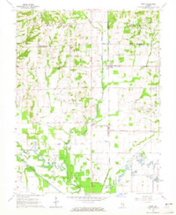
- 1917 USGS Birds quadrangle1:62500, 2 printings
- 1942 USGS Birds quadrangle1:62500
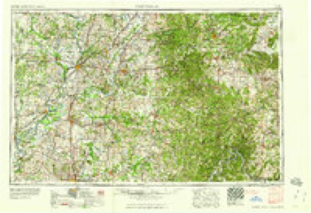
- 1956 USGS Vincennes quadrangle1:250000, 4 printings
- 1957 USGS Vincennes quadrangle1:250000
- 1958 USGS Vincennes quadrangle1:250000, 2 printings
- 1964 USGS Birds quadrangle1:24000
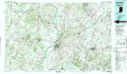
- 1986 USGS Vincennes quadrangle1:100000, 2 printings
In the county-history sources
24,828 words on this townshipCombined History of Edwards, Lawrence and Wabash Counties, Illinois. With Illustrations ... and Biographical Sketches of Some of Their Prominent Men and Pioneers, published 1883 names this settlement in its chapter on Bond Township. These are the passages that mention it, exactly as the scans read.
The earliest settlement in the township was made in j the neighborhood of Pinkstaff station, about the year | 1815, by Tennesseans. Adam Lackey, Sr., a Revolutionary soldier, came to Lawrence county in 1813, and -went into Fort Allison. He had three children, Adam, Jr., Elizabeth and John, an infant of two years. At the return of peace and the cessation of Indian hostilities, he moved to the N. E. i of the S. E J of section 5, T. 4, R. 11, and there settled permanently and died. His j sons, Adam, Jr., and John, married and settled in the vicinity, and have a number of representatives in the county. About this time, three brothers, William,
Passage source: Combined History of Edwards, Lawrence and Wabash Counties, Illinois. With Illustrations ... and Biographical Sketches of Some of Their Prominent Men and Pioneers, published 1883.
John and David McCord, with families sought homes in the same vicinity. They first settled on the N. E. quarter of the N. W. quarter of section 5, T. 4, R. 11. John and David located at what is now Pinkstaff station. A negro settlement was begun in the township, sections 8 and 9, T. 4, R. 11, in the year 1815 or '16. Lion and John Morris settled respectively on the N. E. quarter and the S. E. quarter of section 8, which they entered in 1816. In 1817 Joshua Anderson settled on the If. E. quarter of section 9. Elihu Cole, Obed Goings, John Porter and Matthew Steward lived in the same settlement. The Morris' and the three brothers Anderson were in Fort Allison, and used to go scouting with the other occupants. The mother of the Morris', whose husband was killed by the Indians, expressed the revengeful and mirth-provoking desire, that a cannon be placed on Dubois Hill to exterminate the race who were the authors of her wrongs. The negro settlement has been pushed southward, and now lies mainly in Lawrence township. About the year 1819 a community of the sect known as Shakers, numbering about forty in all, was formed on the Embarras river, at what is now Charlotlesville, by immigrants from Shakertown, Knox county, Indiana, which, now extinct, was quite a village in 1821. The Shakers held their property in common, and transacted all business and financial matters through a board of trustees composed of three individuals. Daniel Rankin and A. Gallaher were members of the first board. William Douglas, George Legier and William Davis also occupied the position of trustees. On their arrival, in 1819, they built two houses, one for the men and another for the women, as the sexes lived apart from each other. The " Shaker Mill " soon followed, and was put in operation in the spring of 1820. It was a frame water-mill with one set of burrs, and was built on the west bank .of the river. The Shakers had operated it about two years, when the breaking of the milldam cast discouragement about them, and having leased \ the property to a man named Beecher, they abandoned their plan of founding a permanent settlement on the Embarras, and emigrated to Shakertown and other points.
Passage source: Combined History of Edwards, Lawrence and Wabash Counties, Illinois. With Illustrations ... and Biographical Sketches of Some of Their Prominent Men and Pioneers, published 1883.
It was laid out by Owen Pinkstaff on the southwest quarter of section 8, T. 4, R. 11, and surveyed and platted by B. Benefiel, county surveyor February 23, 1877. T. J. Pinkstaff built a combined dwelling and store, and sold the first goods in 1878. He still continues in business, and is post-master. The post-office was established in 1877, and Alonzo Eaton was its first keeper.
Passage source: Combined History of Edwards, Lawrence and Wabash Counties, Illinois. With Illustrations ... and Biographical Sketches of Some of Their Prominent Men and Pioneers, published 1883.
Machine-read from a century-old scan, so expect the errors a machine makes: misspelled names, dropped words, stray characters.
Read the whole chapter on Bond Township - it names this place 2 more 2 times.
Fires near this place
4 since 2008Regional context, not property-specific evidence. The federal wildfire occurrence database lists 4 fires within 5 miles of Pinkstaff between 2008 and 2010, burning about 7 acres in total. None started naturally. None was recorded as arson. Distance is straight-line from the map coordinates, so a fire counted here may appear on a neighbouring settlement's page as well.
| Reported cause | Fires |
|---|---|
| Missing data/not specified/undetermined | 2 |
| Debris and open burning | 1 |
| Equipment and vehicle use | 1 |
The most recent of them, most recent first, with the day each was reported and the service that recorded it.
| Date | Cause | Size | Reported by | Name on the report |
|---|---|---|---|---|
| 8 September 2010 | Debris and open burning | 1.0 acres | Illinois Division of Forestry Resources | MICHAEL |
| 24 June 2008 | Equipment and vehicle use | 1.0 acres | Illinois Division of Forestry Resources | GOSNELL |
| 24 June 2008 | Missing data/not specified/undetermined | 3.0 acres | Illinois Division of Forestry Resources | BUCHANAN |
| 8 November 2009 | Missing data/not specified/undetermined | 2.0 acres | Illinois Division of Forestry Resources | EDINGTON2 |
Settlements close enough to share some of these fires:
Mines and quarries near this place
4 within 5 milesRegional context, not property-specific evidence. The federal mineral resources record lists 4 workings within 5 miles of Pinkstaff: 2 producers, 2 past producers. 2 still produce. What was taken out: Sand and Gravel, Construction. Distance is straight-line from the map coordinates, so a quarry counted here may appear on a neighbouring settlement's page as well.
| Where | Site | Commodity | Status | Recorded |
|---|---|---|---|---|
| Gregory Gravel Co. - Dredge | Sand and Gravel, Construction | Producer | ||
| Lawerence County Pit | Sand and Gravel, Construction | Past Producer | ||
| Lawrenceville Dredge - H & B Gravel | Sand and Gravel, Construction | Past Producer | ||
| Lawrenceville Plant | Sand and Gravel, Construction | Producer |
Storms near this place
6 since 2001Regional context, not property-specific evidence. The National Weather Service names Pinkstaff in 6 storm reports between 2001 and 2025: 2 hail, 2 flash flood, 2 thunderstorm wind. No death or injury is recorded in these reports. Each account below is quoted exactly as the forecast office filed it, from the NOAA Storm Events Database, and each date opens the federal record of that event.
| When | Event | Place named | Harm | What the report says |
|---|---|---|---|---|
| July 2016 | Thunderstorm Wind | Pinkstaff | $30,000 | Numerous trees were blown down in Pinkstaff. |
| June 2010 | Thunderstorm Wind | Pinkstaff | $15,000 | Several large tree limbs were blown down. In addition, minor siding damage occurred to a house. |
| August 2025 | Flash Flood | Pinkstaff | - | Water was reported up to 3 feet deep along Illinois Route 1 on the north side of Lawrenceville. |
| June 2008 | Flash Flood | Pinkstaff | - | At approximately 0136 CST on 6/10, Lawrence County emergency managers reported a 200 yard wide levee failure along Otter Pond Creek two miles west of the Lawrenceville airport. This break led to widespread flooding downstream across much of eastern Lawrence County. |
| May 2010 | Hail | Pinkstaff | - | no account filed |
| April 2001 | Hail | Pinkstaff | - | no account filed |
Nearest settlements
The eight closest, with where each one stands in the county. Distances are straight-line, computed from the Geographic Names Information System coordinates.
| Map | Place | Distance | Sheets |
|---|---|---|---|
| Birds | 2.9 miles | 13 | |
| Riddleville | 4.1 miles | 13 | |
| Lawrenceville | 4.6 miles | 17 | |
| Jackson | 5.2 miles | 17 | |
| Westport | 5.3 miles | 12 | |
| Charlottsville (historical) | 5.3 miles | 12 | |
| Grisold (historical) | 5.5 miles | 17 | |
| Petrolia | 6.3 miles | 12 |
Elsewhere
Matched on this settlement's Geographic Names Information System number rather than its name, so it cannot be a different place of the same name in another state.
| Wikipedia article on Pinkstaff | An encyclopaedic summary. Its text is share-alike, so it is linked here rather than copied. |
| Wikidata item Q7196220 | The structured record the population and elevation above come from. Public domain (CC0). |
Provenance
This settlement is recorded in the Geographic Names Information System as feature 415719. The sheet list is computed by point-in-boundary test against the United States Geological Survey's historical topographic inventory. Both are works of the United States government and carry no copyright under 17 U.S.C. 105.
Wildfire. Short, Karen C. 2022. Spatial wildfire occurrence data for the United States, 1992-2020 [FPA_FOD_20221014]. 6th Edition. Fort Collins, CO: Forest Service Research Data Archive. https://doi.org/10.2737/RDS-2013-0009.6 Collected with United States Government funding and usable without additional permissions or fees.
Mines and quarries. USGS Mineral Resources Data System (MRDS) https://mrdata.usgs.gov/mrds/ A work of the United States government, no copyright under 17 U.S.C. 105.
Storms. NOAA National Centers for Environmental Information, Storm Events Database https://www.ncei.noaa.gov/stormevents/ A work of the United States government, no copyright under 17 U.S.C. 105. Narratives are quoted verbatim from the National Weather Service report and are not edited or summarised.