 Block
Birds, Illinois
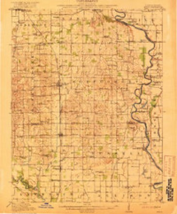
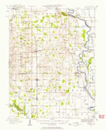
13 topographic sheets cover this place, the earliest surveyed in 1917 and the latest in 1986. It stands in Bond Township. It lies in ZIP code area 62427. The Survey maps it on the Birds quadrangle.
Topographic sheets covering this place
7 surveys from 13 printed sheetsMatched by testing this settlement's coordinate against the published boundary of every sheet in the United States Geological Survey's historical collection. Each opens the scanned sheet at the Survey.
- 1917 USGS Birds quadrangle1:62500, 2 printings
- 1942 USGS Birds quadrangle1:62500
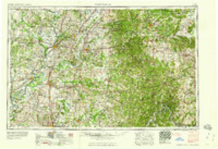
- 1956 USGS Vincennes quadrangle1:250000, 4 printings
- 1957 USGS Vincennes quadrangle1:250000
- 1958 USGS Vincennes quadrangle1:250000, 2 printings
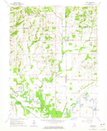
- 1964 USGS Birds quadrangle1:24000
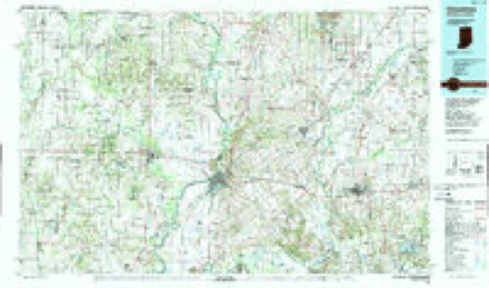
- 1986 USGS Vincennes quadrangle1:100000, 2 printings
In the county-history sources
24,828 words on this townshipCombined History of Edwards, Lawrence and Wabash Counties, Illinois. With Illustrations ... and Biographical Sketches of Some of Their Prominent Men and Pioneers, published 1883 has no passage naming this settlement, which was common for smaller places. Its township is covered in full.
The chapter on Bond Township covers the township.
Read the chapter on Bond Township - 24,828 words.
Mines and quarries near this place
2 within 5 milesRegional context, not property-specific evidence. The federal mineral resources record lists 2 workings within 5 miles of Birds: 1 producer, 1 prospect. 1 still produces. What was taken out: Sand and Gravel, Construction, Clay. Distance is straight-line from the map coordinates, so a quarry counted here may appear on a neighbouring settlement's page as well.
| Where | Site | Commodity | Status | Recorded |
|---|---|---|---|---|
| Goodhope Shale Exposure | Clay | Prospect | ||
| Lawrenceville Plant | Sand and Gravel, Construction | Producer |
Storms near this place
19 since 1996Regional context, not property-specific evidence. The National Weather Service names Birds in 19 storm reports between 1996 and 2022: 11 hail, 7 thunderstorm wind, 1 flash flood. No death or injury is recorded in these reports. Each account below is quoted exactly as the forecast office filed it, from the NOAA Storm Events Database, and each date opens the federal record of that event.
| When | Event | Place named | Harm | What the report says |
|---|---|---|---|---|
| May 1996 | Flash Flood | Birds | $250,000 | no account filed |
| July 2012 | Thunderstorm Wind | Birds | $15,000 | Numerous tree branches were blown down between Birds and Russellville. |
| June 2008 | Thunderstorm Wind | Birds | $15,000 | Numerous large tree limbs were blown down between Birds and Russellville. |
| May 2022 | Thunderstorm Wind | Birds | - | A roof was blown off a house northwest of Birds near the Lawrence-Crawford County line. |
| July 2017 | Thunderstorm Wind | Birds | - | Numerous trees and power lines were blown down in Sumner. |
| May 2016 | Hail | Birds | - | Hail covered the road. |
| May 2011 | Thunderstorm Wind | Birds | - | Numerous trees and power lines were blown down in Birds. |
| August 2006 | Thunderstorm Wind | Birds | - | A tree was blown down. |
| May 1998 | Hail | Birds | - | Hail up to baseball size caused considerable damage to 13 parked cars at one residence 3 miles east of Birds, breaking house and car windows. It also seriously dented the vehicles and siding on the house. A mile down the road the hail damaged another car. No injuries were reported and no damage estimate was available. |
| July 2012 | Hail | Birds | - | no account filed |
| March 2012 | Hail | Birds | - | no account filed |
| June 2011 | Hail | Birds | - | no account filed |
| November 2011 | Hail | Birds | - | no account filed |
| April 2011 | Hail | Birds | - | no account filed |
| April 2011 | Hail | Birds | - | no account filed |
| May 2010 | Hail | Birds | - | no account filed |
| June 2006 | Hail | Birds | - | no account filed |
| June 2006 | Thunderstorm Wind | Birds | - | no account filed |
| May 2004 | Hail | Birds | - | no account filed |
Nearest settlements
The eight closest, with where each one stands in the county. Distances are straight-line, computed from the Geographic Names Information System coordinates.
| Map | Place | Distance | Sheets |
|---|---|---|---|
| Riddleville | 1.4 miles | 13 | |
| Pinkstaff | 2.9 miles | 13 | |
| Charlottsville (historical) | 4.6 miles | 12 | |
| Westport | 4.9 miles | 12 | |
| Russellville | 7.3 miles | 14 | |
| Lawrenceville | 7.5 miles | 17 | |
| Applegate | 7.5 miles | 12 | |
| Petrolia | 7.9 miles | 12 |
Provenance
This settlement is recorded in the Geographic Names Information System as feature 404461. The sheet list is computed by point-in-boundary test against the United States Geological Survey's historical topographic inventory. Both are works of the United States government and carry no copyright under 17 U.S.C. 105.
Mines and quarries. USGS Mineral Resources Data System (MRDS) https://mrdata.usgs.gov/mrds/ A work of the United States government, no copyright under 17 U.S.C. 105.
Storms. NOAA National Centers for Environmental Information, Storm Events Database https://www.ncei.noaa.gov/stormevents/ A work of the United States government, no copyright under 17 U.S.C. 105. Narratives are quoted verbatim from the National Weather Service report and are not edited or summarised.