 Block
Pitcherville, Illinois
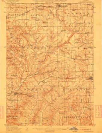
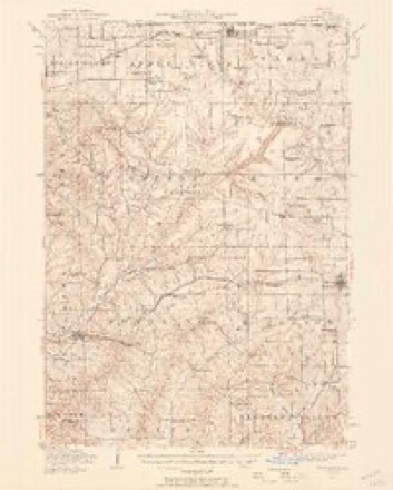
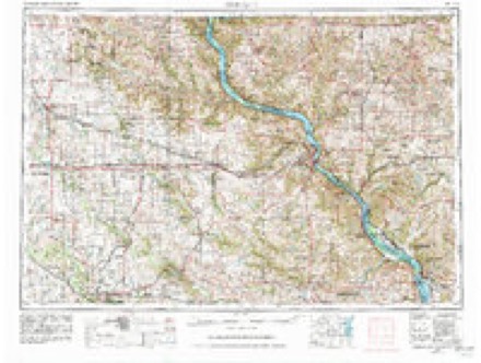
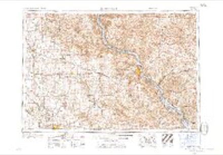
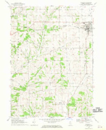
14 topographic sheets cover this place, the earliest surveyed in 1911 and the latest in 1984. It stands in Stockton Township. It lies in ZIP code area 61085. It lies near Simmons Mound. The Survey maps it on the Stockton quadrangle. The federal gazetteer marks this settlement historical: it is no longer a populated place, though the surveys that recorded it still are.
Topographic sheets covering this place
8 surveys from 14 printed sheetsMatched by testing this settlement's coordinate against the published boundary of every sheet in the United States Geological Survey's historical collection. Each opens the scanned sheet at the Survey.
- 1911 USGS Elizabeth quadrangle1:62500, 2 printings
- 1936 USGS Elizabeth quadrangle1:62500, 2 printings
- 1959 USGS Dubuque quadrangle1:250000
- 1961 USGS Dubuque quadrangle1:250000
- 1962 USGS Dubuque quadrangle1:250000, 2 printings
- 1968 USGS Stockton quadrangle1:24000
- 1976 USGS Dubuque quadrangle1:250000
- 1984 USGS Dubuque South quadrangle1:100000, 4 printings
In the county-history sources
5,386 words on this townshipThe History of Jo Daviess County, Illinois, Containing a History of the County, Its Cities, Towns, Etc., a Biographical Directory of Its Citizens, War Record of Its Volunteers in the Late Rebellion ... History of the Northwest, History of Illinois ... Constitution of the United States, published 1878 names this settlement in its chapter on Stockton Township. These are the passages that mention it, exactly as the scans read.
The first school records were made in 1843, when E. C. Hamilton, J. R. Patridge and B. F. Parker were appointed trustees by the Commissioners Court. An enumeration of school children was made that year and it was found that there were seventy-five in the township. In 1868 there were 670, and at the present time there are 559. In 1843 the township was divided into two districts; now there are eight school-houses and a number of joint districts with other townships. The early history of Stockton and Ward's Grove Townships is intimately connected, and many men who are now residents of Stockton Township, came to Ward's Grove as early as 1835 to '38. The Tyrrells came in 1838; Miles and Frank are now living in Stockton Township. James Blair was also an early settler of Ward's Grove, although now living in Stockton. The vicinity of Morseville has been a trading point for a great many years ; a blacksmith shop in 1851 by Jonathan Parker, and store, was one of the early institutions. In 1852, Miles Tyrrell purchased the business of Talbot, and has since been continually connected with the business interests of the place. In 1866, Ashael Morse had the Village of Morseville platted and recorded. In 1871 he built his hotel there, and, during the same year, the greater part of the buildings in the village were erected. In an early day the people were poorly provided with post-offices, although the township now has five. There was a post-office in the south part of the township known as West Plum River, but that was abandoned in 1842. Another office was established at or ne'ar the same place about 1849. During Buchanan's administration it was removed to Morseville, and Miles Tyrrell made postmaster. R. Strickland at present manages the office. In the Spring of 1862 another office was established, known as Yankee Hollow, and G. L. Dow made postmaster. He held the office until 1865, when B. F. Parker took it and held it until his death in 1874. His daughter was commissioned in Feb., 1875, and now holds the office. At quite an early day an office was established near the centre of the township known as Stockton, and Fred. Tucker was made postmaster. He went to California several years ago, when his wife took charge of the office, and continued to discharge the duties until May, 1875, when it was removed to Geo. Justus', and he was made postmaster. A post-office called Pitcherville was established in the northeast part of the township in 1868, and Mr. Pitcher officiated as postmaster. S. T. Eade now has charge of the office. In 1874 an office named Winters was established near the centre, with Henry Winter as postmaster. He still acts in that capacity. There are two church buildings in the township ; one at the centre, and one at Morseville. The centre church nominally belongs to the Free Will Baptists, but the organization is very weak, and maintains no regular services. It was built in 1868. The church at Morseville is a Union church which was erected in 1870, and any denomination is welcome to the use of it. The Winebrenarians have a feeble organization, but do not hold regular services.
Passage source: The History of Jo Daviess County, Illinois, Containing a History of the County, Its Cities, Towns, Etc., a Biographical Directory of Its Citizens, War Record of Its Volunteers in the Late Rebellion ... History of the Northwest, History of Illinois ... Constitution of the United States, published 1878.
In 1875, an insurance company, known as the " Stockton and Ward's Grove Mutual Fire and Lightning Insurance Company," was organized under the act of 1874. The present officers are M. K. Hammond, President, Geo. Justus, Secretary, and Samuel Tyrrel, Treasurer. The company has had only one loss, which amounted to $425. They now have 135 policies in force, and $150,000 liable to assessment. There is a Masonic Lodge at Morseville, known as Plum River Lodge No. 554. It was chartered Oct. i, 1867. The present officers are Francis Tyrrell, Master; A. B. Byrum, S. W. ; C. Tiffany, J. W. ; Wm. Farrell, S. D.; S. E. Waldo, J. D. ; J. N. Sharp, Chaplain; Samuel Tyrrell, Treasurer; F- S. Tyrrell, Secretary; Millard Johnson and W. H. Starkey, Stewards ; Jno. F. Tyrrell, Tyler. When the lands came into market the north half of this township was held as a mineral reserve, but the south half has proven the most valuable in mineral. More or less has been taken out since the country was first settled, but about 1871 the greatest quantity was found, and Morseville bid fair to become a lively mining town. But the lead suddenly gave out, and but very little has been done at it since. The manufacture of cheese was commenced, and two factories built. The work was abandoned, however, after a short time. At Morseville, H. F. Hastings has been in business in a general store for a number of years. He has always lived in the West, and is a thorough Western man. There are two blackmith shops in Morseville, also two wagon shops, one harness shop, one tin shop, one drug store, and one hotel. The latter was originated by Ashael Morse, who was killed about a year ago by being thrown from a wagon. Geo. A. Bixby now runs the hotel business. At the centre, Winter & Johnson are engaged in a general country store, and at Pitcherville, S. T. Eade is likewise engaged.
Passage source: The History of Jo Daviess County, Illinois, Containing a History of the County, Its Cities, Towns, Etc., a Biographical Directory of Its Citizens, War Record of Its Volunteers in the Late Rebellion ... History of the Northwest, History of Illinois ... Constitution of the United States, published 1878.
BREED C. A. Farmer; Sec. 3; P.O. Pitcherville ; born in Otsego Co., N. Y., in 1830, and lived there until 25 years of age, when he came to this Co., and has lived here ever since ; was married in 1849 to Catherine Smith, who was born in Otsego Co., N. Y. ; they have five children: Hil, Charlie, Mary A.lice, Aleric and Amos Worth ; owns 102 acres of land, valued at $4,000; Greenback in politics.
Passage source: The History of Jo Daviess County, Illinois, Containing a History of the County, Its Cities, Towns, Etc., a Biographical Directory of Its Citizens, War Record of Its Volunteers in the Late Rebellion ... History of the Northwest, History of Illinois ... Constitution of the United States, published 1878.
Machine-read from a century-old scan, so expect the errors a machine makes: misspelled names, dropped words, stray characters.
Read the whole chapter on Stockton Township - it names this place 1 more 1 time.
Fires near this place
2 since 2004Regional context, not property-specific evidence. The federal wildfire occurrence database lists 2 fires within 5 miles of Pitcherville (historical) between 2004 and 2009, burning about 4 acres in total. None started naturally. None was recorded as arson. Distance is straight-line from the map coordinates, so a fire counted here may appear on a neighbouring settlement's page as well.
| Reported cause | Fires |
|---|---|
| Recreation and ceremony | 1 |
| Missing data/not specified/undetermined | 1 |
The most recent of them, most recent first, with the day each was reported and the service that recorded it.
| Date | Cause | Size | Reported by | Name on the report |
|---|---|---|---|---|
| 17 April 2004 | Recreation and ceremony | 2.0 acres | Illinois State Fire Marshal's Office | not named |
| 11 April 2009 | Missing data/not specified/undetermined | 2.0 acres | Illinois Division of Forestry Resources | GERLACH |
Settlements close enough to share some of these fires:
Mines and quarries near this place
8 within 5 milesRegional context, not property-specific evidence. The federal mineral resources record lists 8 workings within 5 miles of Pitcherville (historical): 6 past producers, 1 producer, 1 plant. 2 still produce. What was taken out: Stone, Crushed/Broken, Limestone, General. Distance is straight-line from the map coordinates, so a quarry counted here may appear on a neighbouring settlement's page as well.
| Where | Site | Commodity | Status | Recorded |
|---|---|---|---|---|
| Piierce Quarry | Limestone, General | Past Producer | ||
| Anderson Quarry | Stone, Crushed/Broken | Past Producer | ||
| Lena Pit | Stone, Crushed/Broken | Producer | ||
| Mark Quarry | Stone, Crushed/Broken | Past Producer | ||
| Millershane Quarry | Stone, Crushed/Broken | Past Producer | ||
| Townsend Quarry | Stone, Crushed/Broken | Past Producer | ||
| Westaby Quarry | Stone, Crushed/Broken | Past Producer | ||
| Yungbluth Quarry & Mill | Stone, Crushed/Broken | Plant |
Nearest settlements
The eight closest, with where each one stands in the county. Distances are straight-line, computed from the Geographic Names Information System coordinates.
| Map | Place | Distance | Sheets |
|---|---|---|---|
| Stockton | 1.0 miles | 14 | |
| East Stockton (historical) | 1.9 miles | 14 | |
| Morseville | 4.2 miles | 14 | |
| Millville | 6.4 miles | 14 | |
| Willow | 6.6 miles | 14 | |
| Nora | 7.0 miles | 14 | |
| Elmoville | 7.2 miles | 14 | |
| Sweet Home (historical) | 7.4 miles | 14 |
Provenance
This settlement is recorded in the Geographic Names Information System as feature 1815794. The sheet list is computed by point-in-boundary test against the United States Geological Survey's historical topographic inventory. Both are works of the United States government and carry no copyright under 17 U.S.C. 105.
Wildfire. Short, Karen C. 2022. Spatial wildfire occurrence data for the United States, 1992-2020 [FPA_FOD_20221014]. 6th Edition. Fort Collins, CO: Forest Service Research Data Archive. https://doi.org/10.2737/RDS-2013-0009.6 Collected with United States Government funding and usable without additional permissions or fees.
Mines and quarries. USGS Mineral Resources Data System (MRDS) https://mrdata.usgs.gov/mrds/ A work of the United States government, no copyright under 17 U.S.C. 105.