 Block
Willow, Illinois
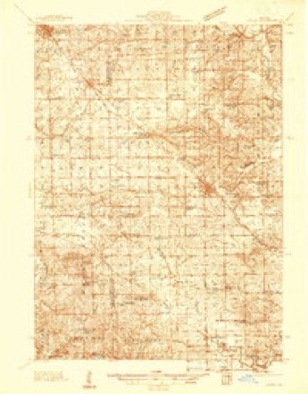
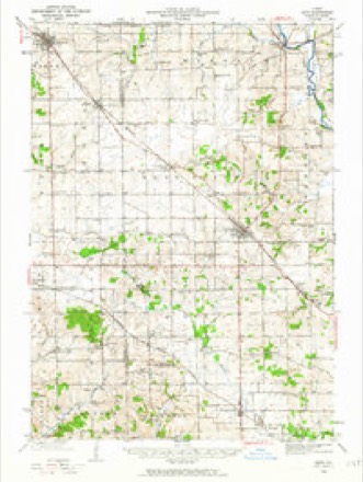
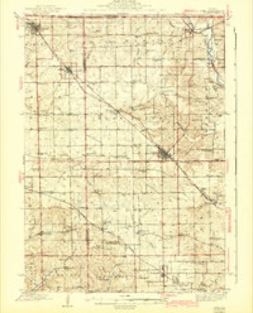
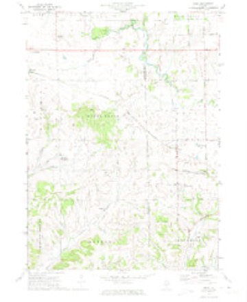
14 topographic sheets cover this place, the earliest surveyed in 1937 and the latest in 1981. It stands in Berreman Township. It lies in ZIP code area 61085. The Survey maps it on the Kent quadrangle.
Topographic sheets covering this place
9 surveys from 14 printed sheetsMatched by testing this settlement's coordinate against the published boundary of every sheet in the United States Geological Survey's historical collection. Each opens the scanned sheet at the Survey.
- 1937 USGS Lena quadrangle1:48000
- 1942 USGS Lena quadrangle1:62500
- 1943 USGS Lena quadrangle1:62500, 2 printings
- 1954 USGS Rockford quadrangle1:250000
- 1955 USGS Rockford quadrangle1:250000
- 1958 USGS Rockford quadrangle1:250000, 4 printings
- 1963 USGS Rockford quadrangle1:250000
- 1971 USGS Kent quadrangle1:24000
- 1981 USGS Rockford quadrangle1:100000, 2 printings





In the county-history sources
1,622 words on this townshipThe History of Jo Daviess County, Illinois, Containing a History of the County, Its Cities, Towns, Etc., a Biographical Directory of Its Citizens, War Record of Its Volunteers in the Late Rebellion ... History of the Northwest, History of Illinois ... Constitution of the United States, published 1878 names this settlement in its chapter on Berreman Township. These are the passages that mention it, exactly as the scans read.
The first birth in Berreman Township was a daughter of Mrs. James Parkinson, now Mrs. Jacob Klump. As before stated, the only post-office established was by Isaac W. Parkinson, who is now postmaster, although there have been several changes. The office is called " Willow," and located in Peter Bishop's store, which was the first general store opened in the township. There is now another near by, kept by Israel Solt, since 1876.
Passage source: The History of Jo Daviess County, Illinois, Containing a History of the County, Its Cities, Towns, Etc., a Biographical Directory of Its Citizens, War Record of Its Volunteers in the Late Rebellion ... History of the Northwest, History of Illinois ... Constitution of the United States, published 1878.
CI* AY JEREMIAH, Farmer; Sec. 5; P.O. Willow; was born in Summit Co., Ohio, Feb. 22, 1830; his mother with her family came to this Co. in 1849, and this has been his home since that time ; Sept. 20, 1855, married Martha Stahly, who was born in Summit Co., Ohio, Nov. 12, 1837 ; have eight children living: Mary C., Lovina J., William H., Mollie A., Samuel F., Charles S., Fannie A., Elliott R. ; was a member of the 153d I. V. I., and was honorably discharged at Springfield at the close of the war ; Mrs. Clay's mother (Mrs. Catherine Stahly) lives with them; she was born in Wurtemberg, Germany, April 16, 1806, and came to America in 1831 ; owns 198 acres of land ; was Postmaster two years and School Director six years ; member of M. E. Church and A. F. and A. M.
Passage source: The History of Jo Daviess County, Illinois, Containing a History of the County, Its Cities, Towns, Etc., a Biographical Directory of Its Citizens, War Record of Its Volunteers in the Late Rebellion ... History of the Northwest, History of Illinois ... Constitution of the United States, published 1878.
DARK JOHXC. Farmer; Sec. 19; P. O. Pleasant Valley; born in Westmoreland Co., Pa., Jan. 24, 1835; came to this Co. in 1856; was married May 13, 1860, to Ann Harkness, who was born in Canada June 27, 1837; one child living, Oscar E. ; have lost five children ; Sept., 1862, enlisted in 96th I. V. I., and served until the close of the war; was at Atlanta, Buzzard Roost Gap, Resaca, Dallas, Kenesaw Mountain, Peach Tree Creek, Lovejoy Station, Franklin, Nashville; served as Sergeant and Corporal, and was honorably discharged at Nashville ; owns 200 acres of land. Davis John, farmer ; P. O. Willow.
Passage source: The History of Jo Daviess County, Illinois, Containing a History of the County, Its Cities, Towns, Etc., a Biographical Directory of Its Citizens, War Record of Its Volunteers in the Late Rebellion ... History of the Northwest, History of Illinois ... Constitution of the United States, published 1878.
Machine-read from a century-old scan, so expect the errors a machine makes: misspelled names, dropped words, stray characters.
Read the whole chapter on Berreman Township - it names this place 4 more 4 times.
Mines and quarries near this place
7 within 5 milesRegional context, not property-specific evidence. The federal mineral resources record lists 7 workings within 5 miles of Willow: 6 past producers, 1 producer. 1 still produces. What was taken out: Stone, Crushed/Broken, Sand and Gravel, Construction. Distance is straight-line from the map coordinates, so a quarry counted here may appear on a neighbouring settlement's page as well.
| Where | Site | Commodity | Status | Recorded |
|---|---|---|---|---|
| A & K Thompson Pit | Sand and Gravel, Construction | Past Producer | ||
| Caudle Qy Formerly Msha #1100089 | Stone, Crushed/Broken | Past Producer | ||
| Dixon Pit | Stone, Crushed/Broken | Past Producer | ||
| Lena Pit | Stone, Crushed/Broken | Producer | ||
| Unnamed Limestone Quarry | Stone, Crushed/Broken | Past Producer | ||
| Unnamed Limestone Quarry | Stone, Crushed/Broken | Past Producer | ||
| Unnamed Limestone Quarry | Stone, Crushed/Broken | Past Producer |
Storms near this place
1 since 2007Regional context, not property-specific evidence. The National Weather Service names Willow in 1 storm report in 2007: 1 flash flood. No death or injury is recorded in these reports. Each account below is quoted exactly as the forecast office filed it, from the NOAA Storm Events Database, and each date opens the federal record of that event.
| When | Event | Place named | Harm | What the report says |
|---|---|---|---|---|
| August 2007 | Flash Flood | Willow | $1,000 | Heavy rains of 3 to 7 inches fell during the early morning hours of August 7th in Jo Daviess County. Flash flood waters washed out several county roads southeast of Stockton and east of the Plum River. Delayed report. |
Nearest settlements
The eight closest, with where each one stands in the county. Distances are straight-line, computed from the Geographic Names Information System coordinates.
| Map | Place | Distance | Sheets |
|---|---|---|---|
| Morseville | 2.5 miles | 14 | |
| East Stockton (historical) | 4.7 miles | 14 | |
| Elmoville | 5.2 miles | 14 | |
| Pleasant Valley | 5.5 miles | 21 | |
| Stockton | 5.8 miles | 14 | |
| Pitcherville (historical) | 6.6 miles | 14 | |
| Massbach | 9.4 miles | 21 | |
| Woodbine | 11.3 miles | 14 |
Elsewhere
Matched on this settlement's Geographic Names Information System number rather than its name, so it cannot be a different place of the same name in another state.
| Wikipedia article on Willow | An encyclopaedic summary. Its text is share-alike, so it is linked here rather than copied. |
| Wikidata item Q60760178 | The structured record the population and elevation above come from. Public domain (CC0). |
Provenance
This settlement is recorded in the Geographic Names Information System as feature 423315. The sheet list is computed by point-in-boundary test against the United States Geological Survey's historical topographic inventory. Both are works of the United States government and carry no copyright under 17 U.S.C. 105.
Mines and quarries. USGS Mineral Resources Data System (MRDS) https://mrdata.usgs.gov/mrds/ A work of the United States government, no copyright under 17 U.S.C. 105.
Storms. NOAA National Centers for Environmental Information, Storm Events Database https://www.ncei.noaa.gov/stormevents/ A work of the United States government, no copyright under 17 U.S.C. 105. Narratives are quoted verbatim from the National Weather Service report and are not edited or summarised.