 Block
Morseville, Illinois
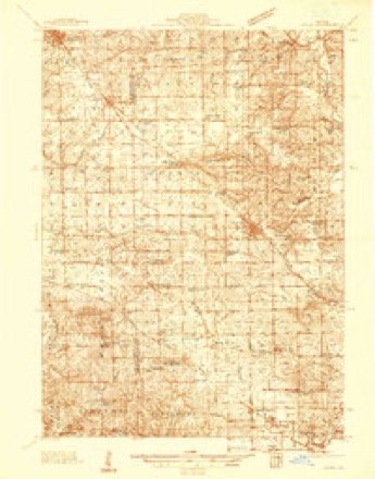
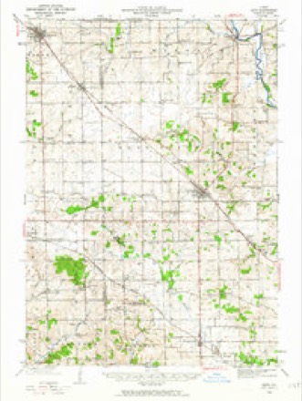
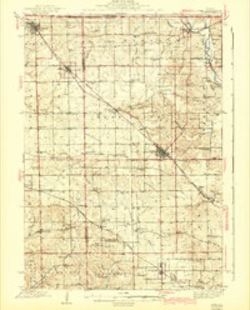
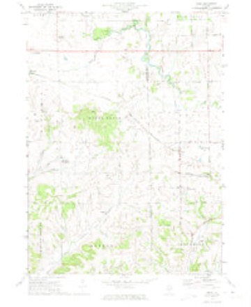
14 topographic sheets cover this place, the earliest surveyed in 1937 and the latest in 1981. It stands in Wards Grove Township. It lies in ZIP code area 61085. The Survey maps it on the Kent quadrangle.
Topographic sheets covering this place
9 surveys from 14 printed sheetsMatched by testing this settlement's coordinate against the published boundary of every sheet in the United States Geological Survey's historical collection. Each opens the scanned sheet at the Survey.
- 1937 USGS Lena quadrangle1:48000
- 1942 USGS Lena quadrangle1:62500
- 1943 USGS Lena quadrangle1:62500, 2 printings
- 1954 USGS Rockford quadrangle1:250000
- 1955 USGS Rockford quadrangle1:250000
- 1958 USGS Rockford quadrangle1:250000, 4 printings
- 1963 USGS Rockford quadrangle1:250000
- 1971 USGS Kent quadrangle1:24000
- 1981 USGS Rockford quadrangle1:100000, 2 printings





In the county-history sources
3,396 words on this townshipThe History of Jo Daviess County, Illinois, Containing a History of the County, Its Cities, Towns, Etc., a Biographical Directory of Its Citizens, War Record of Its Volunteers in the Late Rebellion ... History of the Northwest, History of Illinois ... Constitution of the United States, published 1878 names this settlement in its chapter on Wards Grove Township. These are the passages that mention it, exactly as the scans read.
Among other early settlers were Asa Hutton (1838), whose infant son was the first person who died (1839) in the township; Dr. Bratton, the first physician ; Ezra Latham, who built a saw mill at the head-waters of Yellow Creek, in the northeastern part of the township, in 1839 ; George W. Flack, who came in April, 1837, and is now a resident of Iowa; John Flack, who came with his family in 1839, and died in 1842; Samuel, Charles and Miles Tyrrell, the former two of whom came in November, 1837, and the latter in November, 1838; Charles died in 1860; Samuel is still an influential citizen of Ward's Grove, while Miles is now living in Morseville, Stockton Township ; H. A. Perry, who came in June, 1839, and is now a farmer of Stockton ; Samuel Tyrrell, Sr., who came in October, 1841, with his family of four daughters and a son, of whom Mrs. Benjamin Parker, of Stockton, is the only daughter now residing in the county; Mr. Samuel Tyrrell, Sr., died in 1845; Hiram Tyrrell, who came in May, 1843, and now lives in Iowa. There are many other early settlers of the township, equally worthy of mention, many of whose biographies appear in another portion of this work.
Passage source: The History of Jo Daviess County, Illinois, Containing a History of the County, Its Cities, Towns, Etc., a Biographical Directory of Its Citizens, War Record of Its Volunteers in the Late Rebellion ... History of the Northwest, History of Illinois ... Constitution of the United States, published 1878.
Religious. - The first preaching in the township was by Rev. Fleeharty, a Methodist minister, who held occasional services in Hutton's cabin. He afterwards organized a class, and, after meeting for four years at Mr. Hutton's, the place of holding service was changed to Morseville, Stockton Township.
Passage source: The History of Jo Daviess County, Illinois, Containing a History of the County, Its Cities, Towns, Etc., a Biographical Directory of Its Citizens, War Record of Its Volunteers in the Late Rebellion ... History of the Northwest, History of Illinois ... Constitution of the United States, published 1878.
Machine-read from a century-old scan, so expect the errors a machine makes: misspelled names, dropped words, stray characters.
Fires near this place
1 since 2004Regional context, not property-specific evidence. The federal wildfire occurrence database lists 1 fire within 5 miles of Morseville in 2004, burning about 2 acres in total. None started naturally. None was recorded as arson. Distance is straight-line from the map coordinates, so a fire counted here may appear on a neighbouring settlement's page as well.
| Reported cause | Fires |
|---|---|
| Recreation and ceremony | 1 |
The most recent of them, most recent first, with the day each was reported and the service that recorded it.
| Date | Cause | Size | Reported by | Name on the report |
|---|---|---|---|---|
| 17 April 2004 | Recreation and ceremony | 2.0 acres | Illinois State Fire Marshal's Office | not named |
Settlements close enough to share some of these fires:
Mines and quarries near this place
4 within 5 milesRegional context, not property-specific evidence. The federal mineral resources record lists 4 workings within 5 miles of Morseville: 3 past producers, 1 producer. 1 still produces. What was taken out: Stone, Crushed/Broken, Limestone, General, Sand and Gravel, Construction. Distance is straight-line from the map coordinates, so a quarry counted here may appear on a neighbouring settlement's page as well.
| Where | Site | Commodity | Status | Recorded |
|---|---|---|---|---|
| A & K Thompson Pit | Sand and Gravel, Construction | Past Producer | ||
| Piierce Quarry | Limestone, General | Past Producer | ||
| Lena Pit | Stone, Crushed/Broken | Producer | ||
| Millershane Quarry | Stone, Crushed/Broken | Past Producer |
Nearest settlements
The eight closest, with where each one stands in the county. Distances are straight-line, computed from the Geographic Names Information System coordinates.
| Map | Place | Distance | Sheets |
|---|---|---|---|
| Willow | 2.5 miles | 14 | |
| East Stockton (historical) | 2.5 miles | 14 | |
| Stockton | 3.4 miles | 14 | |
| Pitcherville (historical) | 4.2 miles | 14 | |
| Elmoville | 4.5 miles | 14 | |
| Pleasant Valley | 6.1 miles | 21 | |
| Massbach | 8.6 miles | 21 | |
| Woodbine | 9.2 miles | 14 |
Provenance
This settlement is recorded in the Geographic Names Information System as feature 413859. The sheet list is computed by point-in-boundary test against the United States Geological Survey's historical topographic inventory. Both are works of the United States government and carry no copyright under 17 U.S.C. 105.
Wildfire. Short, Karen C. 2022. Spatial wildfire occurrence data for the United States, 1992-2020 [FPA_FOD_20221014]. 6th Edition. Fort Collins, CO: Forest Service Research Data Archive. https://doi.org/10.2737/RDS-2013-0009.6 Collected with United States Government funding and usable without additional permissions or fees.
Mines and quarries. USGS Mineral Resources Data System (MRDS) https://mrdata.usgs.gov/mrds/ A work of the United States government, no copyright under 17 U.S.C. 105.