 Block
Pleasant Valley, Illinois
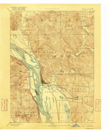
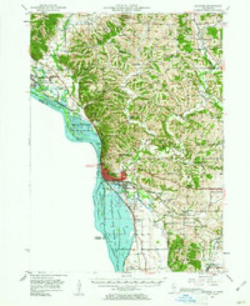
21 topographic sheets cover this place, the earliest surveyed in 1892 and the latest in 1985. It stands in Pleasant Valley Township. It lies in ZIP code area 61053. It stands on Muddy Plum River. The Survey maps it on the Pleasant Valley quadrangle.
Topographic sheets covering this place
8 surveys from 21 printed sheetsMatched by testing this settlement's coordinate against the published boundary of every sheet in the United States Geological Survey's historical collection. Each opens the scanned sheet at the Survey.
- 1892 USGS Savanna quadrangle1:62500, 8 printings
- 1952 USGS Savanna quadrangle1:62500, 3 printings
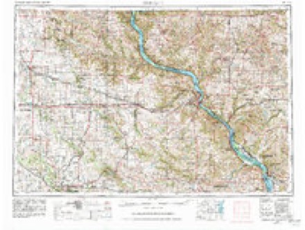
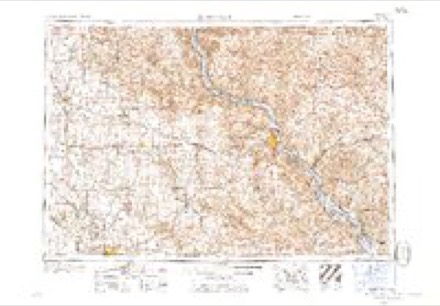
- 1959 USGS Dubuque quadrangle1:250000
- 1961 USGS Dubuque quadrangle1:250000
- 1962 USGS Dubuque quadrangle1:250000, 2 printings
- 1976 USGS Dubuque quadrangle1:250000
- 1984 USGS Dubuque South quadrangle1:100000, 4 printings
- 1985 USGS Pleasant Valley quadrangle1:24000
In the county-history sources
3,180 words on this townshipThe History of Jo Daviess County, Illinois, Containing a History of the County, Its Cities, Towns, Etc., a Biographical Directory of Its Citizens, War Record of Its Volunteers in the Late Rebellion ... History of the Northwest, History of Illinois ... Constitution of the United States, published 1878 names this settlement in its chapter on Pleasant Valley Township. These are the passages that mention it, exactly as the scans read.
Alexander S. Smith, who with his family, consisting of Alexander, Jr., Mary and Ellen, came to Galena in 1824, on the steamer " Eclipse." The daughter, Mary, married John Love, and died at Galena in 1827. In 1828, Mr. Mitchell went to New Orleans. In the following year, Colonel James Mitchell, a brother of Alexander, who came to Galena in 1826 and had been living one and a half miles north of there, moved down on the Galena and Dixon road, in the rightly-named Pleasant Valley. His house, which was removed from the road several rods, was burned during the Black Hawk War, and its location has received the name of the " old camp." Alexander, Jr., and Ellen Mitchell went down to live with their uncle, but Alexander soon (1829) went South, where he remained until 1846. -
Passage source: The History of Jo Daviess County, Illinois, Containing a History of the County, Its Cities, Towns, Etc., a Biographical Directory of Its Citizens, War Record of Its Volunteers in the Late Rebellion ... History of the Northwest, History of Illinois ... Constitution of the United States, published 1878.
In 1834, Thomas and John Deeds, two brothers, settled on a claim which is still owned by their descendants; they were young men, and were somewhat transient in their location. They took up several claims in Berreman and Pleasant Valley Townships, on which they built cabins, broke a few acres of ground and then sold to others. Their father, Jacob Deeds, with his family, came to Pleasant Valley in 1837. They kept the first post-office and a stage station on the Galena and Dixon route.
Passage source: The History of Jo Daviess County, Illinois, Containing a History of the County, Its Cities, Towns, Etc., a Biographical Directory of Its Citizens, War Record of Its Volunteers in the Late Rebellion ... History of the Northwest, History of Illinois ... Constitution of the United States, published 1878.
About the same time, Mr. Kellogg and Mr. Williams settled in Pleasant Valley, and in 1835, also, James Venable. These men became permanent settlers. Mr. Kellogg went to California at the time of the gold fever, in 1849, but Mr. Williams remained until the time of his death. Thomas Deeds and James Venable married daughters of Mr. Williams. Mrs. Deeds is still living in the township.
Passage source: The History of Jo Daviess County, Illinois, Containing a History of the County, Its Cities, Towns, Etc., a Biographical Directory of Its Citizens, War Record of Its Volunteers in the Late Rebellion ... History of the Northwest, History of Illinois ... Constitution of the United States, published 1878.
Machine-read from a century-old scan, so expect the errors a machine makes: misspelled names, dropped words, stray characters.
Read the whole chapter on Pleasant Valley Township - it names this place 18 more 18 times.
Mines and quarries near this place
3 within 5 milesRegional context, not property-specific evidence. The federal mineral resources record lists 3 workings within 5 miles of Pleasant Valley: 3 past producers. None of them still produces. What was taken out: Stone, Crushed/Broken. Distance is straight-line from the map coordinates, so a quarry counted here may appear on a neighbouring settlement's page as well.
| Where | Site | Commodity | Status | Recorded |
|---|---|---|---|---|
| Dixon Pit | Stone, Crushed/Broken | Past Producer | ||
| Goodmiller Quarry & Portable Mill | Stone, Crushed/Broken | Past Producer | ||
| Ries Quarry | Stone, Crushed/Broken | Past Producer |
Nearest settlements
The eight closest, with where each one stands in the county. Distances are straight-line, computed from the Geographic Names Information System coordinates.
| Map | Place | Distance | Sheets |
|---|---|---|---|
| Elmoville | 2.9 miles | 14 | |
| Massbach | 5.2 miles | 21 | |
| Willow | 5.5 miles | 14 | |
| Morseville | 6.1 miles | 14 | |
| Derinda Center | 8.1 miles | 14 | |
| East Stockton (historical) | 8.4 miles | 14 | |
| Stockton | 8.6 miles | 14 | |
| Pitcherville (historical) | 9.7 miles | 14 |
Elsewhere
Matched on this settlement's Geographic Names Information System number rather than its name, so it cannot be a different place of the same name in another state.
| Wikipedia article on Pleasant Valley | An encyclopaedic summary. Its text is share-alike, so it is linked here rather than copied. |
| Wikidata item Q60760183 | The structured record the population and elevation above come from. Public domain (CC0). |
Provenance
This settlement is recorded in the Geographic Names Information System as feature 423072. The sheet list is computed by point-in-boundary test against the United States Geological Survey's historical topographic inventory. Both are works of the United States government and carry no copyright under 17 U.S.C. 105.
Mines and quarries. USGS Mineral Resources Data System (MRDS) https://mrdata.usgs.gov/mrds/ A work of the United States government, no copyright under 17 U.S.C. 105.