 Block
Sands, Illinois
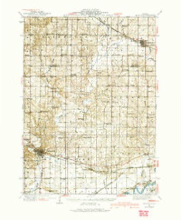
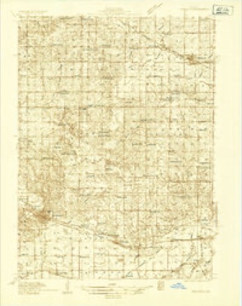
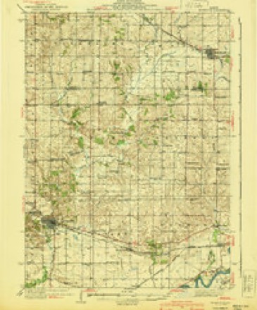
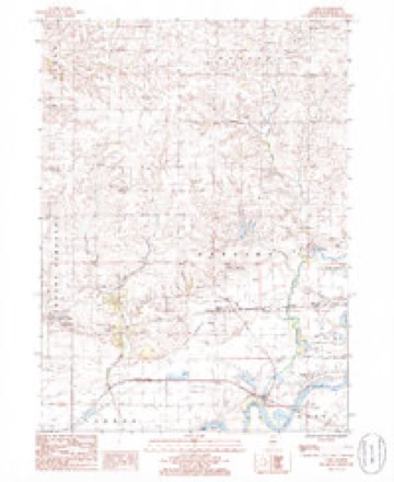
11 topographic sheets cover this place, the earliest surveyed in 1934 and the latest in 1985. It stands in Lyndon Township. It lies in ZIP code area 61261. It stands on Deer Creek. The Survey maps it on the Como quadrangle.
Topographic sheets covering this place
7 surveys from 11 printed sheetsMatched by testing this settlement's coordinate against the published boundary of every sheet in the United States Geological Survey's historical collection. Each opens the scanned sheet at the Survey.
- 1934 USGS Morrison quadrangle1:62500
- 1934 USGS Morrison quadrangle1:48000
- 1940 USGS Morrison quadrangle1:62500, 2 printings
- 1958 USGS Aurora quadrangle1:250000, 3 printings
- 1961 USGS Aurora quadrangle1:250000
- 1985 USGS Como quadrangle1:24000
- 1985 USGS Dixon quadrangle1:100000, 2 printings



In the county-history sources
44,484 words on this townshipHistory of Whiteside County, Illinois, from Its First Settlement to the Present Time;, published 1877 names this settlement in its chapter on Lyndon Township. These are the passages that mention it, exactly as the scans read.
Kev. Wm. W. Blanchard became pastor, and remained until 1850. He was succeeded by Rev. Mr. Ward, who remained only a short time, when Rev. A. Chapman was called to the pastorate, and remained five years. Rev. H. Judd came next, and continued in charge until the fall of 1862. Rev. W. D. Webb was next called, and continued his labors for five years, and was succeeded by Rev. Simon Gilbert, who labored for a term of two years. Rev. John Gray followed with another two years term. Rev. Charles Machin is the present pastor. Adam R. Hamilton was chosen the first deacon of the church, and so continued until his death. The only associate Deacon Hamilton had in this office during his life, was Daniel F. Millikan, who was chosen in July, 1840. After Deacon Hamilton's death, Martin Conyne was chosen in his place. In February, 1877, Alexis Hubbard was chosen third deacon, making the present deacons of the church, Daniel F. Millikan, Martin Conyne, and Alexis Hubbard. John Roy was appointed the first clerk of the church, and continued in that office for a quarter of a century. He was succeeded by Alexis Hubbard, the present clerk. The present trustees of the church are. Draper Richmond, Jerome Sands, and Edward Lancaster. The present membership of the church is eighty-six.
Passage source: History of Whiteside County, Illinois, from Its First Settlement to the Present Time;, published 1877.
The Methodist Episcopal Church and Society of Lyndon was organized by Revs. W. Buck ai^d G. L. S. Stuff in 1841, the first members being Chauncey G. Woodruff and Leonora Hazard. Soon afterwards the following persons united with the church : Dr. Augustiu Smith, Lucy Smith, Lucy Ann Ware, J. D. Odell, Samantha Reynolds and Harry R. Smith. Lyndon was at first a remote part of the Savanna circuit, and then became attached to the Union Grove circuit. Preaching was first held at the Chambers' store building, and afterwards at the residence of Mr. Atkinson, until the Town Hall was built, when services were conducted in that building. One of the most successful revivals experienced by the church took place in the winter of 1859-'60, when about one hundred persons were converted and united with the church. It then formed a part of the Union Grove circuit, and was under the pastoral charge of Rev. A. Cross. In 1874 a church edifice was erected at a cost of $2,500. It is sixty feet in length and forty feet in width, and is a very neat and commodious structure. The church has now one hundred and three members in full communion, and fifty on probation. Rev. J. Wardle is the present pastor. The Sunday-school connected with the church has a membership of one hundred and seventy. Mr. P. M. Jewell is the Superintendent, and is assisted by twelve teachers.
Passage source: History of Whiteside County, Illinois, from Its First Settlement to the Present Time;, published 1877.
Machine-read from a century-old scan, so expect the errors a machine makes: misspelled names, dropped words, stray characters.
Read the whole chapter on Lyndon Township - it names this place 1 more 1 time.
Mines and quarries near this place
1 within 5 milesRegional context, not property-specific evidence. The federal mineral resources record lists 1 working within 5 miles of Sands: 1 past producer. None of them still produces. What was taken out: Sand and Gravel, Construction. Distance is straight-line from the map coordinates, so a quarry counted here may appear on a neighbouring settlement's page as well.
| Where | Site | Commodity | Status | Recorded |
|---|---|---|---|---|
| Lynden Pit | Sand and Gravel, Construction | Past Producer |
Nearest settlements
The eight closest, with where each one stands in the county. Distances are straight-line, computed from the Geographic Names Information System coordinates.
| Map | Place | Distance | Sheets |
|---|---|---|---|
| Round Grove | 2.4 miles | 11 | |
| Valley Vista Estates | 3.2 miles | 11 | |
| Agnew | 4.1 miles | 11 | |
| Lyndon | 4.1 miles | 11 | |
| Como | 5.1 miles | 11 | |
| Galt | 5.9 miles | 11 | |
| Hamilton Corners | 6.3 miles | 11 | |
| Emerson | 6.4 miles | 11 |
Provenance
This settlement is recorded in the Geographic Names Information System as feature 423152. The sheet list is computed by point-in-boundary test against the United States Geological Survey's historical topographic inventory. Both are works of the United States government and carry no copyright under 17 U.S.C. 105.
Mines and quarries. USGS Mineral Resources Data System (MRDS) https://mrdata.usgs.gov/mrds/ A work of the United States government, no copyright under 17 U.S.C. 105.