 Block
Round Grove, Illinois
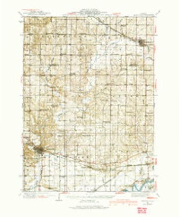
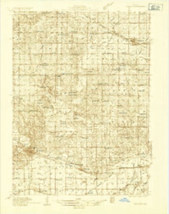
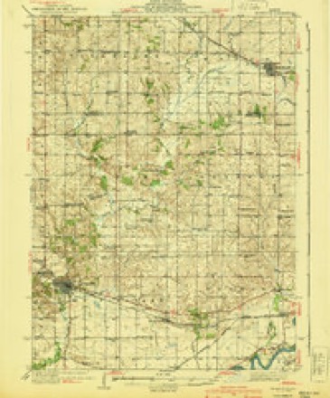
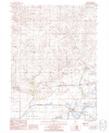
11 topographic sheets cover this place, the earliest surveyed in 1934 and the latest in 1985. It stands in Mount Pleasant Township. It lies in ZIP code area 61270. The Survey maps it on the Como quadrangle. It stands 679 feet above sea level.
Topographic sheets covering this place
7 surveys from 11 printed sheetsMatched by testing this settlement's coordinate against the published boundary of every sheet in the United States Geological Survey's historical collection. Each opens the scanned sheet at the Survey.
- 1934 USGS Morrison quadrangle1:62500
- 1934 USGS Morrison quadrangle1:48000
- 1940 USGS Morrison quadrangle1:62500, 2 printings
- 1958 USGS Aurora quadrangle1:250000, 3 printings
- 1961 USGS Aurora quadrangle1:250000
- 1985 USGS Como quadrangle1:24000
- 1985 USGS Dixon quadrangle1:100000, 2 printings



In the county-history sources
16,049 words on this townshipPortrait and Biographical Album of Whiteside County, Illinois : Containing Full-page Portraits and Biographies of All the Governors of Illinois, and of the Presidents of the United States, published 1885; History of Whiteside County, Illinois from Its Earliest Settlement to 1908 : Illustrated, with Biographical Sketches of Some Prominent Citizens of the County, published 1908 names this settlement in its chapter on Mount Pleasant Township. These are the passages that mention it, exactly as the scans read.
Jonathan Haines put up a saw-mill on Rock Creek, about a mile and a half above Unionville. He had only cut a few feet of lumber when a freshet came and took his mill down stream. It was hauled back and set up again, but not in time to cut any lumber that season. In the spring of 1837 it was again started, and with better success. During this season two stones were put in for grinding corn and wheat. This mill site was in what was afterward called
Passage source: Portrait and Biographical Album of Whiteside County, Illinois : Containing Full-page Portraits and Biographies of All the Governors of Illinois, and of the Presidents of the United States, published 1885.
Col. E. Seely for 25 years president of the Old Settler's Association, was master of ceremonies, and at one in the afternoon, the exercises opened with prayer by Rev. A. M. Early, who settled at Erie in 1843. He thanked the Lord for the joy of the hour, and for the privilege of living amid scenes so captivating. Prof. M. R. Kelly was the orator of the day. He congratulated the early settlers on the erection of this venerable cabin as a fitting monument of their honorable history. "Here you came, as New Englanders, New Yorkers, Pennsylvanians, Virginians, as Englishmen, Irishmen, Scotchman, Germans, and in friendly relationship you made your claims, built your log cabins, and ever since have dwelt in harmony. Your wise management of public affairs has made the reputation of old Whiteside second to no other county in the state. Look at your palatial dwellings, fine schools, well tilled farms, all the conveniences of civilization, and then think of the time when you lived in cabins, when your courts and worship were held in private houses, when you broke prairie, and went supperless to bed, when you go your potatoes from Rock Island, and you meal from Henderson's Grove, when you paid 25 cents postage on a letter, when you shook with the ague, when you swapped provisions with the Indians, when you made coffee from toasted bread, when whole families slept in the same room partitioned off with sheets and shawls."
Passage source: History of Whiteside County, Illinois from Its Earliest Settlement to 1908 : Illustrated, with Biographical Sketches of Some Prominent Citizens of the County, published 1908.
This was incorparated May 18, 1903. The capital stock is $20,000, divided into eight hundred shares paid up, with a par value of twenty-five dollars each. The object of the company is to build and maintain telephone lines or exchanges or both in Whiteside and adjoining counties, state of Illinois, with such extensions or connections with other telephone lines as may hereafter be decided, and to furnish telephone communications over its lines at a minimum cost to its stockholders.
Passage source: History of Whiteside County, Illinois from Its Earliest Settlement to 1908 : Illustrated, with Biographical Sketches of Some Prominent Citizens of the County, published 1908.
Machine-read from a century-old scan, so expect the errors a machine makes: misspelled names, dropped words, stray characters.
Read the whole chapter on Mount Pleasant Township - it names this place 1 more 1 time.
Mines and quarries near this place
1 within 5 milesRegional context, not property-specific evidence. The federal mineral resources record lists 1 working within 5 miles of Round Grove: 1 past producer. None of them still produces. What was taken out: Sand and Gravel, Construction. Distance is straight-line from the map coordinates, so a quarry counted here may appear on a neighbouring settlement's page as well.
| Where | Site | Commodity | Status | Recorded |
|---|---|---|---|---|
| Lynden Pit | Sand and Gravel, Construction | Past Producer |
Storms near this place
5 since 2000Regional context, not property-specific evidence. The National Weather Service names Round Grove in 5 storm reports between 2000 and 2020: 2 thunderstorm wind, 1 hail, 1 funnel cloud, 1 tornado. No death or injury is recorded in these reports. Each account below is quoted exactly as the forecast office filed it, from the NOAA Storm Events Database, and each date opens the federal record of that event.
| When | Event | Place named | Harm | What the report says |
|---|---|---|---|---|
| November 2020 | Tornado (EF1) | Round Grove | - | Brief EF1 tornado touchdown with max winds at 100 mph, a path length of 3.5 miles, and a max path width 100 yards. This tornado touched down northeast of Lyndon, leading to sporadic tree damage, including a few snapped trees, and severe damage to the roof of a large hog building. |
| August 2018 | Funnel Cloud | Round Grove | - | Law Enforcement reported a funnel cloud. |
| June 2017 | Thunderstorm Wind | Round Grove | - | Several fruit trees were uprooted on a farm just north of the Bunker Hill Road and Yager Road intersection. Power poles were also damaged in the area. The report was received through social media. |
| June 2007 | Thunderstorm Wind | Round Grove | - | A roof of a house at the intersection of Round Grove and Hazel Roads (3 miles east of Morrison) was damaged by wind estimated at 65 mph. |
| August 2000 | Hail | Round Grove | - | no account filed |
Nearest settlements
The eight closest, with where each one stands in the county. Distances are straight-line, computed from the Geographic Names Information System coordinates.
Elsewhere
Matched on this settlement's Geographic Names Information System number rather than its name, so it cannot be a different place of the same name in another state.
| Wikipedia article on Round Grove | An encyclopaedic summary. Its text is share-alike, so it is linked here rather than copied. |
| Wikidata item Q20710930 | The structured record the population and elevation above come from. Public domain (CC0). |
Provenance
This settlement is recorded in the Geographic Names Information System as feature 416982. The sheet list is computed by point-in-boundary test against the United States Geological Survey's historical topographic inventory. Both are works of the United States government and carry no copyright under 17 U.S.C. 105.
Mines and quarries. USGS Mineral Resources Data System (MRDS) https://mrdata.usgs.gov/mrds/ A work of the United States government, no copyright under 17 U.S.C. 105.
Storms. NOAA National Centers for Environmental Information, Storm Events Database https://www.ncei.noaa.gov/stormevents/ A work of the United States government, no copyright under 17 U.S.C. 105. Narratives are quoted verbatim from the National Weather Service report and are not edited or summarised.