 Block
Shirland, Illinois
17 topographic sheets cover this place, the earliest surveyed in 1918 and the latest in 1981. It stands in Shirland Township. It lies in ZIP code area 61079. It stands on Sugar River. The Survey maps it on the Shirland quadrangle. It stands 735 feet above sea level.
Topographic sheets covering this place
8 surveys from 17 printed sheetsMatched by testing this settlement's coordinate against the published boundary of every sheet in the United States Geological Survey's historical collection. Each opens the scanned sheet at the Survey.
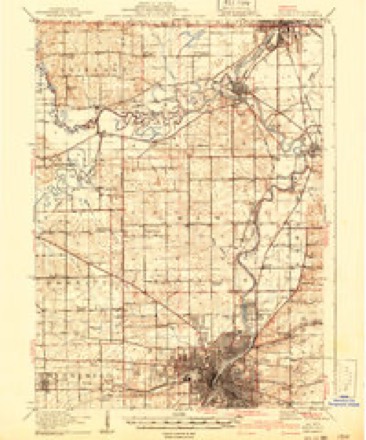
- 1918 USGS Rockford quadrangle1:62500, 3 printings
- 1938 USGS Rockford quadrangle1:62500, 3 printings
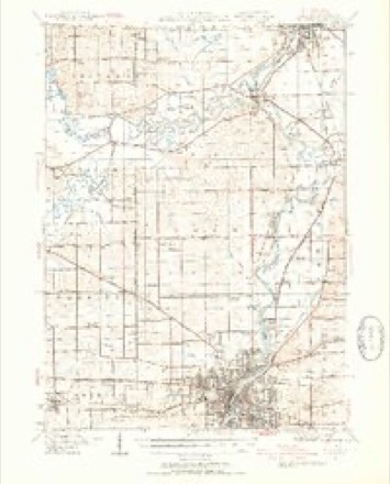
- 1954 USGS Rockford quadrangle1:250000
- 1955 USGS Rockford quadrangle1:250000
- 1958 USGS Rockford quadrangle1:250000, 4 printings
- 1963 USGS Rockford quadrangle1:250000
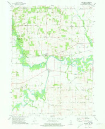
- 1971 USGS Shirland quadrangle1:24000, 2 printings
- 1981 USGS Rockford quadrangle1:100000, 2 printings





In the county-history sources
3,954 words on this townshipThe History of Winnebago County, Illinois : Its Past and Present, Containing ... a Biographical Directory of Its Citizens, War Record of Its Volunteers in the Late Rebellion, General and Local Statistics ... History of the Northwest, History of Illinois ... Etc, published 1877 names this settlement in its chapter on Shirland Township. These are the passages that mention it, exactly as the scans read.
Among the early settlers of Shirland may be mentioned Geo. Seaton and Lemuel Fisk, who came in 1837. When the Western Union railroad came through, a little town sprang up about the station, which now has a few houses, and three or four stores, and shops.
Passage source: The History of Winnebago County, Illinois : Its Past and Present, Containing ... a Biographical Directory of Its Citizens, War Record of Its Volunteers in the Late Rebellion, General and Local Statistics ... History of the Northwest, History of Illinois ... Etc, published 1877.
BEJHEX"T JOHN, Farmer; Sec. 4; P. O. Shirland; born in Oneida Co., N. Y., March 1, 1803 ; came to this Co. in 1852 ; has been Town Clerk three years ; married Miss Roxie Williams, in N. Y., in 18G8; she was born in N. Y., in March, 1830; have nine children living; Mr. Bement owns 140 acres land, which is well improved.
Passage source: The History of Winnebago County, Illinois : Its Past and Present, Containing ... a Biographical Directory of Its Citizens, War Record of Its Volunteers in the Late Rebellion, General and Local Statistics ... History of the Northwest, History of Illinois ... Etc, published 1877.
BO^iWELL THOMAS H. Merchant; Shirland; was born in Pottsdam, St. Lawrence Co., N. Y., Sept. 26, 1835 ; came from there to Chicago, in 1857; lived there two years; thence to this Co., in 1859; he has held various township offices; has been P. M. here last nine years; has also been express agent here a number of years; married Sarah D. Coon, in Pottsdam, St. Lawrence Co., N. Y., March 22, 1859 ; she was born in Westfield, Vermont; have four children: Lydia P., born March 8, 1862; Charles T., Sept
Passage source: The History of Winnebago County, Illinois : Its Past and Present, Containing ... a Biographical Directory of Its Citizens, War Record of Its Volunteers in the Late Rebellion, General and Local Statistics ... History of the Northwest, History of Illinois ... Etc, published 1877.
Machine-read from a century-old scan, so expect the errors a machine makes: misspelled names, dropped words, stray characters.
Read the whole chapter on Shirland Township - it names this place 27 more 27 times.
Fires near this place
3 since 2018Regional context, not property-specific evidence. The federal wildfire occurrence database lists 3 fires within 5 miles of Shirland in 2018, burning about 1 acre in total. None started naturally. None was recorded as arson. Distance is straight-line from the map coordinates, so a fire counted here may appear on a neighbouring settlement's page as well.
| Reported cause | Fires |
|---|---|
| Missing data/not specified/undetermined | 3 |
The most recent of them, most recent first, with the day each was reported and the service that recorded it.
| Date | Cause | Size | Reported by | Name on the report |
|---|---|---|---|---|
| 29 April 2018 | Missing data/not specified/undetermined | under an acre | Wisconsin Department of Natural Resources | 79 |
| 26 March 2018 | Missing data/not specified/undetermined | under an acre | Illinois Division of Forestry Resources | 18-0274 |
| 13 March 2018 | Missing data/not specified/undetermined | 1.0 acres | Illinois Division of Forestry Resources | 18-0230 |
Settlements close enough to share some of these fires:
Mines and quarries near this place
5 within 5 milesRegional context, not property-specific evidence. The federal mineral resources record lists 5 workings within 5 miles of Shirland: 5 past producers. None of them still produces. What was taken out: Stone, Crushed/Broken. Distance is straight-line from the map coordinates, so a quarry counted here may appear on a neighbouring settlement's page as well.
| Where | Site | Commodity | Status | Recorded |
|---|---|---|---|---|
| Austin Quarry | Stone, Crushed/Broken | Past Producer | ||
| E. Sharp Quarry | Stone, Crushed/Broken | Past Producer | ||
| Faulkner Quarry | Stone, Crushed/Broken | Past Producer | ||
| Unnamed Limestone Quarry | Stone, Crushed/Broken | Past Producer | ||
| Unnamed Limestone Quarry | Stone, Crushed/Broken | Past Producer |
Storms near this place
8 since 2003Regional context, not property-specific evidence. The National Weather Service names Shirland in 8 storm reports between 2003 and 2024: 6 thunderstorm wind, 1 tornado, 1 hail. No death or injury is recorded in these reports. Each account below is quoted exactly as the forecast office filed it, from the NOAA Storm Events Database, and each date opens the federal record of that event.
| When | Event | Place named | Harm | What the report says |
|---|---|---|---|---|
| May 2024 | Thunderstorm Wind | Shirland | - | Power lines were blown down. |
| July 2022 | Thunderstorm Wind | Shirland | - | A dead tree was snapped and blocking a roadway near Shirland and Moody Roads. |
| July 2021 | Thunderstorm Wind | Shirland | - | Several large tree limbs and a couple of trees were blown down along Yale Bridge Road. |
| September 2021 | Thunderstorm Wind | Shirland | - | A photo shared on social media showed a tree blown down. |
| July 2012 | Thunderstorm Wind | Shirland | - | A large tree limb was blown down on Highway 75 about 4 miles east of Durand. |
| July 2006 | Thunderstorm Wind | Shirland | - | Tree damage reported in Shirland. |
| May 2003 | Tornado (F0) | Shirland | - | A tornado dissipated near the Sugar River just north of the state line in Rock County, Wisconsin. The parent thunderstorm produced another brief tornado in far northern Winnebago county. A spotter observed the tornado north of Shirland but there was no damage. |
| June 2004 | Hail | Shirland | - | no account filed |
Nearest settlements
The eight closest, with where each one stands in the county. Distances are straight-line, computed from the Geographic Names Information System coordinates.
| Map | Place | Distance | Sheets |
|---|---|---|---|
| Harrison | 1.2 miles | 17 | |
| Rockton | 6.7 miles | 19 | |
| Owen Center | 6.8 miles | 20 | |
| Wempletown | 7.0 miles | 18 | |
| Durand | 7.1 miles | 15 | |
| Northgate Estates | 7.9 miles | 19 | |
| South Bluff Homes | 8.1 miles | 19 | |
| Hutchins Park | 8.3 miles | 19 |
Elsewhere
Matched on this settlement's Geographic Names Information System number rather than its name, so it cannot be a different place of the same name in another state.
| Wikipedia article on Shirland | An encyclopaedic summary. Its text is share-alike, so it is linked here rather than copied. |
| Wikidata item Q7498646 | The structured record the population and elevation above come from. Public domain (CC0). |
Provenance
This settlement is recorded in the Geographic Names Information System as feature 418435. The sheet list is computed by point-in-boundary test against the United States Geological Survey's historical topographic inventory. Both are works of the United States government and carry no copyright under 17 U.S.C. 105.
Wildfire. Short, Karen C. 2022. Spatial wildfire occurrence data for the United States, 1992-2020 [FPA_FOD_20221014]. 6th Edition. Fort Collins, CO: Forest Service Research Data Archive. https://doi.org/10.2737/RDS-2013-0009.6 Collected with United States Government funding and usable without additional permissions or fees.
Mines and quarries. USGS Mineral Resources Data System (MRDS) https://mrdata.usgs.gov/mrds/ A work of the United States government, no copyright under 17 U.S.C. 105.
Storms. NOAA National Centers for Environmental Information, Storm Events Database https://www.ncei.noaa.gov/stormevents/ A work of the United States government, no copyright under 17 U.S.C. 105. Narratives are quoted verbatim from the National Weather Service report and are not edited or summarised.