 Block
Yorktown, Illinois
11 topographic sheets cover this place, the earliest surveyed in 1932 and the latest in 1985. It stands in Fairfield Township. It lies in ZIP code area 61283. The Survey maps it on the Yorktown quadrangle. It stands 640 feet above sea level.
Topographic sheets covering this place
6 surveys from 11 printed sheetsMatched by testing this settlement's coordinate against the published boundary of every sheet in the United States Geological Survey's historical collection. Each opens the scanned sheet at the Survey.
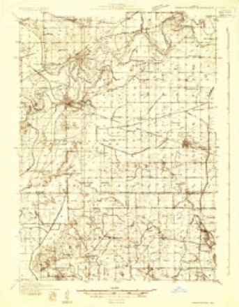
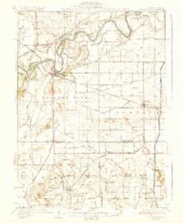
- 1932 USGS Prophetstown quadrangle1:48000
- 1936 USGS Prophetstown quadrangle1:62500, 3 printings
- 1958 USGS Aurora quadrangle1:250000, 3 printings
- 1961 USGS Aurora quadrangle1:250000
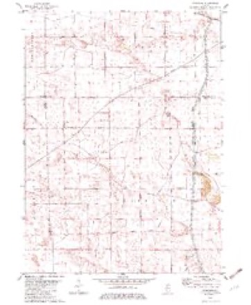
- 1982 USGS Yorktown quadrangle1:24000
- 1985 USGS Dixon quadrangle1:100000, 2 printings



In the county-history sources
595 words on this townshipPast and Present of Bureau County, Illinois, published 1906 names this settlement in its chapter on Fairfield Township. These are the passages that mention it, exactly as the scans read.
Fairfield township is in the northwest corner of Bureau county, and was not settled until about 1838. At "that time Francis Adams and James D. Binghain made claims on sections 23 and 24. Samuel Brady settled on section 14 in 1839 and was the oldest settler when the swamp land was surveyed in 1852. In 1840 William Adams settled on section 12 ; in 1842 Jacob Sells, Elijah Olmstead, Daniel Davis and Lewis H. Burroughs made a beginning here. The village of Yorktown was started in 1846 on section 6 ; the men who were interested in the enterprise were W. and S. Dow, R. H. and S. W. Sheldon and the McKinzies. Among the first settlers were M. A. Myers, H. Hays, D. Baity, W. H. Chase, Alden Booth and Henry Thackaberry. Much of the land in this township has been reclaimed by a system of ditches and at the present time further improvements in the drainage line is being perfected. The feeder to the Hennepin canal passes through the township, entering on the northeast corner of section 2 and goes out at the southwest corner of section 36. Yorktown Corners has had for many years one and two stores, blacksmith shop and postoffice: the land in this vicinity is of the finest (|uality. The population by the census of 1900 numbered 921. The supervisors of this township have served as follows :
Passage source: Past and Present of Bureau County, Illinois, published 1906.
Machine-read from a century-old scan, so expect the errors a machine makes: misspelled names, dropped words, stray characters.
Storms near this place
8 since 2011Regional context, not property-specific evidence. The National Weather Service names Yorktown in 8 storm reports between 2011 and 2025: 3 thunderstorm wind, 2 hail, 2 tornado, 1 flood. No death or injury is recorded in these reports. Each account below is quoted exactly as the forecast office filed it, from the NOAA Storm Events Database, and each date opens the federal record of that event.
| When | Event | Place named | Harm | What the report says |
|---|---|---|---|---|
| May 2011 | Thunderstorm Wind | Yorktown | $100,000 | Wind gusts estimated to be 70 mph flattened a pole barn, damaged some grain bins, blew a tree down, and moved an irrigator at a farm just north of Yorktown, IL at 1118 am CDT May 29. |
| April 2025 | Tornado (EF1) | Yorktown | $8,000 | One power pole was snapped at the beginning of the path of an EF-1 tornado with peak estimate wind speed of 100 MPH. Three other power poles were replaced as well. This tornado then tracked north and led to tree damage just across county border into Whiteside County. |
| May 2025 | Hail | Yorktown | - | A trained spotter reported 2.00 inch hailstones caused damage to the house siding and windows, as well as cracking a vehicle wind shield. The time oft the event was estimated using radar. |
| May 2023 | Tornado (EFU) | Yorktown | - | Broadcast media reported a brief Landspout (non-supercell) tornado about 3 miles east of Yorktown, IL or about 6 miles NW of New Bedford, IL. There was no observable damage to assign an EF-scale rating. |
| February 2019 | Flood | Yorktown | - | Emergency management reported that flooding occured in the vicinity of Prophetstown and Lyndon along the Rock River due to an ice jam. The flood waters and ice closed a|portion of Highway 78, or Bishop Road, for an extended period of time. |
| September 2018 | Thunderstorm Wind | Yorktown | - | A NWS storm survey team reported numerous large tree branches down in the unincorporated community of Yorktown. Winds were estimated to be 70 mph. |
| August 2011 | Hail | Yorktown | - | Mutliple reports of pennt to quarter sized hail. |
| August 2011 | Thunderstorm Wind | Yorktown | - | Six to 7 inch tree limbs were reported down. Time is estimated from radar. |
Nearest settlements
The eight closest, with where each one stands in the county. Distances are straight-line, computed from the Geographic Names Information System coordinates.
Elsewhere
Matched on this settlement's Geographic Names Information System number rather than its name, so it cannot be a different place of the same name in another state.
| Wikipedia article on Yorktown | An encyclopaedic summary. Its text is share-alike, so it is linked here rather than copied. |
| Wikidata item Q8055794 | The structured record the population and elevation above come from. Public domain (CC0). |
Provenance
This settlement is recorded in the Geographic Names Information System as feature 421587. The sheet list is computed by point-in-boundary test against the United States Geological Survey's historical topographic inventory. Both are works of the United States government and carry no copyright under 17 U.S.C. 105.
Storms. NOAA National Centers for Environmental Information, Storm Events Database https://www.ncei.noaa.gov/stormevents/ A work of the United States government, no copyright under 17 U.S.C. 105. Narratives are quoted verbatim from the National Weather Service report and are not edited or summarised.