 Block
Twin Grove, Illinois
13 topographic sheets cover this place, the earliest surveyed in 1949 and the latest in 1990. It stands in Dry Grove Township. It lies in ZIP code area 61705. The Survey maps it on the Bloomington West quadrangle. 1,524 people lived here at the 2020 count. It stands 820 feet above sea level.
Population over time
2 figuresTwin Grove fell from 1,564 to 1,524 between 2010 and 2020. These are the recorded population figures Wikidata holds for this place, reached through the Geographic Names Information System number this page is keyed on rather than by name, so they belong to this place and not to another of the same name. Most are census counts, but not all are: an early figure may be a founding or settlement estimate, and an estimate published within five years of a census is left out. The change column is computed, and is left blank where more than 20 years separate a figure from the one before it, because a gap that long is not a change between two counts.
| Year | People | Change |
|---|---|---|
| 2010 | 1,564 | |
| 2020 | 1,524 | -40 (-3%) |
Topographic sheets covering this place
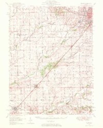
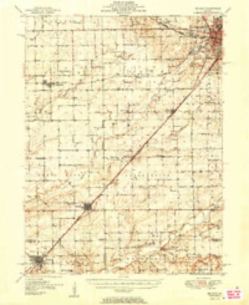
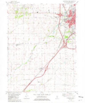
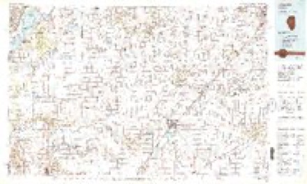
9 surveys from 13 printed sheetsMatched by testing this settlement's coordinate against the published boundary of every sheet in the United States Geological Survey's historical collection. Each opens the scanned sheet at the Survey.
- 1949 USGS Mc Lean quadrangle1:62500
- 1951 USGS McLean quadrangle1:62500, 2 printings
- 1958 USGS Peoria quadrangle1:250000, 4 printings
- 1961 USGS Peoria quadrangle1:250000
- 1963 USGS Peoria quadrangle1:250000
- 1981 USGS Bloomington West quadrangle1:24000
- 1985 USGS Lincoln quadrangle1:100000
- 1989 USGS Lincoln quadrangle1:100000
- 1990 USGS Peoria quadrangle1:250000




In the county-history sources
4,946 words on this townshipThe Good Old Times in McLean County, Illinois : Containing Two Hundred and Sixty-one Sketches of Old Settlers, a Complete Historical Sketch of the Black Hawk War and Descriptions of All Matters of Interest Relating to McLean County, published 1874 names this settlement in its chapter on Dry Grove Township. These are the passages that mention it, exactly as the scans read.
On the 10th of December, 1X24, Mr. Webb married Penina Hinshaw. They lived in Tennessee until they came to Illinois in 182t!. During that year he made a visit to Illinois with old George Hinshaw. They traveled in a little two-horse wagon over Central Illinois, and started for Chicago, but lost their way and could find nothing but Indians, who wore unable to direct them. They came down the Desplains River to where Ottawa now is, and there found three families. From this place they returned to Tennessee. In June, 1827, the families of Stephen Webb, "William McCord and George and Jacob Hinshaw, started for Illinois with teams. They had a pleasant journey until they reached the Ohio River. While there the wet season set in. and the streams were all overflowing. The travelers were frequently water-bound. They crossed the streams by taking their goods over in canoes and swimming; their horses across with the wagons. At the Sangamon River they determined to make a raft and were obliged to swim the stream and push their clothes across in washtubs. They made their raft and brought over their teams and wagons. When they arrived at Cheney's Grove, old George Hinshaw said he would go no farther, as he was sick of unpacking his goods at every little stream in order to get across. The Hinshaws remained there for a time, and Mr. Webb and Mr. Mc- Cord went on. They were water-bound for a while at Money Creek, but after crossing it they came to Twin Grove. Here they stopped, intending in the fall to go up to the Kankakee River, where Mr. Webb had made a claim during the previous year. But in the fall many rumors came concerning; the difticulties with the Winnebago Indians in the mining; country around Galena, and Mr. Webb thought it hardly safe to go any farther north; so he made a claim at Twin Grove in the southwestern corner. When the land came into market he traded his improvement for eighty acres of entered land on the northwestern corner of the grove. During the third winter after their arrival, Mr. Webb, George Hinshaw and "William McCord started north to the Kankakee. They each furnished a horse which they hitched to Mr. Webb's wagon and started. When thev arrived near Ottawa, two of their horses strayed off during the night. Mr. Webb and Mr. Hinshaw went to hunt for them while Mr. McCord remained with the wagon. The two men followed the trail of the lost horses one day and slept in some brush at night. They had nothing to cat but an ear of corn. Mr. Hinshaw came near freezing to death, but was warmed by a fire which they succeeded in kindling. They came to the Mackinaw and found it waist deep with drift ice running. Thev waded it and came out on the prairie, and there they found a road which Mr. Webb recognized. But he was so confused by cold and the suffering they endured that he could not decide which end of the road led towards home. After traveling on the road some distance they came to some holes where Indians had formerly buried corn, and there Mr. Webb saw that they had been going the wrong way. Mr. Hinshaw suffered so much with cold that he said "Let's crawl into these holes and die." But Mr. Webb insisted on making another trial for life. They turned towards home and came to a creek, which was frozen over with ice too thin to bear them while walking; so they laid down and scratched and wriggled across. While Hinshaw was scratching and working himself over, the ice cracked under him, but he was suffering so severely that he was almost anxious to die, and said: "Let it break, let it break;" but he succeeded in dragging himself over. They went down to Lewis Soward's house, stayed there all night and went home. As soon as possible Mr. Webb took two horses and went to Ottawa and brought back McCord and the wagon. On their return, during one foggy day, their heads became " turned around," and they thought that north was south and east was west, and the first intimation they had of their mistake was finding themselves traveling back on their own track.
Passage source: The Good Old Times in McLean County, Illinois : Containing Two Hundred and Sixty-one Sketches of Old Settlers, a Complete Historical Sketch of the Black Hawk War and Descriptions of All Matters of Interest Relating to McLean County, published 1874.
George M. Hinshaw was only seven years of age when his parents came to the West in 1827. He was not much exposed to the terrible rain storms, hut remained in the covered wagon. He saw the hardships common to the early pioneers. In 1842 he joined the Christian Church. In 1848 he wTas chosen elder, and holds this office at the present time. The Twin Grove Christian Church is strong in numhers and spirit, and its members enjoy good religious feeling. In the spring of 1845, Mr. Hinshaw moved to the plaee where he now lives, just south of Dry Grove and west of Twin Grove. He lives in Dry Grove township, but belongs to the Twin Grove church, and his children attend the Twin Grove school.
Passage source: The Good Old Times in McLean County, Illinois : Containing Two Hundred and Sixty-one Sketches of Old Settlers, a Complete Historical Sketch of the Black Hawk War and Descriptions of All Matters of Interest Relating to McLean County, published 1874.
Mr. Hinshaw is six feet in height, is slim in build, lias rather a long faee, with tine regular features. His hair is partly gray, and is full on his head. He wears spectacles while reading. He is considerate with regard to other men's rights and feelings, and is absolutely honest in all things. His countenance wears the pleasant expression of honesty and content. He has been successful in his dealings, and is an1 example of the care of an overruling Providence.
Passage source: The Good Old Times in McLean County, Illinois : Containing Two Hundred and Sixty-one Sketches of Old Settlers, a Complete Historical Sketch of the Black Hawk War and Descriptions of All Matters of Interest Relating to McLean County, published 1874.
Machine-read from a century-old scan, so expect the errors a machine makes: misspelled names, dropped words, stray characters.
Read the whole chapter on Dry Grove Township - it names this place 7 more 7 times.
Fires near this place
1 since 2013Regional context, not property-specific evidence. The federal wildfire occurrence database lists 1 fire within 5 miles of Twin Grove in 2013, burning about 2 acres in total. None started naturally. None was recorded as arson. Distance is straight-line from the map coordinates, so a fire counted here may appear on a neighbouring settlement's page as well.
| Reported cause | Fires |
|---|---|
| Missing data/not specified/undetermined | 1 |
The most recent of them, most recent first, with the day each was reported and the service that recorded it.
| Date | Cause | Size | Reported by | Name on the report |
|---|---|---|---|---|
| 3 April 2013 | Missing data/not specified/undetermined | 2.0 acres | Illinois Division of Forestry Resources | TALASKI |
Settlements close enough to share some of these fires:
Mines and quarries near this place
5 within 5 milesRegional context, not property-specific evidence. The federal mineral resources record lists 5 workings within 5 miles of Twin Grove: 3 past producers, 1 plant, 1 producer. 2 still produce. What was taken out: Sand and Gravel, Construction, Stone. Distance is straight-line from the map coordinates, so a quarry counted here may appear on a neighbouring settlement's page as well.
| Where | Site | Commodity | Status | Recorded |
|---|---|---|---|---|
| Normal City Pit | Stone | Past Producer | ||
| Baugh Pit & Mill | Sand and Gravel, Construction | Plant | ||
| Market Street Pit | Sand and Gravel, Construction | Past Producer | ||
| Probasco Pit | Sand and Gravel, Construction | Past Producer | ||
| Rowe Pit No. 3 | Sand and Gravel, Construction | Producer |
Storms near this place
6 since 2000Regional context, not property-specific evidence. The National Weather Service names Twin Grove in 6 storm reports between 2000 and 2025: 4 hail, 1 tornado, 1 thunderstorm wind. No death or injury is recorded in these reports. Each account below is quoted exactly as the forecast office filed it, from the NOAA Storm Events Database, and each date opens the federal record of that event.
| When | Event | Place named | Harm | What the report says |
|---|---|---|---|---|
| August 2000 | Tornado (F1) | Twin Grove | $7,000 | Within a path of damaging winds, a tornado spun up 1.2 miles west southwest of Twin Grove. It destroyed a large section of a corn field, then crossed a county road destroying several mature trees and demolishing a small metal shed. The house on the property suffered only superficial damage to some trim. The tornado continued to the southeast to another homestead, destroying several more mature trees and some rail fencing. Sheet metal from the shed was found scattered about the second homestead. The house on this property was undamaged. The tornado then reached a densely forested area, where surface friction dissipated the vortex. No injuries were reported. |
| April 2023 | Thunderstorm Wind | Twin Grove | - | A power line from a stoplight was blown down. |
| May 2025 | Hail | Twin Grove | - | no account filed |
| May 2025 | Hail | Twin Grove | - | no account filed |
| May 2025 | Hail | Twin Grove | - | no account filed |
| August 2012 | Hail | Twin Grove | - | no account filed |
Nearest settlements
The eight closest, with where each one stands in the county. Distances are straight-line, computed from the Geographic Names Information System coordinates.
| Map | Place | Distance | Sheets |
|---|---|---|---|
| Bloomington Heights | 2.6 miles | 13 | |
| Yuton | 2.9 miles | 15 | |
| Covell | 3.8 miles | 13 | |
| Cardinal Court | 4.6 miles | 15 | |
| Bloomington | 4.6 miles | 14 | |
| Normal | 4.9 miles | 15 | |
| Danvers | 5.7 miles | 13 | |
| Shirley | 6.0 miles | 13 |
Elsewhere
Matched on this settlement's Geographic Names Information System number rather than its name, so it cannot be a different place of the same name in another state.
| Wikipedia article on Twin Grove | An encyclopaedic summary. Its text is share-alike, so it is linked here rather than copied. |
| Wikidata item Q7858172 | The structured record the population and elevation above come from. Public domain (CC0). |
Provenance
This settlement is recorded in the Geographic Names Information System as feature 423261. The sheet list is computed by point-in-boundary test against the United States Geological Survey's historical topographic inventory. Both are works of the United States government and carry no copyright under 17 U.S.C. 105.
Wildfire. Short, Karen C. 2022. Spatial wildfire occurrence data for the United States, 1992-2020 [FPA_FOD_20221014]. 6th Edition. Fort Collins, CO: Forest Service Research Data Archive. https://doi.org/10.2737/RDS-2013-0009.6 Collected with United States Government funding and usable without additional permissions or fees.
Mines and quarries. USGS Mineral Resources Data System (MRDS) https://mrdata.usgs.gov/mrds/ A work of the United States government, no copyright under 17 U.S.C. 105.
Storms. NOAA National Centers for Environmental Information, Storm Events Database https://www.ncei.noaa.gov/stormevents/ A work of the United States government, no copyright under 17 U.S.C. 105. Narratives are quoted verbatim from the National Weather Service report and are not edited or summarised.