 Block
America, Indiana
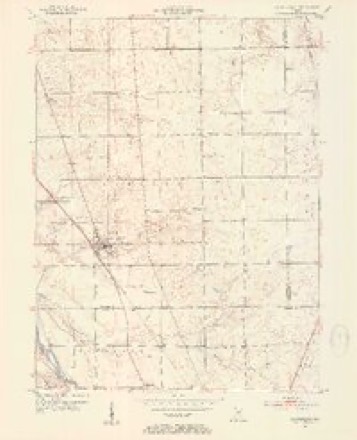
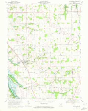
12 topographic sheets cover this place, the earliest surveyed in 1953 and the latest in 1986. It stands in Liberty Township. It lies in ZIP code area 46940. The Survey maps it on the La Fontaine quadrangle.
Topographic sheets covering this place
5 surveys from 12 printed sheetsMatched by testing this settlement's coordinate against the published boundary of every sheet in the United States Geological Survey's historical collection. Each opens the scanned sheet at the Survey.
- 1953 USGS La Fontaine quadrangle1:24000, 2 printings
- 1953 USGS Muncie quadrangle1:250000, 5 printings
- 1956 USGS Muncie quadrangle1:250000
- 1969 USGS La Fontaine quadrangle1:24000, 2 printings
- 1986 USGS Wabash quadrangle1:100000, 2 printings


In the county-history sources
6,695 words on this townshipHistory of Wabash County Indiana, published 1914 names this settlement in its chapter on Liberty Township. These are the passages that mention it, exactly as the scans read.
A large number of arrivals is credited to that year. Jesse D. Scott, Baptist minister and subsequently elected associate judge, came in 1835. He was one of quite a colony from Fayette County. He was then in his thirty-second year and had worked for about a year on the - canal. ^Ir. Scott took up land in section 23, near what was afterward the Town of America, and during the following twenty years was prominent as a i)reacher in the Baptist and Christian churches, as well as in material and public affairs. About 1841 he took a claim on the Indian Reserve west of La Fontaine and cleared and improved a farm there. i\Ir. Scott and his good wife raised a family of fourteen children, two of whom died as soldiers in the Union army. He himself passed away in 1864.
Passage source: History of Wabash County Indiana, published 1914.
In October, 1835, about a year after he had made his entry, William R. Hahi settled in fractional section 22, about a inile north of what was to be Ashland. He came in company with David Russell, already an old man, who had entered the east half of the southeast quarter of section 24, about two miles to the ea.st and beyond America. They were of the Fayette County colony. ]\Ir. Hale became a large land owner and a prominent member of the Disciples Church, being one of eight who formed the I^oundarv Line Church.
Passage source: History of Wabash County Indiana, published 1914.
Being on the direct route along which much of the grain trade of North-Central Indiana passed for years to the Wabash and Erie Canal, the proprietors and citizens of America had great expectations for the future of their town. And for more than two decades their hopes seemed. to be founded on solid ground. General stores, sawmills, blacksmith shops, hotels, wagon shops, groceries, drug stores, churches and schools, with the usual frills of lawyers and doctors and other professionals, gave America (juite a standing even before 1850.
Passage source: History of Wabash County Indiana, published 1914.
Machine-read from a century-old scan, so expect the errors a machine makes: misspelled names, dropped words, stray characters.
Read the whole chapter on Liberty Township - it names this place 11 more 11 times.
Mines and quarries near this place
2 within 5 milesRegional context, not property-specific evidence. The federal mineral resources record lists 2 workings within 5 miles of America: 2 past producers. None of them still produces. What was taken out: Sand and Gravel, Construction. Distance is straight-line from the map coordinates, so a quarry counted here may appear on a neighbouring settlement's page as well.
| Where | Site | Commodity | Status | Recorded |
|---|---|---|---|---|
| Jalapa Pit | Sand and Gravel, Construction | Past Producer | ||
| Mcginnis Sand and Gravel Pit | Sand and Gravel, Construction | Past Producer |
Nearest settlements
The eight closest, with where each one stands in the county. Distances are straight-line, computed from the Geographic Names Information System coordinates.
| Map | Place | Distance | Sheets |
|---|---|---|---|
| La Fontaine | 1.1 miles | 12 | |
| Treaty | 5.3 miles | 13 | |
| Lincolnville | 5.3 miles | 14 | |
| Mount Vernon | 6.5 miles | 13 | |
| Somerset | 6.7 miles | 13 | |
| College Corner | 9.8 miles | 14 | |
| South Haven | 9.9 miles | 13 | |
| Wabash | 10.3 miles | 13 |
Provenance
This settlement is recorded in the Geographic Names Information System as feature 448390. The sheet list is computed by point-in-boundary test against the United States Geological Survey's historical topographic inventory. Both are works of the United States government and carry no copyright under 17 U.S.C. 105.
Mines and quarries. USGS Mineral Resources Data System (MRDS) https://mrdata.usgs.gov/mrds/ A work of the United States government, no copyright under 17 U.S.C. 105.