 Block
Armstrong, Indiana
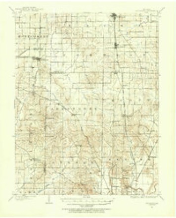
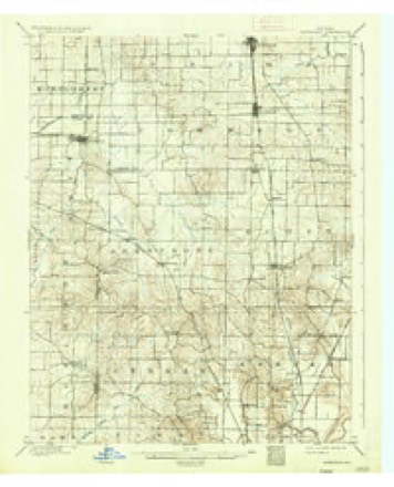
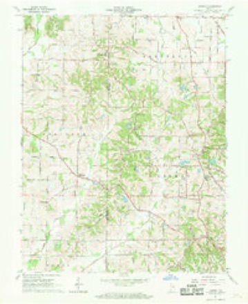
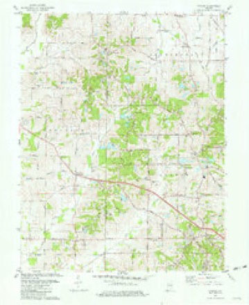
19 topographic sheets cover this place, the earliest surveyed in 1901 and the latest in 1986. It stands in Armstrong Township. It lies in ZIP code area 47720. The Survey maps it on the Kasson quadrangle. It stands 469 feet above sea level.
Topographic sheets covering this place
9 surveys from 19 printed sheetsMatched by testing this settlement's coordinate against the published boundary of every sheet in the United States Geological Survey's historical collection. Each opens the scanned sheet at the Survey.
- 1901 USGS Haubstadt quadrangle1:62500
- 1903 USGS Haubstadt quadrangle1:62500, 2 printings
- 1903 USGS Patoka quadrangle1:125000, 2 printings
- 1956 USGS Vincennes quadrangle1:250000, 4 printings
- 1957 USGS Vincennes quadrangle1:250000
- 1958 USGS Vincennes quadrangle1:250000, 2 printings
- 1961 USGS Kasson quadrangle1:24000, 2 printings
- 1981 USGS Kasson quadrangle1:24000, 3 printings
- 1986 USGS Princeton quadrangle1:100000, 2 printings





In the county-history sources
4,236 words on this townshipHistory of Vanderburgh County, Indiana, from Earliest Times to the Present; with Biographical Sketches, Reminiscences, Etc, published 1889 names this settlement in its chapter on Armstrong Township. These are the passages that mention it, exactly as the scans read.
Thomas Saulsbury and Maj. Selser were typical representatives of this class. They were both well-known in early days, and even by the survi\ing generation are not entirely forgotten. Thomas Saulsburj' was a " pretty wild chap" ; he came in as a hunter, made no pretensions as a farmer, and remained rough and uncouth as long as he was in this locality- He accumulated no property, being desirous of satisfying onl}- his daily wants, without thought of the morrow or the da3-s which might come when he could neither hunt or work. He built a cabin, however, and cleared a few acres of land. When the game began to get scarce he grew restless and pushed on to other and better hunting grounds. Disposing of his improvements to 'S(juire McDonald for a small amount, and gathering his family, his dogs, and the few necessary household goods together, he left the scenes of his oftrecounted exploits and was never heard of more. Maj. Selzer was of the same type. Joseph Caters, John Livingston, and John R. Kitchens were also known as followers of the game.
Passage source: History of Vanderburgh County, Indiana, from Earliest Times to the Present; with Biographical Sketches, Reminiscences, Etc, published 1889.
Immediately following the occupation of Armstrong township by civilized men few were more prominent than David Brumfield. Far above the average in intelligence, he was recommended to the governor for appointment as justice of the peace, by the iirst court held in Warrick county in 1813, and afterward when Vanderburgh county was organized, he was chosen by the electors as one of the first county commissioners. He maintained an honorable prominence throughout his entire career. The early elections were held at the house of Zadok McNew, which stood in section 32, township 4 south, range 11 west, was a small double log house, one and one-half stories high, and remained well preserved for manyyears. Zadok McNew was an early settler, not particularly able or prominent, but at one time a justice of the peace. He became a well-known citizen and raised a respected and honorable family. One of his daughters was married in early times to James Patton, who secured a tolerably fair education and taught school in various parts of the county. Patrick Calvert was distinguished among the old-time folks as a shrewd trader. He came into the township in 1816 and accumulated considerable property by trading in live-stock. He was wellknown in all the county as the leading stock dealer in that section, and his judgment was considered remarkably good. He and his descendants have built for their family name an honorable place in the history of the township.
Passage source: History of Vanderburgh County, Indiana, from Earliest Times to the Present; with Biographical Sketches, Reminiscences, Etc, published 1889.
Churches. - Until 1876 there was not a church in Armstrong township. It must not be inferred from this statement, however, that the people of the township were not many of them pious, devoted worshipers of the Divine Father. In early times there was frequent preaching at the school-houses and at the cabins of the settlers. The Baptists, Methodists, Presb\terians, Christians and other sects kept up the struggle for supremacy here as elsewhere. The Regular Baptists were the most prominent in the township at first, but later gave way to the Cumberland Presb\terians. As the country became more thickly settled facilities for worship were supplied by churches built outside of the township and 3'et near enougii the borders to have a large portion of their membership within the township. Cynthiana, in Posey county, has been the most freijuented place by Armstrong township people.
Passage source: History of Vanderburgh County, Indiana, from Earliest Times to the Present; with Biographical Sketches, Reminiscences, Etc, published 1889.
Machine-read from a century-old scan, so expect the errors a machine makes: misspelled names, dropped words, stray characters.
Read the whole chapter on Armstrong Township - it names this place 13 more 13 times.
Storms near this place
4 since 2011Regional context, not property-specific evidence. The National Weather Service names Armstrong in 4 storm reports between 2011 and 2020: 2 flood, 1 thunderstorm wind, 1 flash flood. No death or injury is recorded in these reports. Each account below is quoted exactly as the forecast office filed it, from the NOAA Storm Events Database, and each date opens the federal record of that event.
| When | Event | Place named | Harm | What the report says |
|---|---|---|---|---|
| November 2011 | Thunderstorm Wind | Armstrong | $20,000 | A wind gust to 62 mph was measured by the automated observing system at the Evansville airport. Just south of Armstrong, a 75-by-4 foot section of a metal roof on a fire station was peeled back. |
| October 2020 | Flood | Armstrong | - | Numerous roads were flooded, mostly in the northwestern portion of the county. |
| January 2013 | Flash Flood | Armstrong | - | Water was reported running across Boonville-New Harmony Road, which is a well-travelled state road. The flooding was just east of Highway 65. |
| April 2011 | Flood | Armstrong | - | no account filed |
Nearest settlements
The eight closest, with where each one stands in the county. Distances are straight-line, computed from the Geographic Names Information System coordinates.
| Map | Place | Distance | Sheets |
|---|---|---|---|
| Crossroads (historical) | 0.5 miles | 19 | |
| Martin | 1.8 miles | 19 | |
| Nisbet | 2.6 miles | 17 | |
| Saint Wendel | 2.7 miles | 19 | |
| Saint Joseph | 3.0 miles | 19 | |
| Darmstadt | 3.7 miles | 18 | |
| Inglefield | 4.7 miles | 18 | |
| Stacer | 5.1 miles | 17 |
Elsewhere
Matched on this settlement's Geographic Names Information System number rather than its name, so it cannot be a different place of the same name in another state.
| Wikipedia article on Armstrong | An encyclopaedic summary. Its text is share-alike, so it is linked here rather than copied. |
| Wikidata item Q4793900 | The structured record the population and elevation above come from. Public domain (CC0). |
Provenance
This settlement is recorded in the Geographic Names Information System as feature 430257. The sheet list is computed by point-in-boundary test against the United States Geological Survey's historical topographic inventory. Both are works of the United States government and carry no copyright under 17 U.S.C. 105.
Storms. NOAA National Centers for Environmental Information, Storm Events Database https://www.ncei.noaa.gov/stormevents/ A work of the United States government, no copyright under 17 U.S.C. 105. Narratives are quoted verbatim from the National Weather Service report and are not edited or summarised.