 Block
Stacer, Indiana
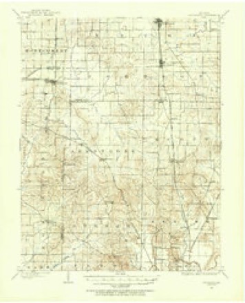
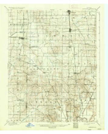
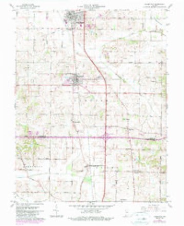
17 topographic sheets cover this place, the earliest surveyed in 1901 and the latest in 1986. It stands in Scott Township. It lies in ZIP code area 47725. The Survey maps it on the Haubstadt quadrangle.
Topographic sheets covering this place
8 surveys from 17 printed sheetsMatched by testing this settlement's coordinate against the published boundary of every sheet in the United States Geological Survey's historical collection. Each opens the scanned sheet at the Survey.
- 1901 USGS Haubstadt quadrangle1:62500
- 1903 USGS Haubstadt quadrangle1:62500, 2 printings
- 1903 USGS Patoka quadrangle1:125000, 2 printings
- 1956 USGS Vincennes quadrangle1:250000, 4 printings
- 1957 USGS Vincennes quadrangle1:250000
- 1958 USGS Vincennes quadrangle1:250000, 2 printings
- 1961 USGS Haubstadt quadrangle1:24000, 3 printings
- 1986 USGS Princeton quadrangle1:100000, 2 printings





In the county-history sources
10,232 words on this townshipHistory of Vanderburgh County, Indiana, from Earliest Times to the Present; with Biographical Sketches, Reminiscences, Etc, published 1889 has no passage naming this settlement, which was common for smaller places. Its township is covered in full.
The chapter on Scott Township covers the township.
Read the chapter on Scott Township - 10,232 words.
Storms near this place
7 since 1999Regional context, not property-specific evidence. The National Weather Service names Stacer in 7 storm reports between 1999 and 2024: 3 thunderstorm wind, 2 hail, 1 funnel cloud, 1 tornado. No death or injury is recorded in these reports. Each account below is quoted exactly as the forecast office filed it, from the NOAA Storm Events Database, and each date opens the federal record of that event.
| When | Event | Place named | Harm | What the report says |
|---|---|---|---|---|
| April 2024 | Tornado (EF1) | Stacer | $225,000 | An EF-1 tornado formed at the Gibson/Vanderburgh county line at I-64 near Old Princeton Rd during the early morning hours of April 2nd. The tornado tracked southeastward doing significant damage to roofing material at a farm on US-41 along with broken power poles. Trees were uprooted near the Cambridge Golf Club. On Volkman Rd a pole barn had partial roof loss next to a house with broken windows. The tornado crossed I-69, overturning a semi truck, continuing into Warrick County. Overall, dozens of trees were snapped or uprooted, several outbuildings were damaged or destroyed, and minor to moderate damage occurred at a few homes. Estimated peak winds for the tornado and the Vanderburgh segment were 110 mph. |
| June 2009 | Thunderstorm Wind | Stacer | $125,000 | A downburst with peak winds estimated near 95 mph affected an area one mile wide and six miles long. The damage started near the Gibson County line not far from Interstate 64. Many dozens of trees and tree limbs were blown down. Several homes sustained damage, mainly to roofs. Two barns were destroyed. Other farm buildings were damaged. Metal farm bins were partially blown over. Damage near the north end of the track was noticeably divergent. |
| August 2004 | Thunderstorm Wind | Stacer | $50,000 | Thunderstorm winds caused damage along and just south of the Gibson County line. The winds knocked down the Indiana State Police communications tower and toppled eight to ten utility poles. The metal communications tower, which was 300 feet high, was located behind the state police post on U.S. Highway 41 near Interstate 64. The utility poles were knocked down from Stacer Road north almost to Interstate 64. Traffic was backed up for about a mile on U.S. 41 after a power line fell on a truck. The driver was not injured. |
| April 2005 | Funnel Cloud | Stacer | - | On the south side of Interstate 64 near the Gibson County line, a wall cloud lowered and produced a small funnel. The funnel cloud never extended more than halfway to the ground. After about 15 minutes, the wall cloud ascended into the storm base. |
| March 2002 | Hail | Stacer | - | Dime size hail fell at Interstate 64 and U.S. Highway 41. |
| June 1999 | Thunderstorm Wind | Stacer | - | A thunderstorm wind gust was measured between 60 and 65 MPH near the Gibson County line. |
| May 1999 | Hail | Stacer | - | no account filed |
Nearest settlements
The eight closest, with where each one stands in the county. Distances are straight-line, computed from the Geographic Names Information System coordinates.
| Map | Place | Distance | Sheets |
|---|---|---|---|
| Inglefield | 2.8 miles | 18 | |
| Darmstadt | 3.5 miles | 18 | |
| Nisbet | 4.6 miles | 17 | |
| Hillsdale | 4.6 miles | 18 | |
| Armstrong | 5.1 miles | 19 | |
| Earle | 5.2 miles | 18 | |
| Crossroads (historical) | 5.3 miles | 19 | |
| Elliott | 5.3 miles | 20 |
Provenance
This settlement is recorded in the Geographic Names Information System as feature 444041. The sheet list is computed by point-in-boundary test against the United States Geological Survey's historical topographic inventory. Both are works of the United States government and carry no copyright under 17 U.S.C. 105.
Storms. NOAA National Centers for Environmental Information, Storm Events Database https://www.ncei.noaa.gov/stormevents/ A work of the United States government, no copyright under 17 U.S.C. 105. Narratives are quoted verbatim from the National Weather Service report and are not edited or summarised.