 Block
Belknap, Indiana
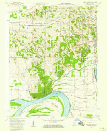
16 topographic sheets cover this place, the earliest surveyed in 1914 and the latest in 1991. It stands in Perry Township. It lies in ZIP code area 47712. The Survey maps it on the West Franklin quadrangle.
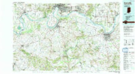
Topographic sheets covering this place
9 surveys from 16 printed sheetsMatched by testing this settlement's coordinate against the published boundary of every sheet in the United States Geological Survey's historical collection. Each opens the scanned sheet at the Survey.
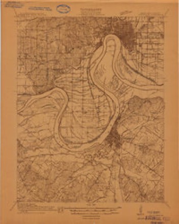
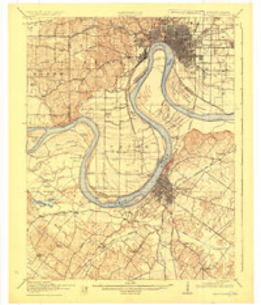
- 1914 USGS Henderson quadrangle1:48000
- 1916 USGS Henderson quadrangle1:62500, 3 printings
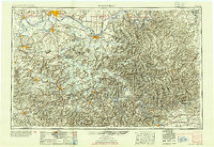
- 1954 USGS Evansville quadrangle1:250000
- 1957 USGS Evansville quadrangle1:250000, 3 printings
- 1957 USGS West Franklin quadrangle1:24000, 2 printings
- 1961 USGS Evansville quadrangle1:250000, 2 printings
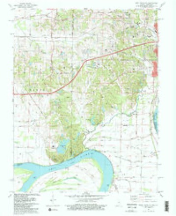
- 1981 USGS West Franklin quadrangle1:24000, 2 printings
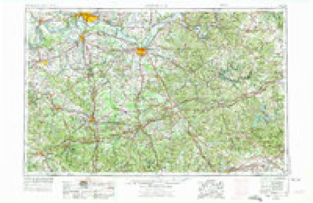
- 1986 USGS Evansville quadrangle1:100000
- 1991 USGS Evansville quadrangle1:100000
In the county-history sources
4,198 words on this townshipHistory of Vanderburgh County, Indiana, from Earliest Times to the Present; with Biographical Sketches, Reminiscences, Etc, published 1889 has no passage naming this settlement, which was common for smaller places. Its township is covered in full.
The chapter on Perry Township covers the township.
Read the chapter on Perry Township - 4,198 words.
Storms near this place
8 since 2011Regional context, not property-specific evidence. The National Weather Service names Belknap in 8 storm reports between 2011 and 2023: 3 hail, 2 thunderstorm wind, 1 flash flood, 1 flood. No death or injury is recorded in these reports. Each account below is quoted exactly as the forecast office filed it, from the NOAA Storm Events Database, and each date opens the federal record of that event.
| When | Event | Place named | Harm | What the report says |
|---|---|---|---|---|
| September 2012 | Thunderstorm Wind | Belknap | $50,000 | Substantial tree damage occurred in southwest parts of the county. Trees were down on power lines, causing numerous power outages. |
| March 2023 | Thunderstorm Wind | Belknap | $25,000 | Near Belknap, trees up to 20 inches in diameter were blown over. A few sections of roofing on a house were peeled up to the sub-roofing. Some siding was blown off the house. Some fencing was blown down. |
| July 2020 | Tornado (EF1) | Belknap | $15,000 | The tornado entered from Posey County. The tornado damage was mainly to trees and power lines. A couple houses lost some shingles and fascia. Estimated maximum wind speeds were near 95 mph. Survey findings were compiled from drone footage and data provided by the Evansville-Vanderburgh and Posey County emergency management agencies in conjunction with NWS data. The tornado path ended near Route 66 at the University Parkway. |
| September 2018 | Flash Flood | Belknap | $5,000 | Floodwaters were rushing over a street intersection in a residential neighborhood near the University of Southern Indiana. A car was stalled in floodwater on a street on the western side of Evansville. In the city, the eastbound ramp of the Lloyd Expressway to southbound U.S. Highway 41 was closed due to high water. A Cocorahs station six miles west-northwest of Evansville measured a daily total of 2.31 inches. |
| February 2019 | Flood | Belknap | - | A creek was overflowing its banks and flooding a side road several miles west of Evansville. |
| June 2013 | Hail | Belknap | - | Nickel-size hail was reported at the University of Southern Indiana campus a couple miles west of Evansville. |
| May 2011 | Hail | Belknap | - | Nickel to quarter-size hail fell at the University of Southern Indiana. |
| November 2011 | Hail | Belknap | - | A swath of dime-size hail occurred from the Posey County line eastward into Evansville. |
Nearest settlements
The eight closest, with where each one stands in the county. Distances are straight-line, computed from the Geographic Names Information System coordinates.
| Map | Place | Distance | Sheets |
|---|---|---|---|
| Red Bank | 3.4 miles | 16 | |
| Kasson | 3.6 miles | 19 | |
| Mud Center | 3.7 miles | 16 | |
| Cypress | 5.7 miles | 16 | |
| Kratzville | 6.1 miles | 18 | |
| Saint Joseph | 6.1 miles | 19 | |
| Harwood | 6.2 miles | 18 | |
| Vaughan | 6.4 miles | 16 |
Provenance
This settlement is recorded in the Geographic Names Information System as feature 430752. The sheet list is computed by point-in-boundary test against the United States Geological Survey's historical topographic inventory. Both are works of the United States government and carry no copyright under 17 U.S.C. 105.
Storms. NOAA National Centers for Environmental Information, Storm Events Database https://www.ncei.noaa.gov/stormevents/ A work of the United States government, no copyright under 17 U.S.C. 105. Narratives are quoted verbatim from the National Weather Service report and are not edited or summarised.