 Block
Kasson, Indiana
19 topographic sheets cover this place, the earliest surveyed in 1901 and the latest in 1986. It stands in German Township. It lies in ZIP code area 47720. The Survey maps it on the Kasson quadrangle.
Topographic sheets covering this place
9 surveys from 19 printed sheetsMatched by testing this settlement's coordinate against the published boundary of every sheet in the United States Geological Survey's historical collection. Each opens the scanned sheet at the Survey.
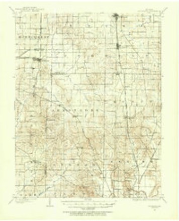
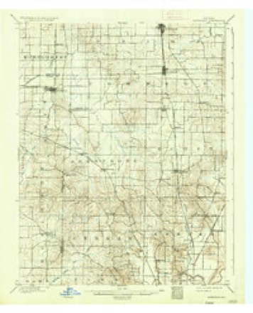
- 1901 USGS Haubstadt quadrangle1:62500
- 1903 USGS Haubstadt quadrangle1:62500, 2 printings
- 1903 USGS Patoka quadrangle1:125000, 2 printings
- 1956 USGS Vincennes quadrangle1:250000, 4 printings
- 1957 USGS Vincennes quadrangle1:250000
- 1958 USGS Vincennes quadrangle1:250000, 2 printings
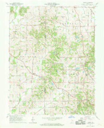
- 1961 USGS Kasson quadrangle1:24000, 2 printings
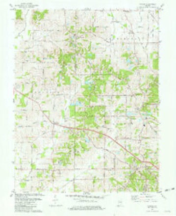
- 1981 USGS Kasson quadrangle1:24000, 3 printings
- 1986 USGS Princeton quadrangle1:100000, 2 printings





In the county-history sources
4,150 words on this townshipHistory of Vanderburgh County, Indiana, from Earliest Times to the Present; with Biographical Sketches, Reminiscences, Etc, published 1889 names this settlement in its chapter on German Township. These are the passages that mention it, exactly as the scans read.
Kasson, situated in sections 9 and 10, township 6 south, of range 1 1 west, contains a postoffice and blacksmith shop, but is without prospects of becoming important. Very near Kasson, on the southeast corner of section 9, township 6 south, range 11 west, as early as March 20, 1838, J. W. Lilliston laid out a town and named it Germantown, but it never attained importance.
Passage source: History of Vanderburgh County, Indiana, from Earliest Times to the Present; with Biographical Sketches, Reminiscences, Etc, published 1889.
Vienna was laid out in section 31, township 5, range 11, January 11, 1838, by John A. Morgan. It was quite pretentious, having 177 lots, but they have long since gone back to cornfield and meadow. . Churches. - In earlv times there were no church buildings in this township except one in the Henson neighborhood. This was a Liberty church, free to all denominations, and was erected more than half a century asfo. It was the scene of manv ffood meetings. Here Benoni Stinson, Jerry Cash and the Methodist circuit riders often preached. For a time religious sentiment was very strong, and meetings were frequently held at the houses of the Fauquhars, Hensons, Eichles and others. The old Liberty church was not kept in repair and has long since passed away. There is now no church
Passage source: History of Vanderburgh County, Indiana, from Earliest Times to the Present; with Biographical Sketches, Reminiscences, Etc, published 1889.
and Mary Fares. The parents came to this country in 1835, settling in Auglaize county, Ohio, where they ended their days. When they emigrated, Mr. Fares was only eleven years old, but he had learned to read and write the mother tongue, and after coming here learned to write and read in English. Until he was seventeen he worked upon the farm, and after that he learned the trade of shoemaker, which he followed from 1840 to 1854. He is now living on the farm which he purchased in 1853. In October, 1859, he was married to Veronek Mann, and they have had twelve children : John, Catherine, Caroline, Frederick, Sabina, Christina, Gustavus, Margaret, Henry, Veronek, Edward, and Louisa. Mr. Fares was for many years a member of the I. O. O. F. He was raised a Catholic. In politics he is a republican. Since 1861 he has served the community efficiently as postmaster at Kasson.
Passage source: History of Vanderburgh County, Indiana, from Earliest Times to the Present; with Biographical Sketches, Reminiscences, Etc, published 1889.
Machine-read from a century-old scan, so expect the errors a machine makes: misspelled names, dropped words, stray characters.
Read the whole chapter on German Township - it names this place 2 more 2 times.
Mines and quarries near this place
2 within 5 milesRegional context, not property-specific evidence. The federal mineral resources record lists 2 workings within 5 miles of Kasson: 2 producers. All of them still produce. What was taken out: Stone, Sand and Gravel, Construction. Distance is straight-line from the map coordinates, so a quarry counted here may appear on a neighbouring settlement's page as well.
| Where | Site | Commodity | Status | Recorded |
|---|---|---|---|---|
| Evansville Mill | Sand and Gravel, Construction | Producer | ||
| Vanderburg Co. Hwy. Dept. | Stone | Producer |
Storms near this place
4 since 2010Regional context, not property-specific evidence. The National Weather Service names Kasson in 4 storm reports between 2010 and 2023: 2 tornado, 1 thunderstorm wind, 1 hail. No death or injury is recorded in these reports. Each account below is quoted exactly as the forecast office filed it, from the NOAA Storm Events Database, and each date opens the federal record of that event.
| When | Event | Place named | Harm | What the report says |
|---|---|---|---|---|
| April 2016 | Tornado (EF1) | Kasson | $250,000 | This tornado tracked across the northern parts of the city of Evansville, following a track along or just north of Indiana Route 66. Dozens of trees were uprooted or broken. At least eight buildings were damaged on Indiana Route 66 due to fallen electric transmission poles and lines. At least one building had part of its metal roofing peeled up at Skylane Airport, and minor damage occurred to some homes and fences. Seven power poles were snapped. Straight-line wind damage also occurred, mainly south of the tornado track, where several trees were uprooted and tree limbs broken. Several eyewitnesses observed or photographed the tornado, mainly along the northwest section of its track. Peak winds were estimated near 100 mph. |
| March 2023 | Tornado (EF1) | Kasson | $150,000 | An EF-1 tornado began northwest of Kasson, IN, in western Vanderburgh County. Moving north, the tornado did tree and minor roof damage along Happe Road and Henze Road. The tornado widened as it crossed Plainview Drive, Goebel Lane, and St. Pauls Drive, just south of the community of St. Joseph, where it continued to produce tree damage and minor structural damage to roofs and fascia of homes. In St. Joseph, the tornado did its most significant damage when it removed the roof of St. Joseph Catholic Church. A gathering of people inside the church for a funeral received warning of the tornado and safely sheltered in the churchs basement as the tornado passed. In addition to the damage to the church, several homes received minor roof and fascia damage, and dozens of trees suffered major limb damage or were uprooted or snapped at the base. Peak winds were estimated near 100 mph. |
| October 2010 | Thunderstorm Wind | Kasson | $5,000 | Wires were blown down a few miles northwest of Evansville. A couple of trees were blown down about a mile southeast of the Evansville airport. |
| May 2012 | Hail | Kasson | - | no account filed |
Nearest settlements
The eight closest, with where each one stands in the county. Distances are straight-line, computed from the Geographic Names Information System coordinates.
| Map | Place | Distance | Sheets |
|---|---|---|---|
| Kratzville | 2.7 miles | 18 | |
| Red Bank | 3.2 miles | 16 | |
| Country Club Meadows | 3.4 miles | 18 | |
| Harwood | 3.4 miles | 18 | |
| Saint Joseph | 3.4 miles | 19 | |
| Belknap | 3.6 miles | 16 | |
| Highland | 3.7 miles | 18 | |
| Stringtown | 4.0 miles | 18 |
Provenance
This settlement is recorded in the Geographic Names Information System as feature 437171. The sheet list is computed by point-in-boundary test against the United States Geological Survey's historical topographic inventory. Both are works of the United States government and carry no copyright under 17 U.S.C. 105.
Mines and quarries. USGS Mineral Resources Data System (MRDS) https://mrdata.usgs.gov/mrds/ A work of the United States government, no copyright under 17 U.S.C. 105.
Storms. NOAA National Centers for Environmental Information, Storm Events Database https://www.ncei.noaa.gov/stormevents/ A work of the United States government, no copyright under 17 U.S.C. 105. Narratives are quoted verbatim from the National Weather Service report and are not edited or summarised.