 Block
Cypress, Indiana
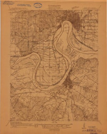
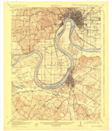
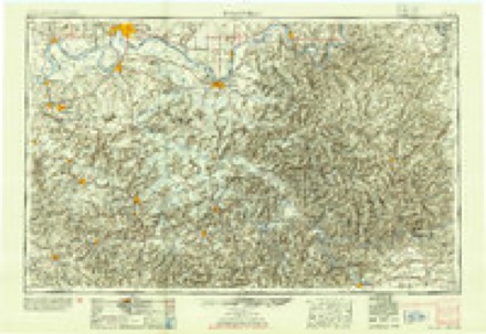
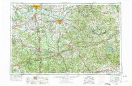
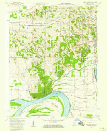
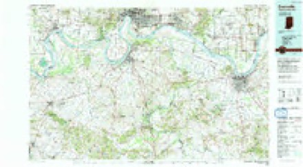
16 topographic sheets cover this place, the earliest surveyed in 1914 and the latest in 1991. It stands in Union Township. It lies in ZIP code area 47712. The Survey maps it on the West Franklin quadrangle.
Topographic sheets covering this place
9 surveys from 16 printed sheetsMatched by testing this settlement's coordinate against the published boundary of every sheet in the United States Geological Survey's historical collection. Each opens the scanned sheet at the Survey.
- 1914 USGS Henderson quadrangle1:48000
- 1916 USGS Henderson quadrangle1:62500, 3 printings
- 1954 USGS Evansville quadrangle1:250000
- 1957 USGS Evansville quadrangle1:250000, 3 printings
- 1957 USGS West Franklin quadrangle1:24000, 2 printings
- 1961 USGS Evansville quadrangle1:250000, 2 printings
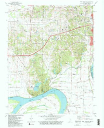
- 1981 USGS West Franklin quadrangle1:24000, 2 printings
- 1986 USGS Evansville quadrangle1:100000
- 1991 USGS Evansville quadrangle1:100000
In the county-history sources
5,513 words on this townshipHistory of Vanderburgh County, Indiana, from Earliest Times to the Present; with Biographical Sketches, Reminiscences, Etc, published 1889 names this settlement in its chapter on Union Township. These are the passages that mention it, exactly as the scans read.
The German Lutherans about ten years ago, built a neat country church on the old Schaffner place, afterward the Kamp farm. Leopold Kamp, Conrad Burgdorf, John Garloch, and John Roth, and their wives, were among the most active in bringing the church into existence. There is a large congregation now under the charge of Rev. Veay, of Henderson, Ky., and a prosperous Sabbath school, with Leopold Kamp, as superintendent.
Passage source: History of Vanderburgh County, Indiana, from Earliest Times to the Present; with Biographical Sketches, Reminiscences, Etc, published 1889.
Tuzviis. - There is not a town worthy of that name in Union township. Cypress has a postoffice, a blacksmith shop, and a small store. Joseph Shenck' is postmaster and proprietor of the store. At two or three of the road-crossings there are a few shops, and places of refreshment, but none boast of themselves as towns. On March i, 1820, Joseph M. McDowell laid out a town in the southeast quarter of section 21, township 7 south, range 11 west, and called it Unionville. The village passed out of existence before the coming of the present generation.
Passage source: History of Vanderburgh County, Indiana, from Earliest Times to the Present; with Biographical Sketches, Reminiscences, Etc, published 1889.
Machine-read from a century-old scan, so expect the errors a machine makes: misspelled names, dropped words, stray characters.
Fires near this place
3 since 2008Regional context, not property-specific evidence. The federal wildfire occurrence database lists 3 fires within 5 miles of Cypress between 2008 and 2010, burning about 4 acres in total. None started naturally. None was recorded as arson. Distance is straight-line from the map coordinates, so a fire counted here may appear on a neighbouring settlement's page as well.
| Reported cause | Fires |
|---|---|
| Missing data/not specified/undetermined | 2 |
| Railroad operations and maintenance | 1 |
The most recent of them, most recent first, with the day each was reported and the service that recorded it.
| Date | Cause | Size | Reported by | Name on the report |
|---|---|---|---|---|
| 5 November 2008 | Railroad operations and maintenance | 2.0 acres | Kentucky Division of Forestry | not named |
| 29 October 2010 | Missing data/not specified/undetermined | 1.0 acres | Kentucky Division of Forestry | COTTONWOOD FIRE |
| 24 October 2010 | Missing data/not specified/undetermined | 1.0 acres | Kentucky Division of Forestry | MIDNIGHT FIRE |
Settlements close enough to share some of these fires:
Mines and quarries near this place
3 within 5 milesRegional context, not property-specific evidence. The federal mineral resources record lists 3 workings within 5 miles of Cypress: 3 producers. All of them still produce. What was taken out: Sand and Gravel, Construction, Stone. Distance is straight-line from the map coordinates, so a quarry counted here may appear on a neighbouring settlement's page as well.
| Where | Site | Commodity | Status | Recorded |
|---|---|---|---|---|
| Vanderburg Co. Hwy. Dept. | Stone | Producer | ||
| Evansville Mill | Sand and Gravel, Construction | Producer | ||
| Henderson Plant | Sand and Gravel, Construction | Producer |
Storms near this place
6 since 2004Regional context, not property-specific evidence. The National Weather Service names Cypress in 6 storm reports between 2004 and 2024: 3 flood, 2 thunderstorm wind, 1 tornado. No death or injury is recorded in these reports. Each account below is quoted exactly as the forecast office filed it, from the NOAA Storm Events Database, and each date opens the federal record of that event.
| When | Event | Place named | Harm | What the report says |
|---|---|---|---|---|
| November 2005 | Tornado (F3) | Cypress | $150,000 | This tornado first crossed into Vanderburgh County, Indiana from Henderson County, KY at a peninsula formed by the Ohio River just west of Henderson. This peninsula is Ohio River bottomland primarily used for farming. From the air, scour marks were clearly visible on farmland. There were very few structures impacted in this small part of the county. A two-story house built in 1875 sustained major roof damage. Tree branches were embedded into the house. One farm equipment shed was demolished, and another sustained major damage. A 10,000-pound truck was flipped over. Heavy farm equipment was moved several feet. The tornado crossed the Ohio River back into Henderson County in a sparsely populated flood plain, used mostly for farming. |
| January 2016 | Flood | Cypress | $30,000 | Minor flooding of the Ohio River continued into January. Agricultural bottomland and county roads in the bottomlands were flooded. Basements along the Evansville riverfront began to fill. Flooding began along Pigeon Creek, which is a tributary of the Ohio River. The levee authority operated several pumping stations and closed the flood gates downtown. |
| July 2024 | Thunderstorm Wind | Cypress | $15,000 | A dozen trees were damaged or felled by thunderstorm downdraft winds. At least one house suffered minor roof damage. |
| April 2015 | Flood | Cypress | $10,000 | Minor flooding occurred along the Ohio River. Most river bottomland was inundated. Farmers moved livestock and equipment to higher ground. Basements along the riverfront began to fill. Flooding of Pigeon Creek, which runs along the east side of Evansville, was caused by backwater from the Ohio River. Some county roads were flooded. |
| March 2011 | Flood | Cypress | - | no account filed |
| May 2004 | Thunderstorm Wind | Cypress | - | no account filed |
Nearest settlements
The eight closest, with where each one stands in the county. Distances are straight-line, computed from the Geographic Names Information System coordinates.
| Map | Place | Distance | Sheets |
|---|---|---|---|
| Vaughan | 0.9 miles | 16 | |
| Mud Center | 2.9 miles | 16 | |
| Rahm | 3.2 miles | 18 | |
| Red Bank | 4.0 miles | 16 | |
| Belknap | 5.7 miles | 16 | |
| Evansville | 5.7 miles | 18 | |
| Harwood | 6.8 miles | 18 | |
| Kasson | 7.1 miles | 19 |
Provenance
This settlement is recorded in the Geographic Names Information System as feature 433608. The sheet list is computed by point-in-boundary test against the United States Geological Survey's historical topographic inventory. Both are works of the United States government and carry no copyright under 17 U.S.C. 105.
Wildfire. Short, Karen C. 2022. Spatial wildfire occurrence data for the United States, 1992-2020 [FPA_FOD_20221014]. 6th Edition. Fort Collins, CO: Forest Service Research Data Archive. https://doi.org/10.2737/RDS-2013-0009.6 Collected with United States Government funding and usable without additional permissions or fees.
Mines and quarries. USGS Mineral Resources Data System (MRDS) https://mrdata.usgs.gov/mrds/ A work of the United States government, no copyright under 17 U.S.C. 105.
Storms. NOAA National Centers for Environmental Information, Storm Events Database https://www.ncei.noaa.gov/stormevents/ A work of the United States government, no copyright under 17 U.S.C. 105. Narratives are quoted verbatim from the National Weather Service report and are not edited or summarised.