 Block
Chapel Hill, Indiana
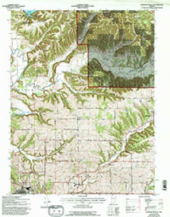
18 topographic sheets cover this place, the earliest surveyed in 1934 and the latest in 1990. It stands in Polk Township. It lies in ZIP code area 47436. It lies near Martin Hollow. The Survey maps it on the Bartlettsville quadrangle.
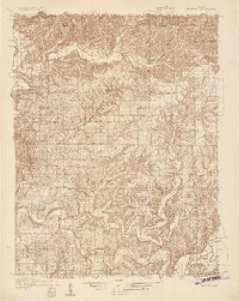
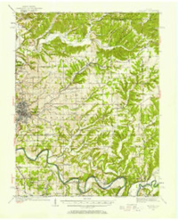
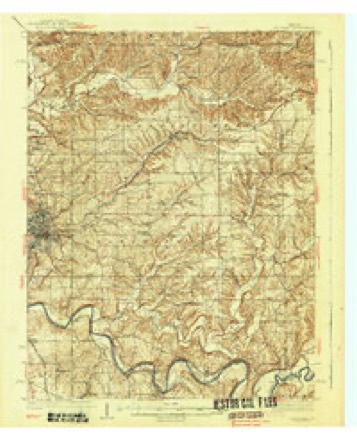
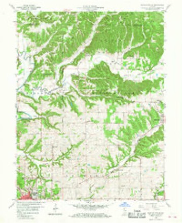
Topographic sheets covering this place
10 surveys from 18 printed sheetsMatched by testing this settlement's coordinate against the published boundary of every sheet in the United States Geological Survey's historical collection. Each opens the scanned sheet at the Survey.
- 1934 USGS Bedford quadrangle1:48000
- 1934 USGS Bedford quadrangle1:62500
- 1937 USGS Bedford quadrangle1:62500, 2 printings
- 1956 USGS Vincennes quadrangle1:250000, 4 printings
- 1957 USGS Vincennes quadrangle1:250000
- 1958 USGS Bartlettsville quadrangle1:24000, 2 printings
- 1958 USGS Vincennes quadrangle1:250000, 2 printings
- 1978 USGS Bartlettsville quadrangle1:24000, 3 printings
- 1986 USGS Bedford quadrangle1:100000
- 1990 USGS Bedford quadrangle1:100000



In the county-history sources
3,641 words on this township1884 History of Monroe County Indiana, published 1884 names this settlement in its chapter on Polk Township. These are the passages that mention it, exactly as the scans read.
The first school was taught in the vicinity of the Todds, early in the forties, but the name of the teacher cannot be given. The house was of logs, and had been built for a dwelling, but the family had vacated it, after which it was transformed into a seat of learning. Schools did not generally start up until the decade of fifties. In 1856, there were but four schoolhouses in the township, both of logs. There are now six or eight. Mr. Todd donated the land on Section 26 for a schoolhouse, and William Hunter the land on Section 31, Range 2 east; the latter included a fine spring of running water. Early in the fifties the Methodist Church, called Chapel Hill, was organized, and soon afterward the building was erected. Among the early members were the families of A. J. Temple, John T. Cracraft, David Miller, Jackson Cracraft and Felix Miller and others. Charles Bruner was an early pastor. Another early church was the one called Pleasant Valley of the Methodists. ` John Allen, Thomas Allen, Eldridge Prince, William Edds and others were members. Another early class was the Methodist Church, called Salem Chapel, some of the early members being the families of Peter Norman, William Hunter, Benjamin Browning, Lucien D. , John F. Walker, L. Q. Hoggatt, William H. Cornelius.
Passage source: 1884 History of Monroe County Indiana, published 1884.
In the month of October, 1856, David Miller and John Smith, owners, employed the County Surveyor to lay off twenty-seven lots on the northwest quarter of the southeast quarter of Section 31, Township 7 north, Range 1 east, and named the village thus started on paper Chapel Hill. Their hopes of having a thriving town spring up there, however, were doomed to disappointment. A start was made, but the infant was
Passage source: 1884 History of Monroe County Indiana, published 1884.
Machine-read from a century-old scan, so expect the errors a machine makes: misspelled names, dropped words, stray characters.
Fires near this place
75 since 1992Regional context, not property-specific evidence. The federal wildfire occurrence database lists 75 fires within 5 miles of Chapel Hill between 1992 and 2019, burning about 249 acres in total. 1 started naturally. 22 were recorded as arson. Distance is straight-line from the map coordinates, so a fire counted here may appear on a neighbouring settlement's page as well.
| Reported cause | Fires |
|---|---|
| Arson/incendiarism | 22 |
| Debris and open burning | 20 |
| Recreation and ceremony | 16 |
| Missing data/not specified/undetermined | 6 |
| Equipment and vehicle use | 5 |
| Power generation/transmission/distribution | 3 |
| Natural | 1 |
| Misuse of fire by a minor | 1 |
| Other causes | 1 |
The most recent of them, most recent first, with the day each was reported and the service that recorded it.
| Date | Cause | Size | Reported by | Name on the report |
|---|---|---|---|---|
| 7 September 2007 | Arson/incendiarism | 1.0 acres | Hoosier National Forest | BROOKS |
| 6 September 2010 | Debris and open burning | under an acre | Hoosier National Forest | CRAZY JOE |
| 25 September 2008 | Missing data/not specified/undetermined | under an acre | Hoosier National Forest | ROAD SIDE |
| 10 September 2002 | Arson/incendiarism | 4.0 acres | Hoosier National Forest | STAR |
| 23 August 1996 | Arson/incendiarism | under an acre | Hoosier National Forest | POWER LINE |
| 19 August 2003 | Debris and open burning | under an acre | Hoosier National Forest | TODD CEMETERY |
| 5 July 2003 | Power generation/transmission/distribution | 1.0 acres | Hoosier National Forest | POWERLINE |
| 4 July 2012 | Equipment and vehicle use | 1.0 acres | Hoosier National Forest | HAY BALE |
Settlements close enough to share some of these fires:
Mines and quarries near this place
3 within 5 milesRegional context, not property-specific evidence. The federal mineral resources record lists 3 workings within 5 miles of Chapel Hill: 2 occurrences, 1 producer. 1 still produces. What was taken out: Iron, Limestone, Dimension. Distance is straight-line from the map coordinates, so a quarry counted here may appear on a neighbouring settlement's page as well.
| Where | Site | Commodity | Status | Recorded |
|---|---|---|---|---|
| Guthrie Quarry | Limestone, Dimension | Producer | ||
| Unnamed Prospect | Iron | Occurrence | ||
| Unnamed Prospect | Iron | Occurrence |
Nearest settlements
The eight closest, with where each one stands in the county. Distances are straight-line, computed from the Geographic Names Information System coordinates.
| Map | Place | Distance | Sheets |
|---|---|---|---|
| Fairfax | 1.8 miles | 24 | |
| Harrodsburg | 5.2 miles | 27 | |
| Yellowstone | 5.7 miles | 17 | |
| Smithville | 5.9 miles | 27 | |
| Sanders | 6.6 miles | 27 | |
| Handy | 7.1 miles | 24 | |
| Victor | 8.2 miles | 27 | |
| Knight Ridge | 8.8 miles | 21 |
Provenance
This settlement is recorded in the Geographic Names Information System as feature 450765. The sheet list is computed by point-in-boundary test against the United States Geological Survey's historical topographic inventory. Both are works of the United States government and carry no copyright under 17 U.S.C. 105.
Wildfire. Short, Karen C. 2022. Spatial wildfire occurrence data for the United States, 1992-2020 [FPA_FOD_20221014]. 6th Edition. Fort Collins, CO: Forest Service Research Data Archive. https://doi.org/10.2737/RDS-2013-0009.6 Collected with United States Government funding and usable without additional permissions or fees.
Mines and quarries. USGS Mineral Resources Data System (MRDS) https://mrdata.usgs.gov/mrds/ A work of the United States government, no copyright under 17 U.S.C. 105.