 Block
Fairfax, Indiana
24 topographic sheets cover this place, the earliest surveyed in 1942 and the latest in 1986. It stands in Clear Creek Township. It lies in ZIP code area 47401. It lies near Martin Hollow. The Survey maps it on the Allens Creek quadrangle.
Topographic sheets covering this place
9 surveys from 24 printed sheetsMatched by testing this settlement's coordinate against the published boundary of every sheet in the United States Geological Survey's historical collection. Each opens the scanned sheet at the Survey.
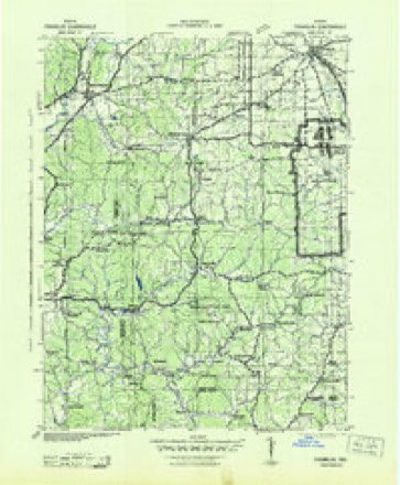
- 1942 USGS Franklin quadrangle1:125000
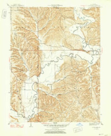
- 1947 USGS Allens Creek quadrangle1:24000, 3 printings
- 1953 USGS Indianapolis quadrangle1:250000, 4 printings
- 1956 USGS Indianapolis quadrangle1:250000
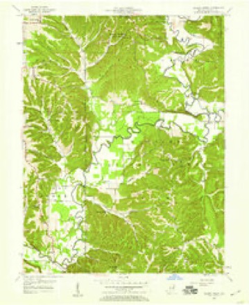
- 1957 USGS Allens Creek quadrangle1:24000, 3 printings
- 1957 USGS Indianapolis quadrangle1:250000, 2 printings
- 1962 USGS Indianapolis quadrangle1:250000
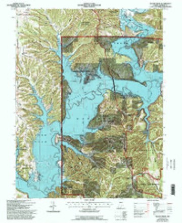
- 1966 USGS Allens Creek quadrangle1:24000, 6 printings
- 1986 USGS Bloomington quadrangle1:100000, 3 printings





In the county-history sources
6,962 words on this township1884 History of Monroe County Indiana, published 1884 names this settlement in its chapter on Clear Creek Township. These are the passages that mention it, exactly as the scans read.
Fairfax was started at an early date, but has always been a village of modest pretensions as regards size. So far as can be learned, N. Whisenand and R. Wilson opened a liquor establishment there in about 1835 and continued on for several years, adding a small stock of goods in about
Passage source: 1884 History of Monroe County Indiana, published 1884.
It is said that the first school in the township was taught near the old Woodward homestead about 1822. This was a short distance south of the present Smithville. The school was held in a vacated log cabin that had been occupied for a short time by some family. Another early school was taught near Fairfax; and still another in the Rogers neighborhood. The Chambers were the founders of a school about 1830. In 1836, there were three schoolhouses in the township, and one or two old residences which were used for that purpose. In about 1840, the old log schoolhouse at Harrodsburg was erected, which was used for school and church purposes until about 1851. School was taught at Fairfax as early as 1838. In 1846, the township consisted of four school districts, two schools being held in District No. 2. During the winter of 1846-47, school was not taught in Nos. 1 or 3. The enrollment in District 2 was 53 and in District 4 was 25. The length of each term was three months. Twenty-two children attended in No. 4, and 34 in No. 2. All these houses were of logs. In 1856, there were schoolhouses at Harrodsburg, Smnithville, Fairfax, and on Sections 8, 11 and 29. The only frame house was at Harrodsburg. The old log schoolhouse at this village had been burned down about 1851, at which time a small one-story frame was erected to take its place. arly teachers in this frame house were Jonas May, Maj. Grimes, Luther De Motte, William Brown, Elzy Woodward et al. Dr. James Beatley taught in the old log house as early as 1844. He was a better teacher than physician. The small frame house was used until war time, when the present two-storied frame building was erected at a cost of about $1,000; three teachers are now employed in the Harrodsburg schools. William Neill is the present Principal. The township schools were greatly improved during the fifties and more so during the sixties and the seventies. The following is for the schools of 1880-81:
Passage source: 1884 History of Monroe County Indiana, published 1884.
Machine-read from a century-old scan, so expect the errors a machine makes: misspelled names, dropped words, stray characters.
Read the whole chapter on Clear Creek Township - it names this place 1 more 1 time.
Fires near this place
59 since 1992Regional context, not property-specific evidence. The federal wildfire occurrence database lists 59 fires within 5 miles of Fairfax between 1992 and 2018, burning about 214 acres in total. None started naturally. 18 were recorded as arson. Distance is straight-line from the map coordinates, so a fire counted here may appear on a neighbouring settlement's page as well.
| Reported cause | Fires |
|---|---|
| Arson/incendiarism | 18 |
| Debris and open burning | 17 |
| Recreation and ceremony | 11 |
| Missing data/not specified/undetermined | 5 |
| Power generation/transmission/distribution | 3 |
| Equipment and vehicle use | 3 |
| Misuse of fire by a minor | 1 |
| Other causes | 1 |
The most recent of them, most recent first, with the day each was reported and the service that recorded it.
| Date | Cause | Size | Reported by | Name on the report |
|---|---|---|---|---|
| 7 September 2007 | Arson/incendiarism | 1.0 acres | Hoosier National Forest | BROOKS |
| 6 September 2010 | Debris and open burning | under an acre | Hoosier National Forest | CRAZY JOE |
| 25 September 2008 | Missing data/not specified/undetermined | under an acre | Hoosier National Forest | ROAD SIDE |
| 10 September 2002 | Arson/incendiarism | 4.0 acres | Hoosier National Forest | STAR |
| 23 August 1996 | Arson/incendiarism | under an acre | Hoosier National Forest | POWER LINE |
| 5 July 2003 | Power generation/transmission/distribution | 1.0 acres | Hoosier National Forest | POWERLINE |
| 4 July 2012 | Equipment and vehicle use | 1.0 acres | Hoosier National Forest | HAY BALE |
| 8 June 2000 | Recreation and ceremony | under an acre | Hoosier National Forest | CLIFT |
Settlements close enough to share some of these fires:
Mines and quarries near this place
6 within 5 milesRegional context, not property-specific evidence. The federal mineral resources record lists 6 workings within 5 miles of Fairfax: 3 occurrences, 2 past producers, 1 producer. 1 still produces. What was taken out: Limestone, General, Iron, Limestone, Dimension, Lead, Zinc. Distance is straight-line from the map coordinates, so a quarry counted here may appear on a neighbouring settlement's page as well.
| Where | Site | Commodity | Status | Recorded |
|---|---|---|---|---|
| Guthrie Quarry | Limestone, Dimension | Producer | ||
| Sphalerite Occurrence Z70 | Lead, Zinc, Sulfur | Occurrence | Sphalerite | |
| Cleveland Stone Limestone Quarry | Limestone, General | Past Producer | ||
| Number 3 Needmore Quarry | Limestone, General | Past Producer | ||
| Unnamed Prospect | Iron | Occurrence | ||
| Unnamed Prospect | Iron | Occurrence |
Nearest settlements
The eight closest, with where each one stands in the county. Distances are straight-line, computed from the Geographic Names Information System coordinates.
| Map | Place | Distance | Sheets |
|---|---|---|---|
| Chapel Hill | 1.8 miles | 18 | |
| Harrodsburg | 3.4 miles | 27 | |
| Smithville | 4.6 miles | 27 | |
| Sanders | 5.2 miles | 27 | |
| Handy | 6.1 miles | 24 | |
| Victor | 6.4 miles | 27 | |
| Yellowstone | 7.3 miles | 17 | |
| Kirksville | 7.5 miles | 27 |
Provenance
This settlement is recorded in the Geographic Names Information System as feature 452230. The sheet list is computed by point-in-boundary test against the United States Geological Survey's historical topographic inventory. Both are works of the United States government and carry no copyright under 17 U.S.C. 105.
Wildfire. Short, Karen C. 2022. Spatial wildfire occurrence data for the United States, 1992-2020 [FPA_FOD_20221014]. 6th Edition. Fort Collins, CO: Forest Service Research Data Archive. https://doi.org/10.2737/RDS-2013-0009.6 Collected with United States Government funding and usable without additional permissions or fees.
Mines and quarries. USGS Mineral Resources Data System (MRDS) https://mrdata.usgs.gov/mrds/ A work of the United States government, no copyright under 17 U.S.C. 105.