 Block
Harrodsburg, Indiana
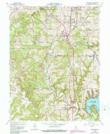
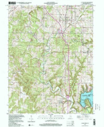
27 topographic sheets cover this place, the earliest surveyed in 1908 and the latest in 1999. It stands in Clear Creek Township. It lies in ZIP code area 47403. It stands on Little Clear Creek. The Survey maps it on the Clear Creek quadrangle. 656 people lived here at the 2020 count. It stands 558 feet above sea level.
Population over time
2 figuresHarrodsburg fell from 691 to 656 between 2010 and 2020. These are the recorded population figures Wikidata holds for this place, reached through the Geographic Names Information System number this page is keyed on rather than by name, so they belong to this place and not to another of the same name. Most are census counts, but not all are: an early figure may be a founding or settlement estimate, and an estimate published within five years of a census is left out. The change column is computed, and is left blank where more than 20 years separate a figure from the one before it, because a gap that long is not a change between two counts.
| Year | People | Change |
|---|---|---|
| 2010 | 691 | |
| 2020 | 656 | -35 (-5%) |
Topographic sheets covering this place
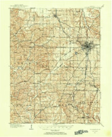
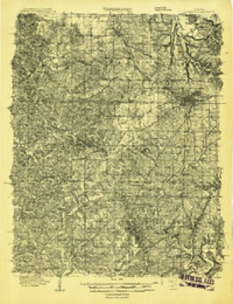
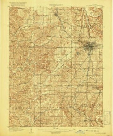
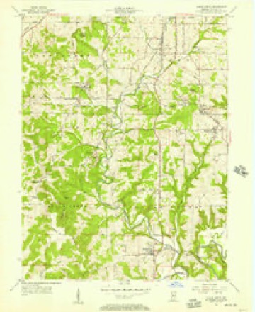
11 surveys from 27 printed sheetsMatched by testing this settlement's coordinate against the published boundary of every sheet in the United States Geological Survey's historical collection. Each opens the scanned sheet at the Survey.
- 1908 USGS Bloomington quadrangle1:62500
- 1908 USGS Bloomington quadrangle1:48000
- 1910 USGS Bloomington quadrangle1:62500, 6 printings
- 1953 USGS Indianapolis quadrangle1:250000, 4 printings
- 1956 USGS Clear Creek quadrangle1:24000
- 1956 USGS Indianapolis quadrangle1:250000
- 1957 USGS Indianapolis quadrangle1:250000, 2 printings
- 1962 USGS Indianapolis quadrangle1:250000
- 1965 USGS Clear Creek quadrangle1:24000, 6 printings
- 1986 USGS Bloomington quadrangle1:100000, 3 printings
- 1999 USGS Clear Creek quadrangle1:24000





In the county-history sources
6,962 words on this township1884 History of Monroe County Indiana, published 1884 names this settlement in its chapter on Clear Creek Township. These are the passages that mention it, exactly as the scans read.
Base township is one of the best in the county for agricultural purposes. It has an abundance of low land, as it lies principally in the forks of Clear Creek and Salt Creek, the two principal streams of the southern half of the county. Between the forks the land is gently undulating as a general rule, and the surface soil contains an abundance of food for almost all farm productions. Along the two streams are rather precipitous bluffs, which, back some distance, gradually blend with the general undulating surface of the country. Immediately adjoining the streams are narrow valleys very rich and productive. The geological formation is revealed in many places - at quarries and along the New Albany Railroad principally. In places where the storms have washed away the surface soil, hundreds of geodes, comprising crystalline and butryoidal, are found. The railroad track at Harrodsburg. is 509- feet above the level of the sea, and at Smithville is 710 feet. This shows a railroad grade of 201 feet betweeri those two places. distant about four miles and a half. The altitude at Bloomington is 745, and northwest of Bloomington at the highest point of the grade is 883 feet. The track at Ellettsville is 685 feet above the sea. In the vicinity of Smithville, covering about a section of land, the Keokuk limestone makes its appearance at the surface. A little distance west, extending a little east of north, is the general overlying edge of the Keokuk group, lapping upon the knobstone. A short distance further west is the St. Louis limestone. On Section 2, about a mile northeast of Smithville, the geological formation is as follows:
Passage source: 1884 History of Monroe County Indiana, published 1884.
The village of Harrodsburg, now third in population and importance in the county, was laid out by Alexander Buchanan, proprietor, and John Sedwick, surveyor, in December, 1836, on the northeast corner of the routhwest quarter of Section 29, Township T north, Range 1 west. Twenty-four lots were laid out, and Eee was named Newgene. In May, 1837, Levi Sugart laid out an addition of three lots, and at this time, for some reason unknown, the name of the village was 'changed to Harrodsburg. It is said that the first store was started by Berkey & Isominger, who took out a license in 1836. Jacob Corman took out a liquor license in 1839, paying therefor $25. 'Tilford & Glass early established a store in the village. It is said that A. & P. Carmichael, who were in the mercantile business at Stanford, were also in Harrodsburg. Mr. Berkey bought a lot conditionally in the town before it was laid out.» The early families of the village were those of Henry Berkey, Joseph Cranshaw, Job Horton, Samuel Baugh, Richard Empson, Alexander Buchanan, the Widow Cully and others. This was about the condition in 1844, at which time no store had been in the town for a year or two. In 1844, S. W. & J. D. Urmey opened a store of general merchandise, worth about $450, and the following year Paris Vestal also established a store. James Bentley was the first resident physician; he was also a pedagogue of considerable repute. Baugh & Empson were tanners. Rufus Finley erected a tannery about forty rods down the little creek at the village.* Vestal continued about two years, then sold to Moore & Baugh. Greason was Vestal's partner for a short time, as was also McCrea. In 1848, Vestal and Sutherland were partners, but after a short time each continued separate. James W. Carter was in business about 1849. Sutherland & Graham were together for a short time about 1850. 'The Urmeys still continued, with increasing business. Odell & Walker were in business about this time. Sutherland & Baugh were partners for a short time, closing in July, 1853. In April, 1852, Alex- were assumed by the senior partner. Henry Baugh was alone in business about this time; also W. N. Anderson. Among the business men afterward were Carter & Dunn, Mr. Waldrip, Julius Sues, Harmon & Buchanan, East & Deckard, Judy & Kinser, Oliphant & Pearson, Oliphant & Girton, Carmichael & Urmey, Oliphant & Woodward, Woolery & Wolf, Wolf & Son, Perdue & Wolf, Urmey & McFadden, Perdue & Woolery, Stevenson & Perdue, Woolery, Stevenson & Carmichael, H. C. Smallwood, Deckard, Anderson, Stevenson, J. W. Sears, Brown & Fields, Litzman, Deckard & Chambers, Kinser & Smallwood, W. Kinser, Granger's store, Strain & Woodward and perhaps others. Sutherland & Jones, beginning in 1853, did a large business in packing pork and shiping the same and grain down the creeks to the markets of the South. They sent out from eight to twelve boats each year and employed during the busy seasons forty or fifty men. The aggregate business per annum was little less than $100,000. This gave the appearance of great thrift to the little town, and induced many to locate there who otherwise would have passed on. Urmey & Isominger shipped grain by boat during the forties. The Urmey brothers did the same. Sutherland & Jones lost considerable money on pork, and were gradually forced from business though they paid their debts. Carmichael & Urmey in 181, began a big business in packing pork. The first year they packed 1,800 hogs. The business was increased so that forty men were employed, and as high as 8,500 hogs were slaughtered and packed in one season. Considerable wheat, corn and flour was bought and shipped also. The railroad had been completed in 1853, and this afforded a much better way of reaching market than by water. These, men continued the business until 1877, when they failed, by reason of heavy losses, and compromised honorabl with their creditors.
Passage source: 1884 History of Monroe County Indiana, published 1884.
It is said that the first school in the township was taught near the old Woodward homestead about 1822. This was a short distance south of the present Smithville. The school was held in a vacated log cabin that had been occupied for a short time by some family. Another early school was taught near Fairfax; and still another in the Rogers neighborhood. The Chambers were the founders of a school about 1830. In 1836, there were three schoolhouses in the township, and one or two old residences which were used for that purpose. In about 1840, the old log schoolhouse at Harrodsburg was erected, which was used for school and church purposes until about 1851. School was taught at Fairfax as early as 1838. In 1846, the township consisted of four school districts, two schools being held in District No. 2. During the winter of 1846-47, school was not taught in Nos. 1 or 3. The enrollment in District 2 was 53 and in District 4 was 25. The length of each term was three months. Twenty-two children attended in No. 4, and 34 in No. 2. All these houses were of logs. In 1856, there were schoolhouses at Harrodsburg, Smnithville, Fairfax, and on Sections 8, 11 and 29. The only frame house was at Harrodsburg. The old log schoolhouse at this village had been burned down about 1851, at which time a small one-story frame was erected to take its place. arly teachers in this frame house were Jonas May, Maj. Grimes, Luther De Motte, William Brown, Elzy Woodward et al. Dr. James Beatley taught in the old log house as early as 1844. He was a better teacher than physician. The small frame house was used until war time, when the present two-storied frame building was erected at a cost of about $1,000; three teachers are now employed in the Harrodsburg schools. William Neill is the present Principal. The township schools were greatly improved during the fifties and more so during the sixties and the seventies. The following is for the schools of 1880-81:
Passage source: 1884 History of Monroe County Indiana, published 1884.
Machine-read from a century-old scan, so expect the errors a machine makes: misspelled names, dropped words, stray characters.
Read the whole chapter on Clear Creek Township - it names this place 7 more 7 times.
Fires near this place
14 since 1992Regional context, not property-specific evidence. The federal wildfire occurrence database lists 14 fires within 5 miles of Harrodsburg between 1992 and 2018, burning about 60 acres in total. None started naturally. None was recorded as arson. Distance is straight-line from the map coordinates, so a fire counted here may appear on a neighbouring settlement's page as well.
| Reported cause | Fires |
|---|---|
| Debris and open burning | 7 |
| Missing data/not specified/undetermined | 2 |
| Recreation and ceremony | 2 |
| Power generation/transmission/distribution | 2 |
| Equipment and vehicle use | 1 |
The most recent of them, most recent first, with the day each was reported and the service that recorded it.
| Date | Cause | Size | Reported by | Name on the report |
|---|---|---|---|---|
| 5 July 2003 | Power generation/transmission/distribution | 1.0 acres | Hoosier National Forest | POWERLINE |
| 30 June 2012 | Recreation and ceremony | under an acre | Hoosier National Forest | CAMPFIRE 191 |
| 24 April 2014 | Debris and open burning | under an acre | Hoosier National Forest | CHAPEL HILL SOUTH |
| 23 April 2008 | Debris and open burning | under an acre | Indiana State Fire Marshal's Office | not named |
| 2 April 2005 | Power generation/transmission/distribution | 30 acres | Hoosier National Forest | POWERLINE FIRE |
| 11 April 2018 | Debris and open burning | 2.0 acres | Hoosier National Forest | VALLEY MISSION |
| 22 March 2013 | Missing data/not specified/undetermined | 1.0 acres | Hoosier National Forest | BLOCK HOUSE |
| 22 March 2004 | Debris and open burning | 1.0 acres | Hoosier National Forest | CHAPEL HILL |
Settlements close enough to share some of these fires:
Mines and quarries near this place
10 of 11 shownRegional context, not property-specific evidence. The federal mineral resources record lists 11 workings within 5 miles of Harrodsburg: 7 past producers, 3 producers, 1 occurrence. 3 still produce. What was taken out: Limestone, Dimension, Limestone, General, Stone, Crushed/Broken, Lead, Zinc. Distance is straight-line from the map coordinates, so a quarry counted here may appear on a neighbouring settlement's page as well.
| Where | Site | Commodity | Status | Recorded |
|---|---|---|---|---|
| Sieboldt Quarry | Stone, Crushed/Broken | Producer | ||
| Sphalerite Occurrence Z70 | Lead, Zinc, Sulfur | Occurrence | Sphalerite | |
| Cleveland Stone Limestone Quarry | Limestone, General | Past Producer | ||
| Number 3 Needmore Quarry | Limestone, General | Past Producer | ||
| 4-R Quarry | Limestone, Dimension | Past Producer | ||
| Adams Quarry | Limestone, Dimension | Past Producer | ||
| Beck Quarry | Limestone, Dimension | Past Producer | ||
| Guthrie Quarry | Limestone, Dimension | Producer | ||
| National Quarry | Limestone, Dimension | Past Producer | ||
| University Quarry | Limestone, Dimension | Past Producer |
Storms near this place
9 since 1995Regional context, not property-specific evidence. The National Weather Service names Harrodsburg in 9 storm reports between 1995 and 2023: 6 thunderstorm wind, 2 hail, 1 flash flood. No death or injury is recorded in these reports. Each account below is quoted exactly as the forecast office filed it, from the NOAA Storm Events Database, and each date opens the federal record of that event.
| When | Event | Place named | Harm | What the report says |
|---|---|---|---|---|
| May 2013 | Thunderstorm Wind | Harrodsburg | $10,000 | Tree and power line damage was reported mainly from the southern part of Monroe County due to damaging thunderstorm wind gusts. |
| July 2009 | Thunderstorm Wind | Harrodsburg | $4,000 | Trees were reported downed due to thunderstorm wind gusts. |
| March 2023 | Thunderstorm Wind | Harrodsburg | $2,000 | Numerous trees downed by thunderstorm wind gusts across the county with no specific location noted. |
| July 2012 | Thunderstorm Wind | Harrodsburg | $1,000 | An 18-inch diameter, healthy tree was downed along the side of State Route 37 due to damaging thunderstorm wind gusts. |
| May 2010 | Flash Flood | Harrodsburg | $500 | Water was reported over the road at the Lake Monroe Dam. The highway department received this report from the Corp of Engineers. |
| November 2017 | Hail | Harrodsburg | - | Winds in this location were estimated at 50 to 55 mph. |
| July 2012 | Thunderstorm Wind | Harrodsburg | - | An estimated thunderstorm wind gust of 60 mph was observed in this location. |
| July 1995 | Thunderstorm Wind | Harrodsburg | - | Trees were downed. |
| April 1995 | Hail | Harrodsburg | - | no account filed |
Nearest settlements
The eight closest, with where each one stands in the county. Distances are straight-line, computed from the Geographic Names Information System coordinates.
| Map | Place | Distance | Sheets |
|---|---|---|---|
| Fairfax | 3.4 miles | 24 | |
| Victor | 3.8 miles | 27 | |
| Kirksville | 4.2 miles | 27 | |
| Smithville | 4.5 miles | 27 | |
| Sanders | 4.9 miles | 27 | |
| Chapel Hill | 5.2 miles | 18 | |
| Buenavista | 6.0 miles | 22 | |
| Handy | 6.3 miles | 24 |
Elsewhere
Matched on this settlement's Geographic Names Information System number rather than its name, so it cannot be a different place of the same name in another state.
| Wikipedia article on Harrodsburg | An encyclopaedic summary. Its text is share-alike, so it is linked here rather than copied. |
| Wikidata item Q5666367 | The structured record the population and elevation above come from. Public domain (CC0). |
Provenance
This settlement is recorded in the Geographic Names Information System as feature 435809. The sheet list is computed by point-in-boundary test against the United States Geological Survey's historical topographic inventory. Both are works of the United States government and carry no copyright under 17 U.S.C. 105.
Wildfire. Short, Karen C. 2022. Spatial wildfire occurrence data for the United States, 1992-2020 [FPA_FOD_20221014]. 6th Edition. Fort Collins, CO: Forest Service Research Data Archive. https://doi.org/10.2737/RDS-2013-0009.6 Collected with United States Government funding and usable without additional permissions or fees.
Mines and quarries. USGS Mineral Resources Data System (MRDS) https://mrdata.usgs.gov/mrds/ A work of the United States government, no copyright under 17 U.S.C. 105.
Storms. NOAA National Centers for Environmental Information, Storm Events Database https://www.ncei.noaa.gov/stormevents/ A work of the United States government, no copyright under 17 U.S.C. 105. Narratives are quoted verbatim from the National Weather Service report and are not edited or summarised.