 Block
Epsom, Indiana
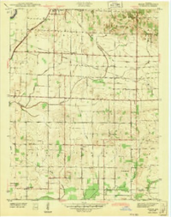
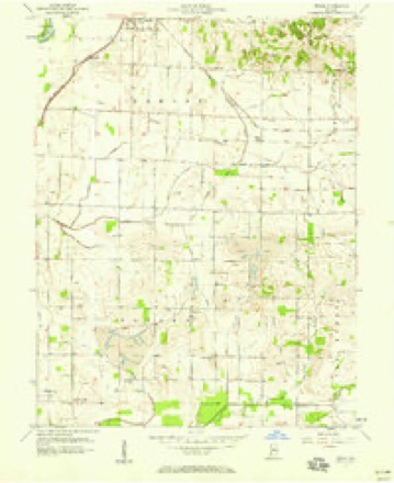
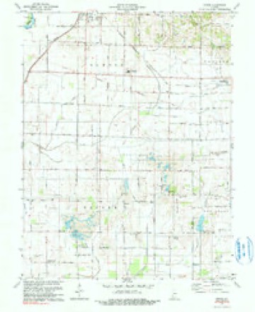
14 topographic sheets cover this place, the earliest surveyed in 1943 and the latest in 1986. It stands in Bogard Township. It lies in ZIP code area 47568. The Survey maps it on the Epsom quadrangle.
On record in Epsom
Buildings and businesses the archive holds for this place. Each opens its own page, with the source record it came from.
On the National Register within a mile 1 record
The National Register names another town for these. They stand within one mile of this settlement's coordinate.
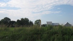 McCall Family Farmsteadlisted 2013 · 0.9 miles away
Topographic sheets covering this place
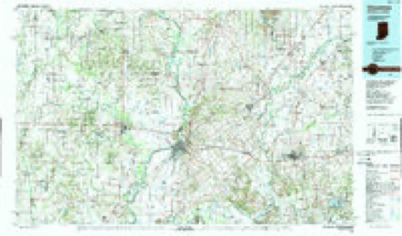
7 surveys from 14 printed sheetsMatched by testing this settlement's coordinate against the published boundary of every sheet in the United States Geological Survey's historical collection. Each opens the scanned sheet at the Survey.
- 1943 USGS Epsom quadrangle1:24000, 2 printings
- 1956 USGS Vincennes quadrangle1:250000, 4 printings
- 1957 USGS Epsom quadrangle1:24000
- 1957 USGS Vincennes quadrangle1:250000
- 1958 USGS Vincennes quadrangle1:250000, 2 printings
- 1978 USGS Epsom quadrangle1:24000, 2 printings
- 1986 USGS Vincennes quadrangle1:100000, 2 printings



In the county-history sources
6,788 words on this townshipThe county-history sources names this settlement in its chapter on Bogard Township. These are the passages that mention it, exactly as the scans read.
Machine-read from a century-old scan, so expect the errors a machine makes: misspelled names, dropped words, stray characters.
Read the whole chapter on Bogard Township - it names this place 3 more 3 times.
Mines and quarries near this place
1 within 5 milesRegional context, not property-specific evidence. The federal mineral resources record lists 1 working within 5 miles of Epsom: 1 past producer. None of them still produces. What was taken out: Sand and Gravel, Construction. Distance is straight-line from the map coordinates, so a quarry counted here may appear on a neighbouring settlement's page as well.
| Where | Site | Commodity | Status | Recorded |
|---|---|---|---|---|
| Jackson Gravel Pit | Sand and Gravel, Construction | Past Producer |
Storms near this place
7 since 2006Regional context, not property-specific evidence. The National Weather Service names Epsom in 7 storm reports between 2006 and 2023: 4 thunderstorm wind, 2 hail, 1 flash flood. No death or injury is recorded in these reports. Each account below is quoted exactly as the forecast office filed it, from the NOAA Storm Events Database, and each date opens the federal record of that event.
| When | Event | Place named | Harm | What the report says |
|---|---|---|---|---|
| May 2023 | Thunderstorm Wind | Epsom | $100,000 | Thunderstorm downburst winds breached the wall of a barn, dislodging the remaining walls and blowing them outward from the concrete block foundation, with roofing sections then carried by the wind. |
| January 2013 | Thunderstorm Wind | Epsom | $100,000 | Cornelius Farms lost a machine shed containing combines, a planter, a bean drill, and other farm equipment. Debris was strewn out into a field east of the farm. |
| June 2006 | Thunderstorm Wind | Epsom | $30,000 | A roof was blown off of a machine shed, and grain bins were destroyed on a farm near Epsom. |
| June 2016 | Thunderstorm Wind | Epsom | $10,000 | Trees were downed and minor damage occurred to a farm's machine shed due to damaging thunderstorm wind gusts. This report was relayed by the media. |
| May 2008 | Flash Flood | Epsom | $3,000 | Water was flowing over County Road 750 North at Saint Michaels Road. The flash flooding was caused by heavy rain. |
| August 2011 | Hail | Epsom | - | Quarter sized hail fell for approximately five minutes in an area about 1.5 miles SSW of the North Daviess High School. |
| May 2011 | Hail | Epsom | - | no account filed |
Nearest settlements
The eight closest, with where each one stands in the county. Distances are straight-line, computed from the Geographic Names Information System coordinates.
| Map | Place | Distance | Sheets |
|---|---|---|---|
| Cornettsville | 3.2 miles | 14 | |
| Plainville | 4.9 miles | 14 | |
| Odon | 5.5 miles | 13 | |
| Raglesville | 5.5 miles | 13 | |
| Elnora | 6.5 miles | 14 | |
| Capehart | 7.5 miles | 15 | |
| Lettsville | 7.5 miles | 15 | |
| Graham | 8.3 miles | 15 |
Provenance
This settlement is recorded in the Geographic Names Information System as feature 434222. The sheet list is computed by point-in-boundary test against the United States Geological Survey's historical topographic inventory. Both are works of the United States government and carry no copyright under 17 U.S.C. 105.
Mines and quarries. USGS Mineral Resources Data System (MRDS) https://mrdata.usgs.gov/mrds/ A work of the United States government, no copyright under 17 U.S.C. 105.
Storms. NOAA National Centers for Environmental Information, Storm Events Database https://www.ncei.noaa.gov/stormevents/ A work of the United States government, no copyright under 17 U.S.C. 105. Narratives are quoted verbatim from the National Weather Service report and are not edited or summarised.