 Block
Germantown, Indiana
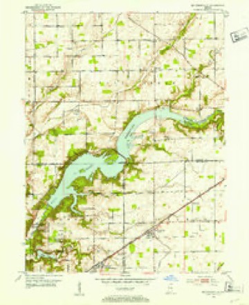
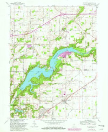
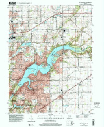
12 topographic sheets cover this place, the earliest surveyed in 1952 and the latest in 1998. It stands in Lawrence Township. It lies in ZIP code area 46236. It stands on North Fork Dry Branch. The Survey maps it on the McCordsville quadrangle.
Topographic sheets covering this place
6 surveys from 12 printed sheetsMatched by testing this settlement's coordinate against the published boundary of every sheet in the United States Geological Survey's historical collection. Each opens the scanned sheet at the Survey.
- 1952 USGS Mc Cordsville quadrangle1:24000, 2 printings
- 1953 USGS Cincinnati quadrangle1:250000, 3 printings
- 1957 USGS Cincinnati quadrangle1:250000
- 1962 USGS Mc Cordsville quadrangle1:24000, 3 printings
- 1986 USGS New Castle quadrangle1:100000, 2 printings
- 1998 USGS Mc Cordsville quadrangle1:24000



In the county-history sources
25,786 words on this townshipHistory of Indianapolis and Marion County, Indiana, published 1884 names this settlement in its chapter on Lawrence Township. These are the passages that mention it, exactly as the scans read.
George Long was a native of England. He came to this township with his family about 1827, and entered one hundred and sixty acres, now owned by Dr. Jonathan Conkle. He lived there ten or twelve years and went to Missouri, where he now resides. He is a tailor by trade, but was a farmer when here, and cleared a large farm. Two of his daughters live here. Elizabeth, the wife of Joseph Swarm, lives in Centre township, and Ellen, the widow of Simeon Mock, lives near Germantown.
Passage source: History of Indianapolis and Marion County, Indiana, published 1884.
John Flannigan, the second eldest child of Francis Flannigan, came to the township in October, 1824, and located on eighty acres now owned by John Johnson. He afterwards married Elizabeth North, farmed four years, and worked in the saw-mills at Millersville, Germantown, Cicero, and other places. He died at Jesse Klepfer's, in this township, about 1860, aged fifty-seven years. He was buried at Hopewell. He had eight children, - four sons and four daughters. Three of the former and one of the latter are living.
Passage source: History of Indianapolis and Marion County, Indiana, published 1884.
The early roads of the township were almost impassable, and during the spring of the year many of the present ones are nearly so. The first road laid out in the township was what is now known as the old Pendleton State road, and which was at one time a noted Indian trail. This route was used before the settlement of the township by people traveling between Indianapolis and Anderson. It was " cut out" by the voters of the township during the winter of 1825-26. Before that time it was simply a track that wound around between the trees and brush. Samuel Morrow was the supervisor. Beginning at a point where the toll-gate stands northeast of Millersville, they worked in a northeasterly direction, and meet a gang of men engaged in a similar work, from Pendleton, at a point on the county line west of where Germantown now is. Several years ago the township received from the government what was termed the three per cent, fund, and with it crosslaid the highways wherever needed.
Passage source: History of Indianapolis and Marion County, Indiana, published 1884.
Machine-read from a century-old scan, so expect the errors a machine makes: misspelled names, dropped words, stray characters.
Read the whole chapter on Lawrence Township - it names this place 5 more 5 times.
Mines and quarries near this place
3 within 5 milesRegional context, not property-specific evidence. The federal mineral resources record lists 3 workings within 5 miles of Germantown: 3 producers. All of them still produce. What was taken out: Sand and Gravel, Construction, Stone, Crushed/Broken. Distance is straight-line from the map coordinates, so a quarry counted here may appear on a neighbouring settlement's page as well.
| Where | Site | Commodity | Status | Recorded |
|---|---|---|---|---|
| Mccordsville Quarry | Stone, Crushed/Broken | Producer | ||
| Fishers Sand Plant | Sand and Gravel, Construction | Producer | ||
| Mccordsville Pit | Sand and Gravel, Construction | Producer |
Nearest settlements
The eight closest, with where each one stands in the county. Distances are straight-line, computed from the Geographic Names Information System coordinates.
| Map | Place | Distance | Sheets |
|---|---|---|---|
| Rainbow Highlands | 3.2 miles | 12 | |
| Fall Creek Highland | 3.2 miles | 12 | |
| Indian Lake | 3.6 miles | 12 | |
| Oaklandon | 3.7 miles | 12 | |
| Trilobi Hills | 4.3 miles | 12 | |
| Fairwood Hills | 5.4 miles | 19 | |
| Vertland | 5.5 miles | 19 | |
| Castleton | 5.9 miles | 19 |
Provenance
This settlement is recorded in the Geographic Names Information System as feature 452154. The sheet list is computed by point-in-boundary test against the United States Geological Survey's historical topographic inventory. Both are works of the United States government and carry no copyright under 17 U.S.C. 105.
Mines and quarries. USGS Mineral Resources Data System (MRDS) https://mrdata.usgs.gov/mrds/ A work of the United States government, no copyright under 17 U.S.C. 105.