 Block
Hardinsburg, Indiana
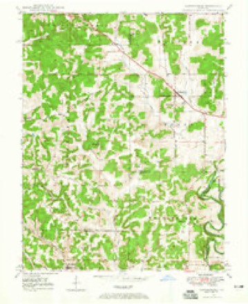
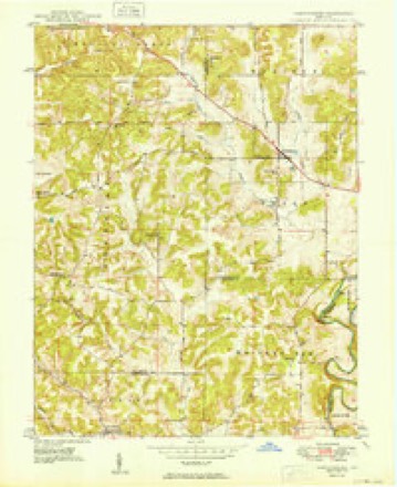
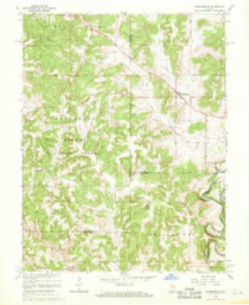
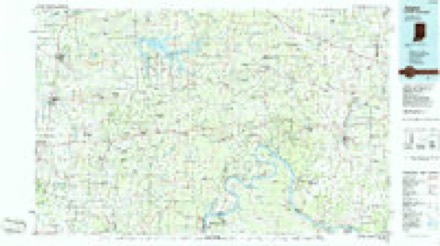
15 topographic sheets cover this place, the earliest surveyed in 1947 and the latest in 1994. It stands in Posey Township. It lies in ZIP code area 47125. It lies near Ragroad Hill. The Survey maps it on the Hardinsburg quadrangle. 222 people lived here at the 2020 count. It stands 689 feet above sea level.
Population over time
2 figuresHardinsburg fell from 248 to 222 between 2010 and 2020. These are the recorded population figures Wikidata holds for this place, reached through the Geographic Names Information System number this page is keyed on rather than by name, so they belong to this place and not to another of the same name. Most are census counts, but not all are: an early figure may be a founding or settlement estimate, and an estimate published within five years of a census is left out. The change column is computed, and is left blank where more than 20 years separate a figure from the one before it, because a gap that long is not a change between two counts.
| Year | People | Change |
|---|---|---|
| 2010 | 248 | |
| 2020 | 222 | -26 (-10%) |
Topographic sheets covering this place
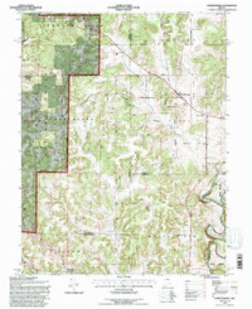
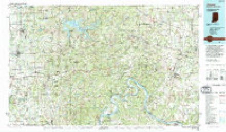
9 surveys from 15 printed sheetsMatched by testing this settlement's coordinate against the published boundary of every sheet in the United States Geological Survey's historical collection. Each opens the scanned sheet at the Survey.
- 1947 USGS Hardinsburg quadrangle1:24000
- 1949 USGS Hardinsburg quadrangle1:24000, 2 printings
- 1956 USGS Vincennes quadrangle1:250000, 4 printings
- 1957 USGS Vincennes quadrangle1:250000
- 1958 USGS Vincennes quadrangle1:250000, 2 printings
- 1966 USGS Hardinsburg quadrangle1:24000, 2 printings
- 1986 USGS Jasper quadrangle1:100000
- 1993 USGS Hardinsburg quadrangle1:24000
- 1994 USGS Jasper quadrangle1:100000



In the county-history sources
2,575 words on this townshipCentennial History of Washington County, Indiana : Its People, Industies and Institutions : with Biographical Sketches of Representative Citizens and Genealogical Records of Many of the Old Families, published 1916 names this settlement in its chapter on Posey Township. These are the passages that mention it, exactly as the scans read.
The old Vincennes and Ohio Falls trail passed through Posey township, and it was along this trail the hrst white men located within the present borders of the county. Thomas Hopper settled a short distance north of Hardinsburg in 1803. He was probably the only white man living between the Ohio river and Vincennes. He had no neighbors but Indians and managed to keep on good terms with them. Thomas Poison was the first settler in the township, locating near where the old town of Fredericksburg was mapped out. He came in 1805, when he. Hopper and Spurgeon, up near the salt lick, east of Salem, were probably the only ones living within the present borders of the county. Poison's cabin was only a short distance from the trail, and he was kept from getting lonesome by occasional bands of Indians, soldiers and adventurers who passed over the trail, bound either for the Falls or Ft. Vincennes.
Passage source: Centennial History of Washington County, Indiana : Its People, Industies and Institutions : with Biographical Sketches of Representative Citizens and Genealogical Records of Many of the Old Families, published 1916.
Jacob Doan, a Revolutionary soldier, located on Honey creek in 1809, where a squatter had opened up a few acres of land the previous year and left it. He was the first permanent settler on that creek. Jacob and Abram Colglazier settled in iSio. and James McGrew in 1811. Isaac Loften came early in the spring of 1810, settling near the forks of the river. Aaron Rollins settled south of Hardinsburg in 1815; Jacob Horner came in 1816 and paid a man nanit-d Linthecum twenty-five dollars for his claim and started a ta\ein. Quite a number of travelers stopped with him, and when the pike was completed he moved up to it. Peter McMikel, Thomas Bentley and Evans Hinton were among the early settlers at Fredericksburg. Mc- Mikel "was a shoemaker and went from house to house plying his trade, as was the custom of the day. E. C. Hunter came in 1816 and settled a half mile below McPheeters' mill. Jacob Harris and William Cathcart settled a few miles down the river from the trail. Antony Denner was an early settler, and was so tall that they said of him that he could wade the Ohio without wetting his shot pouch.
Passage source: Centennial History of Washington County, Indiana : Its People, Industies and Institutions : with Biographical Sketches of Representative Citizens and Genealogical Records of Many of the Old Families, published 1916.
The New Albany and A'incennes turnpike was projected about 1835 and completed through the township in 1838-3Q. This made both Hardinsburg and Fredericksburg good business centers, and farmers could cart their surplus products to a ready market at the Falls. It usually took four davs to make the trip and disjiose of their load. That section of countrv was noted for its "quarter horses." Horse racing was indulged in most every Saturday, and considerable money e-\changed hands on the results. .\ (|uarter mile straight track was graded on .\l\in r,ro\e's farm, afterwanls owned by N. H. Cadle. Enthusiastic horsemen for fift\" miles round would get together at this track and stake considerable money on their favorites. L'pon one occasion a S]iortsman from Kentuck}- came out to rejilenish hi'; purse by putting his thoroughbred against some of the "backwcKMls s.-nil)^," but before he got away he left o\-er a thousand dollars with the local hnrsenien.
Passage source: Centennial History of Washington County, Indiana : Its People, Industies and Institutions : with Biographical Sketches of Representative Citizens and Genealogical Records of Many of the Old Families, published 1916.
Machine-read from a century-old scan, so expect the errors a machine makes: misspelled names, dropped words, stray characters.
Read the whole chapter on Posey Township - it names this place 3 more 3 times.
Fires near this place
4 since 2001Regional context, not property-specific evidence. The federal wildfire occurrence database lists 4 fires within 5 miles of Hardinsburg between 2001 and 2014, burning about 55 acres in total. None started naturally. None was recorded as arson. Distance is straight-line from the map coordinates, so a fire counted here may appear on a neighbouring settlement's page as well.
| Reported cause | Fires |
|---|---|
| Debris and open burning | 4 |
The most recent of them, most recent first, with the day each was reported and the service that recorded it.
| Date | Cause | Size | Reported by | Name on the report |
|---|---|---|---|---|
| 21 March 2014 | Debris and open burning | 11 acres | Hoosier National Forest | STAMPER |
| 28 February 2004 | Debris and open burning | 30 acres | Hoosier National Forest | WASHINGTON FIRE |
| 12 November 2001 | Debris and open burning | 2.0 acres | Hoosier National Forest | OAKGROVE |
| 28 October 2001 | Debris and open burning | 12 acres | Hoosier National Forest | COMPTON CREEK |
Settlements close enough to share some of these fires:
Storms near this place
4 since 2001Regional context, not property-specific evidence. The National Weather Service names Hardinsburg in 4 storm reports between 2001 and 2024: 4 thunderstorm wind. No death or injury is recorded in these reports. Each account below is quoted exactly as the forecast office filed it, from the NOAA Storm Events Database, and each date opens the federal record of that event.
| When | Event | Place named | Harm | What the report says |
|---|---|---|---|---|
| March 2024 | Thunderstorm Wind | Hardinsburg | - | There was a tree down on State Road 66 near Purtle Road. |
| August 2023 | Thunderstorm Wind | Hardinsburg | - | There were trees down over the road. |
| June 2010 | Thunderstorm Wind | Hardinsburg | - | A roof was blown off a barn on Hardinsburg-Livonia Rd. |
| October 2001 | Thunderstorm Wind | Hardinsburg | - | no account filed |
Nearest settlements
The eight closest, with where each one stands in the county. Distances are straight-line, computed from the Geographic Names Information System coordinates.
| Map | Place | Distance | Sheets |
|---|---|---|---|
| Fayetteville | 1.1 miles | 15 | |
| Fredericksburg | 5.1 miles | 14 | |
| Rosebud | 5.8 miles | 12 | |
| Organ Springs | 6.1 miles | 14 | |
| Livonia | 6.6 miles | 11 | |
| Becks Mill | 8.3 miles | 12 | |
| Shorts Corner | 9.8 miles | 14 | |
| Claysville | 11.2 miles | 11 |
Elsewhere
Matched on this settlement's Geographic Names Information System number rather than its name, so it cannot be a different place of the same name in another state.
| Wikipedia article on Hardinsburg | An encyclopaedic summary. Its text is share-alike, so it is linked here rather than copied. |
| Wikidata item Q2130575 | The structured record the population and elevation above come from. Public domain (CC0). |
Provenance
This settlement is recorded in the Geographic Names Information System as feature 451013. The sheet list is computed by point-in-boundary test against the United States Geological Survey's historical topographic inventory. Both are works of the United States government and carry no copyright under 17 U.S.C. 105.
Wildfire. Short, Karen C. 2022. Spatial wildfire occurrence data for the United States, 1992-2020 [FPA_FOD_20221014]. 6th Edition. Fort Collins, CO: Forest Service Research Data Archive. https://doi.org/10.2737/RDS-2013-0009.6 Collected with United States Government funding and usable without additional permissions or fees.
Storms. NOAA National Centers for Environmental Information, Storm Events Database https://www.ncei.noaa.gov/stormevents/ A work of the United States government, no copyright under 17 U.S.C. 105. Narratives are quoted verbatim from the National Weather Service report and are not edited or summarised.