 Block
Hyndsdale, Indiana
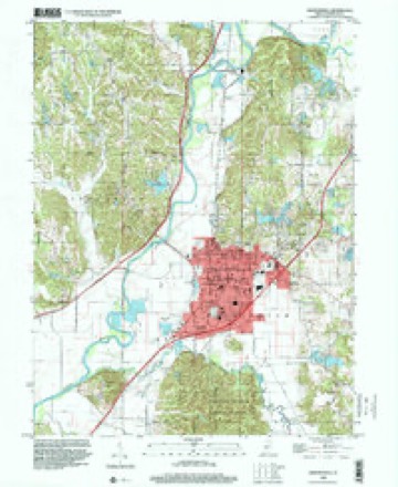
18 topographic sheets cover this place, the earliest surveyed in 1942 and the latest in 1998. It stands in Jefferson Township. It lies in ZIP code area 46151. It stands on Lambs Creek. The Survey maps it on the Martinsville quadrangle. It stands 604 feet above sea level.
On record in Hyndsdale
Buildings and businesses the archive holds for this place. Each opens its own page, with the source record it came from.
On the National Register within a mile 1 record
The National Register names another town for these. They stand within one mile of this settlement's coordinate.
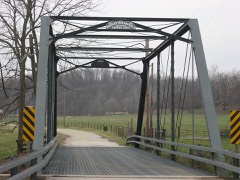 Lamb's Creek Bridgelisted 2000 · 0.7 miles away
Topographic sheets covering this place
9 surveys from 18 printed sheetsMatched by testing this settlement's coordinate against the published boundary of every sheet in the United States Geological Survey's historical collection. Each opens the scanned sheet at the Survey.
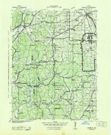
- 1942 USGS Franklin quadrangle1:125000
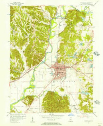
- 1953 USGS Indianapolis quadrangle1:250000, 4 printings
- 1955 USGS Martinsville quadrangle1:24000
- 1956 USGS Indianapolis quadrangle1:250000
- 1957 USGS Indianapolis quadrangle1:250000, 2 printings
- 1962 USGS Indianapolis quadrangle1:250000
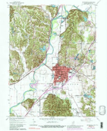
- 1965 USGS Martinsville quadrangle1:24000, 4 printings
- 1986 USGS Bloomington quadrangle1:100000, 3 printings
- 1998 USGS Martinsville quadrangle1:24000





In the county-history sources
6,306 words on this townshipCounties of Morgan, Monroe, and Brown, Indiana. Historical and Biographical, published 1884 names this settlement in its chapter on Jefferson Township. These are the passages that mention it, exactly as the scans read.
The first schools were taught in Lamb's Bottom. Several had been started there before any other portion of the township was thus represented. A log cabin about a mile and a half southwest of Hyndsdale was transformed into a temple of learning about the year 1834, and a session was taught therein by some man whose name is no longer remembered. Another school was started southwest of that point, near the township line, about the same time. It has been stated that school was taught in the twenties in the vicinity of Hyndsdale, but if so the facts could not be ascertained. During the forties, several schools were established in the central and northern parts of the township. In almost every case, log cabins, with huge fire-places, stick and clay chimneys, rude clapboard seats and desks, were the first schoolhouses. The books were extremely limited, and early teachers were obliged to resort to slates and blackboards of the rudest description in order that the scholars might have the required advantages. Sometimes one book served a whole class, being passed along as it was needed. In 1850, there were six established schools. Now there are eight.
Passage source: Counties of Morgan, Monroe, and Brown, Indiana. Historical and Biographical, published 1884.
Machine-read from a century-old scan, so expect the errors a machine makes: misspelled names, dropped words, stray characters.
Mines and quarries near this place
8 within 5 milesRegional context, not property-specific evidence. The federal mineral resources record lists 8 workings within 5 miles of Hyndsdale: 5 past producers, 3 producers. 3 still produce. What was taken out: Sand and Gravel, Construction, Fire Clay (Refractory), Clay, Stone. Distance is straight-line from the map coordinates, so a quarry counted here may appear on a neighbouring settlement's page as well.
| Where | Site | Commodity | Status | Recorded |
|---|---|---|---|---|
| Martinsville Mine | Clay, Stone | Producer | ||
| Martinsville Brick Plant | Fire Clay (Refractory) | Past Producer | ||
| Martinsville Plant | Fire Clay (Refractory) | Past Producer | ||
| Thomas Moulding Plant | Fire Clay (Refractory) | Past Producer | ||
| Jones Sand and Gravel Pit | Sand and Gravel, Construction | Past Producer | ||
| Martinsville Aggregate Dredge | Sand and Gravel, Construction | Past Producer | ||
| Morgan Co. Hwy. Dept. | Sand and Gravel, Construction | Producer | ||
| Morgan County Plant | Sand and Gravel, Construction | Producer |
Nearest settlements
The eight closest, with where each one stands in the county. Distances are straight-line, computed from the Geographic Names Information System coordinates.
| Map | Place | Distance | Sheets |
|---|---|---|---|
| Browns Crossing | 1.3 miles | 17 | |
| McDaniel | 2.3 miles | 18 | |
| Maxwell | 2.5 miles | 18 | |
| Champlin Meadows | 2.6 miles | 18 | |
| Prather | 3.0 miles | 18 | |
| Potato Mound | 3.1 miles | 17 | |
| Martinsville | 3.1 miles | 18 | |
| Laveianan Court | 3.5 miles | 18 |
Elsewhere
Matched on this settlement's Geographic Names Information System number rather than its name, so it cannot be a different place of the same name in another state.
| Wikipedia article on Hyndsdale | An encyclopaedic summary. Its text is share-alike, so it is linked here rather than copied. |
| Wikidata item Q5956962 | The structured record the population and elevation above come from. Public domain (CC0). |
Provenance
This settlement is recorded in the Geographic Names Information System as feature 436675. The sheet list is computed by point-in-boundary test against the United States Geological Survey's historical topographic inventory. Both are works of the United States government and carry no copyright under 17 U.S.C. 105.
Mines and quarries. USGS Mineral Resources Data System (MRDS) https://mrdata.usgs.gov/mrds/ A work of the United States government, no copyright under 17 U.S.C. 105.