 Block
McDaniel, Indiana
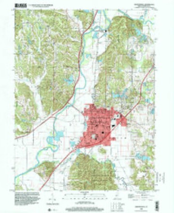
18 topographic sheets cover this place, the earliest surveyed in 1942 and the latest in 1998. It stands in Washington Township. It lies in ZIP code area 46151. It stands on Indian Creek. The Survey maps it on the Martinsville quadrangle. It stands 597 feet above sea level.
On record in McDaniel
Buildings and businesses the archive holds for this place. Each opens its own page, with the source record it came from.
On the National Register within a mile 1 record
The National Register names another town for these. They stand within one mile of this settlement's coordinate.
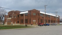 Martinsville High School Gymnasiumlisted 1981 · 0.9 miles away
Topographic sheets covering this place
9 surveys from 18 printed sheetsMatched by testing this settlement's coordinate against the published boundary of every sheet in the United States Geological Survey's historical collection. Each opens the scanned sheet at the Survey.
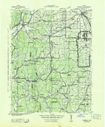
- 1942 USGS Franklin quadrangle1:125000
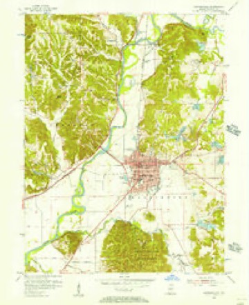
- 1953 USGS Indianapolis quadrangle1:250000, 4 printings
- 1955 USGS Martinsville quadrangle1:24000
- 1956 USGS Indianapolis quadrangle1:250000
- 1957 USGS Indianapolis quadrangle1:250000, 2 printings
- 1962 USGS Indianapolis quadrangle1:250000
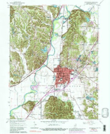
- 1965 USGS Martinsville quadrangle1:24000, 4 printings
- 1986 USGS Bloomington quadrangle1:100000, 3 printings
- 1998 USGS Martinsville quadrangle1:24000





In the county-history sources
36,316 words on this townshipCounties of Morgan, Monroe, and Brown, Indiana. Historical and Biographical, published 1884 names this settlement in its chapter on Washington Township. These are the passages that mention it, exactly as the scans read.
The old settler, Reuben Stepp, bought land on Section 21 in 1835, and became a prominent resident of the township He also bought a small tract on Section 6 in 1836. William Stewart bought on Section 2 in 1837, and Henry Hicks on the same section the same year. George Downey obtained a tract on the same section in 1836, and bought more on Section 3 the following year. John M. Thomas and Spencer McDaniel secured farms on Section 4 in 1837. Valentine Hacker and G. Percifield bought in 1836 on Section 6, and Thomas M. Graham in 1837 on Section 8 ; David Wampler and Savoy Stepps secured tracts on Section 9 in 1837 ; and William McMilleh and Joseph Baugh on Section 14 in the same year. William McOay bought on Section 19 during the same year. Michael Fleener bought on Section 85 at an early day. His relatives and himself became prominent in Marion and Benton Townships. John J. Graham became the owner of a piece of land on Seccion 3 in 1838, and George M. Fry on Section 2 in 1839 ; William Woodall bought on Section 36 in 1839. These were all the entries of land prior to 1840. The decade of the forties saw but little increase comparatively in the number of permanent and substantial residents. During the fifties, however, nearly all of the land in the township was bought by men who were, or who became, actual residents of the township. In 1841, the following well-known men resided in the township, and may be called the pioneers of Marion ; Jehu Buckner, who owned land on Sections 6, 7, and 10, and who paid a State and county tax of $13.22, the highest in the township ; Thomas Bates, on Section 15; Absalom Fulford, on Section 4; John Goodwin, on Section 18 ; J. J. and Samuel Graham, on Section 7 ; Abraham Goodsey, on Section 10; Ezekiel Hendrickson, on Sections 22 and 27 ; Thomas Hendrickson, on Section 17; Valentine Hacker, on Section 6, who paid a tax of $9.88 ; Reuben Stepp on Sections 21 and 27; Conrad and Adam Wall, on Section 21, and David Wampler on Section 9.
Passage source: Counties of Morgan, Monroe, and Brown, Indiana. Historical and Biographical, published 1884.
Machine-read from a century-old scan, so expect the errors a machine makes: misspelled names, dropped words, stray characters.
Mines and quarries near this place
9 within 5 milesRegional context, not property-specific evidence. The federal mineral resources record lists 9 workings within 5 miles of McDaniel: 5 past producers, 4 producers. 4 still produce. What was taken out: Sand and Gravel, Construction, Fire Clay (Refractory), Clay, Stone, Clay. Distance is straight-line from the map coordinates, so a quarry counted here may appear on a neighbouring settlement's page as well.
| Where | Site | Commodity | Status | Recorded |
|---|---|---|---|---|
| Cardinal Clay Products Inc. | Clay | Producer | ||
| Martinsville Mine | Clay, Stone | Producer | ||
| Martinsville Brick Plant | Fire Clay (Refractory) | Past Producer | ||
| Martinsville Plant | Fire Clay (Refractory) | Past Producer | ||
| Thomas Moulding Plant | Fire Clay (Refractory) | Past Producer | ||
| Jones Sand and Gravel Pit | Sand and Gravel, Construction | Past Producer | ||
| Martinsville Aggregate Dredge | Sand and Gravel, Construction | Past Producer | ||
| Morgan Co. Hwy. Dept. | Sand and Gravel, Construction | Producer | ||
| Morgan County Plant | Sand and Gravel, Construction | Producer |
Nearest settlements
The eight closest, with where each one stands in the county. Distances are straight-line, computed from the Geographic Names Information System coordinates.
| Map | Place | Distance | Sheets |
|---|---|---|---|
| Champlin Meadows | 0.4 miles | 18 | |
| Laveianan Court | 1.2 miles | 18 | |
| Martinsville | 1.3 miles | 18 | |
| Maxwell | 1.9 miles | 18 | |
| Fewell Rhoades | 2.3 miles | 18 | |
| Hyndsdale | 2.3 miles | 18 | |
| Elk | 2.4 miles | 18 | |
| Prather | 2.5 miles | 18 |
Elsewhere
Matched on this settlement's Geographic Names Information System number rather than its name, so it cannot be a different place of the same name in another state.
| Wikidata item Q30625377 | The structured record the population and elevation above come from. Public domain (CC0). |
Provenance
This settlement is recorded in the Geographic Names Information System as feature 438849. The sheet list is computed by point-in-boundary test against the United States Geological Survey's historical topographic inventory. Both are works of the United States government and carry no copyright under 17 U.S.C. 105.
Mines and quarries. USGS Mineral Resources Data System (MRDS) https://mrdata.usgs.gov/mrds/ A work of the United States government, no copyright under 17 U.S.C. 105.