 Block
Maxwell, Indiana
18 topographic sheets cover this place, the earliest surveyed in 1942 and the latest in 1998. It stands in Washington Township. It lies in ZIP code area 46151. It lies near Canada Hollow. The Survey maps it on the Martinsville quadrangle. It stands 610 feet above sea level.
Topographic sheets covering this place
9 surveys from 18 printed sheetsMatched by testing this settlement's coordinate against the published boundary of every sheet in the United States Geological Survey's historical collection. Each opens the scanned sheet at the Survey.
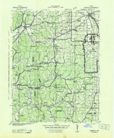
- 1942 USGS Franklin quadrangle1:125000
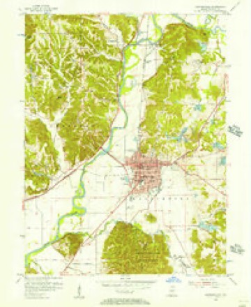
- 1953 USGS Indianapolis quadrangle1:250000, 4 printings
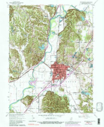
- 1955 USGS Martinsville quadrangle1:24000
- 1956 USGS Indianapolis quadrangle1:250000
- 1957 USGS Indianapolis quadrangle1:250000, 2 printings
- 1962 USGS Indianapolis quadrangle1:250000
- 1965 USGS Martinsville quadrangle1:24000, 4 printings
- 1986 USGS Bloomington quadrangle1:100000, 3 printings
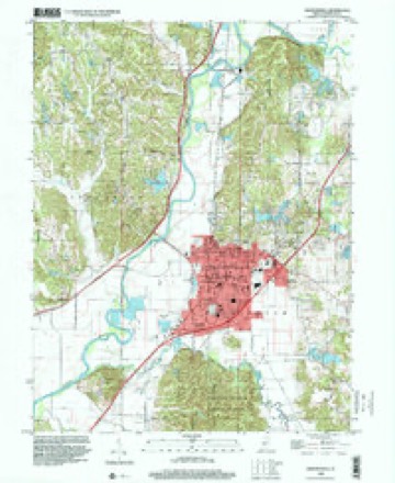
- 1998 USGS Martinsville quadrangle1:24000





In the county-history sources
36,316 words on this townshipCounties of Morgan, Monroe, and Brown, Indiana. Historical and Biographical, published 1884 names this settlement in its chapter on Washington Township. These are the passages that mention it, exactly as the scans read.
On the 9th of September, 1817, Moses Williams bought 160 acres on Section 7, and this was the first purchase in Salt Creek Township. Lowe and Lee bought 120 acres on Section 10, in 1818. On the 2d of August, 18^0, Elisha Pollard entered two quarters on Section 18, and during the same year Moses Williams entered another tract on Section 22, and John Huff on the same section. Williams also bought on Section 12, in 1821 and 1824. The following year Henry Wampler bought two tracts, one on Section 23, and the other on Section 27. John Huff also this year purchased a piece on the latter section, and Elisha Pollard on Section 6. James Matlock secured the next tract on Section 27, in 1822. John W. Lee bought on Section 11, in 1824, and J. 0. Howe on Section 12, in 1826. J. 0. Howe, Sr., bought 80 acres on Section 2, in 1824, and John Barnes on Section 10, in 1828. These were the only entries before the decade of thirties. Alexander Owens bought on Section 10, in 1832. In 1832, William Boruff entered a piece on Section 31, and .Jacob Stephens on Section 2 the following year. John Stephens bought a piece the latter year on Section 3. The following entries were made in 1836 : Samuel Smith on Section 3 ; Finney Courtney on Section 4 ; Henderson Myers on Section 4 ; Ambrose Miller, Aquilla Rogers and William Martin on Section 6 ; John McKissock on Section 7 ; Andrew Harshberger on Sectioii 8 ; J. 0. Howe on Section 11 ; Edward Walker and John Huff on Section 15 ; Jonathan Huntington on Section 17 ; George Johnson on Section 18 ; Thomas Ferguson on Section 19 ; Archibald Wilson on Section 21 ; Reuben Clark on Section 27 ; Samuel McCalla and George Johnson on Section 28 ; Thomas Ferguson and William Taylor on Section 30, the latter buying 125 acres ; Michael Wampler and David Killough on Section 31 ; James Wakefield on Section 32, and Archibald Wilson, Daniel Butcher and Aaron M. Wilson on Section 34. The following entries were made in 1837: W. W. Duncan on Section 4 ; W. D. Maxwell, Section 4 ; Garret Moore, Section 7 ; Isaac Bolinghouse, Section 9 ; Edward Walker, Section 15 ; Alexander Miller, same ; John Cherry, same ; John Armstrong, same ; Michael Wampler, Section 31 ; James Wakefield,' Section 31. In 1838, the foUow- , lowing entries were made: Charles M. Cunningham, Section 6 ; Samuel Curry, Section 7 ; Daniel McCaughan, Daniel Kilpatrick and James Gordon, Section 8 ; John Barnes, Section 10 ; Hamilton Gray, Section 21. In 1839, the following were the entries : Lankston Brummet, Section 4 ; Alexander Kerr, Section 6 ; Samuel Latimer, Section 8 ; Jonathan Huntington, Section 9 ; William Cabot, Section 17 ; George Johnson, Section 28 ; David Johnson, Section 28 ; John Campbell, Section 31 ; John Lucas, Section 33, and the same on Section 34. The above were the only entries of land in Salt Creek Township previous to the year 1840.
Passage source: Counties of Morgan, Monroe, and Brown, Indiana. Historical and Biographical, published 1884.
Machine-read from a century-old scan, so expect the errors a machine makes: misspelled names, dropped words, stray characters.
Mines and quarries near this place
7 within 5 milesRegional context, not property-specific evidence. The federal mineral resources record lists 7 workings within 5 miles of Maxwell: 4 past producers, 3 producers. 3 still produce. What was taken out: Fire Clay (Refractory), Sand and Gravel, Construction, Clay, Stone. Distance is straight-line from the map coordinates, so a quarry counted here may appear on a neighbouring settlement's page as well.
| Where | Site | Commodity | Status | Recorded |
|---|---|---|---|---|
| Martinsville Mine | Clay, Stone | Producer | ||
| Martinsville Aggregate Dredge | Sand and Gravel, Construction | Past Producer | ||
| Martinsville Brick Plant | Fire Clay (Refractory) | Past Producer | ||
| Martinsville Plant | Fire Clay (Refractory) | Past Producer | ||
| Morgan Co. Hwy. Dept. | Sand and Gravel, Construction | Producer | ||
| Morgan County Plant | Sand and Gravel, Construction | Producer | ||
| Thomas Moulding Plant | Fire Clay (Refractory) | Past Producer |
Nearest settlements
The eight closest, with where each one stands in the county. Distances are straight-line, computed from the Geographic Names Information System coordinates.
| Map | Place | Distance | Sheets |
|---|---|---|---|
| Prather | 0.6 miles | 18 | |
| Champlin Meadows | 1.7 miles | 18 | |
| McDaniel | 1.9 miles | 18 | |
| Laveianan Court | 2.4 miles | 18 | |
| Hyndsdale | 2.5 miles | 18 | |
| Browns Crossing | 3.0 miles | 17 | |
| Taggart Crossing | 3.0 miles | 18 | |
| Martinsville | 3.1 miles | 18 |
Elsewhere
Matched on this settlement's Geographic Names Information System number rather than its name, so it cannot be a different place of the same name in another state.
| Wikidata item Q6796062 | The structured record the population and elevation above come from. Public domain (CC0). |
Provenance
This settlement is recorded in the Geographic Names Information System as feature 438752. The sheet list is computed by point-in-boundary test against the United States Geological Survey's historical topographic inventory. Both are works of the United States government and carry no copyright under 17 U.S.C. 105.
Mines and quarries. USGS Mineral Resources Data System (MRDS) https://mrdata.usgs.gov/mrds/ A work of the United States government, no copyright under 17 U.S.C. 105.