 Block
Stringtown, Indiana
18 topographic sheets cover this place, the earliest surveyed in 1901 and the latest in 1986. It stands in Center Township. It lies in ZIP code area 47711. It stands on Little Pigeon Creek. The Survey maps it on the Evansville North quadrangle. It stands 479 feet above sea level.
Topographic sheets covering this place
9 surveys from 18 printed sheetsMatched by testing this settlement's coordinate against the published boundary of every sheet in the United States Geological Survey's historical collection. Each opens the scanned sheet at the Survey.
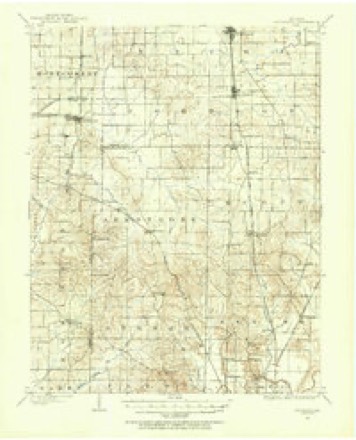
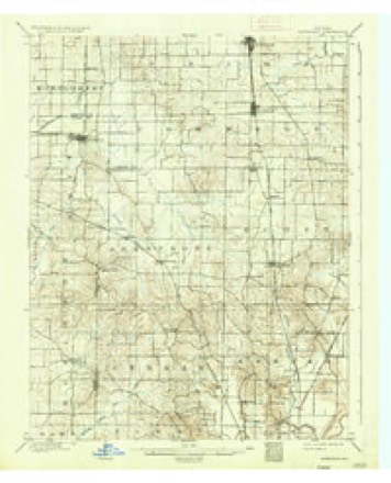
- 1901 USGS Haubstadt quadrangle1:62500
- 1903 USGS Haubstadt quadrangle1:62500, 2 printings
- 1903 USGS Patoka quadrangle1:125000, 2 printings
- 1956 USGS Vincennes quadrangle1:250000, 4 printings
- 1957 USGS Vincennes quadrangle1:250000
- 1958 USGS Vincennes quadrangle1:250000, 2 printings
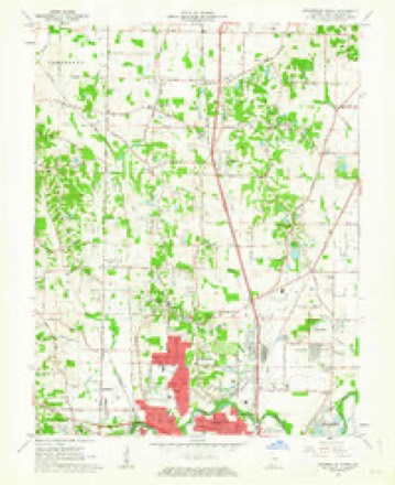
- 1961 USGS Evansville North quadrangle1:24000
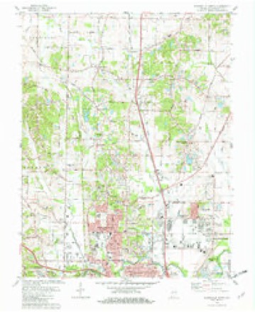
- 1981 USGS Evansville North quadrangle1:24000, 3 printings
- 1986 USGS Princeton quadrangle1:100000, 2 printings





In the county-history sources
16,414 words on this townshipHistory of Vanderburgh County, Indiana, from Earliest Times to the Present; with Biographical Sketches, Reminiscences, Etc, published 1889 names this settlement in its chapter on Center Township. These are the passages that mention it, exactly as the scans read.
Tozvns. - The principal village in the township is Mechanicsville, commonly called Stringtown, because its houses are strung along the road, and known officially as Zipp's postoffice. At a very early date, the point where the Petersburgh road left the State road was selected as a good place for a smithy and wagon shop. It was a busy place in early times, and when a postoffice was established, old man Zipp, then a resident of the town, was appointed postmaster, and thus gave the place its present official designation. At present there is a small general store, several blacksmith, wagon and carriage shops, but beyond this the place is unimportant. Mr. Ira Fairchild, a son of Col. Seth Fairchild, and grandson of Jonathan Fairchild, who came with his family from New York to Indiana in 1818, thus pictures the early days of this village: " In 1829 my father removed to Mechanicsville and opened a blacksmith's shop, which he carried on two or three years, when he purchased the old Hutson distillery, removed it to the State road and converted it into a smithy, which was a famous institution in its day. This house was built of heavy hewed logs, 30x40 feet square, had five forges and worked a force of seven or eight hands. All the livery horses of Evansville were brought there to be shod, and all sorts of iron work was done. At this time Mechanicsville seemed in a fair way to outstrip Evansville in the race for position. Thomas Smith had built a saw-mill on Pigeon creek, and on the hill where he afterward kept tavern he carried on a cabinet shop, working several hands, and supplied the demand for furniture for miles around. It was in this shop that that the distinguished John Ingle, jr., learned his trade, which he plied for several 3'ears industriously before he became an attorney at law. The village also boasted of a well-kept hotel, a wagon shop, and country store, and was withal a place of very considerable local importance."
Passage source: History of Vanderburgh County, Indiana, from Earliest Times to the Present; with Biographical Sketches, Reminiscences, Etc, published 1889.
Machine-read from a century-old scan, so expect the errors a machine makes: misspelled names, dropped words, stray characters.
Read the whole chapter on Center Township - it names this place 1 more 1 time.
Mines and quarries near this place
2 within 5 milesRegional context, not property-specific evidence. The federal mineral resources record lists 2 workings within 5 miles of Stringtown: 2 producers. All of them still produce. What was taken out: Stone, Sand and Gravel, Construction. Distance is straight-line from the map coordinates, so a quarry counted here may appear on a neighbouring settlement's page as well.
| Where | Site | Commodity | Status | Recorded |
|---|---|---|---|---|
| Evansville Mill | Sand and Gravel, Construction | Producer | ||
| Vanderburg Co. Hwy. Dept. | Stone | Producer |
Storms near this place
4 since 2014Regional context, not property-specific evidence. The National Weather Service names Stringtown in 4 storm reports between 2014 and 2022: 3 flash flood, 1 hail. No death or injury is recorded in these reports. Each account below is quoted exactly as the forecast office filed it, from the NOAA Storm Events Database, and each date opens the federal record of that event.
| When | Event | Place named | Harm | What the report says |
|---|---|---|---|---|
| April 2014 | Flash Flood | Stringtown | $350,000 | Widespread flash flooding of streets and highways occurred in Evansville. A couple of major highways were impassable. The Lloyd Expressway was impassable at Highway 41. Vehicles were abandoned. At the Perry Township fire station, floodwaters in the station were up to the bumpers of the trucks, about 3 to 4 feet deep. The parking area was washed away, exposing a natural gas line approximately three feet deep. A number of Evansville houses had major damage, such as basement walls collapsed. Small streams were well out of their banks. Water was shooting out of sewers. Water was flowing over numerous roads in Evansville. A storm total rainfall of 5.01 inches was reported along the Lloyd Expressway. An unofficial report of 6.00 inches was received on the southeast side of town. |
| September 2022 | Flash Flood | Stringtown | $75,000 | Widespread street flooding occurred in the Evansville metro area. The water was waist deep in spots. Some water rescues were conducted from stranded vehicles. In the large retail area on the east side of Evansville, Green River Road was flooded both north and south of the Lloyd Expressway. Flash flooding was reported all along Highway 41 in Evansville. The storm total rainfall was about three inches at rain gages in the county. |
| February 2018 | Flash Flood | Stringtown | $5,000 | A high water rescue was conducted due to a vehicle stuck in floodwaters on the north side of the Evansville metro area. Heavy rain caused a sinkhole to open up in the city of Evansville near the downtown area. Widespread rainfall rates around one-half inch per hour occurred on saturated ground. |
| April 2020 | Hail | Stringtown | - | Accumulating hail ranged from mostly pea to dime size, but some quarter-size hail was mixed in. The hail occurred three miles west of Melody Hill. |
Nearest settlements
The eight closest, with where each one stands in the county. Distances are straight-line, computed from the Geographic Names Information System coordinates.
| Map | Place | Distance | Sheets |
|---|---|---|---|
| Country Club Meadows | 0.6 miles | 18 | |
| Mechanicsville | 0.9 miles | 18 | |
| Kratzville | 1.3 miles | 18 | |
| Harwood | 1.4 miles | 18 | |
| Highland | 1.4 miles | 18 | |
| Erskine Station | 1.8 miles | 18 | |
| Knob Hill | 2.4 miles | 18 | |
| Melody Hill | 2.5 miles | 18 |
Elsewhere
Matched on this settlement's Geographic Names Information System number rather than its name, so it cannot be a different place of the same name in another state.
| Wikipedia article on Stringtown | An encyclopaedic summary. Its text is share-alike, so it is linked here rather than copied. |
| Wikidata item Q22059214 | The structured record the population and elevation above come from. Public domain (CC0). |
Provenance
This settlement is recorded in the Geographic Names Information System as feature 444269. The sheet list is computed by point-in-boundary test against the United States Geological Survey's historical topographic inventory. Both are works of the United States government and carry no copyright under 17 U.S.C. 105.
Mines and quarries. USGS Mineral Resources Data System (MRDS) https://mrdata.usgs.gov/mrds/ A work of the United States government, no copyright under 17 U.S.C. 105.
Storms. NOAA National Centers for Environmental Information, Storm Events Database https://www.ncei.noaa.gov/stormevents/ A work of the United States government, no copyright under 17 U.S.C. 105. Narratives are quoted verbatim from the National Weather Service report and are not edited or summarised.