 Block
Kniman, Indiana
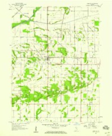
12 topographic sheets cover this place, the earliest surveyed in 1953 and the latest in 1992. It stands in Walker Township. It lies in ZIP code area 46392. The Survey maps it on the DeMotte quadrangle.
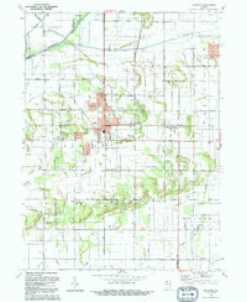
Topographic sheets covering this place
6 surveys from 12 printed sheetsMatched by testing this settlement's coordinate against the published boundary of every sheet in the United States Geological Survey's historical collection. Each opens the scanned sheet at the Survey.
- 1953 USGS Chicago quadrangle1:250000, 5 printings
- 1957 USGS Chicago quadrangle1:250000
- 1957 USGS DeMotte quadrangle1:24000, 3 printings
- 1984 USGS Kankakee quadrangle1:100000
- 1991 USGS Kankakee quadrangle1:100000
- 1992 USGS De Motte quadrangle1:24000


Storms near this place
4 since 2000Regional context, not property-specific evidence. The National Weather Service names Kniman in 4 storm reports between 2000 and 2026: 3 thunderstorm wind, 1 tornado. The reports record 3 injuries. Each account below is quoted exactly as the forecast office filed it, from the NOAA Storm Events Database, and each date opens the federal record of that event.
| When | Event | Place named | Harm | What the report says |
|---|---|---|---|---|
| March 2026 | Tornado (EF1) | Kniman | 3 hurt | An EF-1 tornado with estimated peak winds of 110 mph tracked across northern Jasper County south of Stoutsburg, Wheatfield, and Dunns Bridge. This tornado began about 2 miles south of Stoutsburg along CR W 1000 N, where there was damage noted to a solar panel field and power poles. The tornado moved east-northeast, causing damage to a farmstead on CR N 200 W. The most significant damage from this tornado was noted just south of Wheatfield on the 0-100 block of CR W 1100 N and on the 1100 block of State Route 49, where numerous homes sustained considerable damage and numerous trees and power poles were downed. The tornado continued to damage solar panel fields, trees, power poles, and farmsteads as it moved toward the Starke County line, passing through the unincorporated community of Tefft. The tornado dissipated before reaching Starke County on the 500 block of CR E 1350 N. Three minor injuries were reported with the tornado. |
| June 2025 | Thunderstorm Wind | Kniman | - | A photo was shared showing a tree or large branch downed along CR 500W near CR 1050 N. |
| October 2010 | Thunderstorm Wind | Kniman | - | Tree tops were snapped off. Trees and limbs were down on roads in Rustling Oaks Subdivision, near County Roads 1100 North and 400 West. |
| May 2000 | Thunderstorm Wind | Kniman | - | no account filed |
Nearest settlements
The eight closest, with where each one stands in the county. Distances are straight-line, computed from the Geographic Names Information System coordinates.
| Map | Place | Distance | Sheets |
|---|---|---|---|
| Virgie | 3.0 miles | 10 | |
| Deer Park | 3.4 miles | 12 | |
| Stoutsburg | 3.5 miles | 11 | |
| Kersey | 3.6 miles | 12 | |
| DeMotte | 4.8 miles | 12 | |
| Laura | 4.8 miles | 9 | |
| Moffitt | 5.2 miles | 10 | |
| Wheatfield | 5.5 miles | 11 |
Elsewhere
Matched on this settlement's Geographic Names Information System number rather than its name, so it cannot be a different place of the same name in another state.
| Wikipedia article on Kniman | An encyclopaedic summary. Its text is share-alike, so it is linked here rather than copied. |
| Wikidata item Q18343493 | The structured record the population and elevation above come from. Public domain (CC0). |
Provenance
This settlement is recorded in the Geographic Names Information System as feature 450447. The sheet list is computed by point-in-boundary test against the United States Geological Survey's historical topographic inventory. Both are works of the United States government and carry no copyright under 17 U.S.C. 105.
Storms. NOAA National Centers for Environmental Information, Storm Events Database https://www.ncei.noaa.gov/stormevents/ A work of the United States government, no copyright under 17 U.S.C. 105. Narratives are quoted verbatim from the National Weather Service report and are not edited or summarised.