 Block
Wheatfield, Indiana
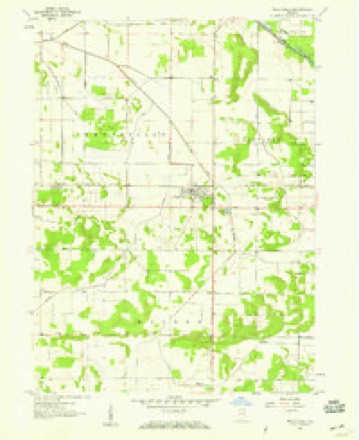
11 topographic sheets cover this place, the earliest surveyed in 1953 and the latest in 1992. It stands in Wheatfield Township. It lies in ZIP code area 46392. The Survey maps it on the Wheatfield quadrangle.
On record in Wheatfield
Buildings and businesses the archive holds for this place. Each opens its own page, with the source record it came from.
On the National Register 1 record
 Independence Methodist Churchlisted 1982
Topographic sheets covering this place
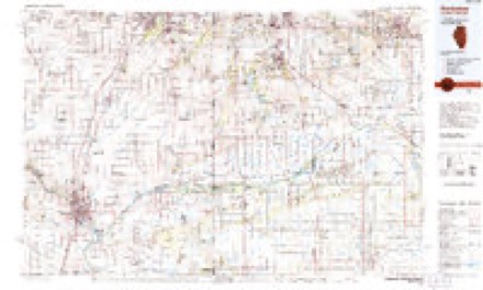
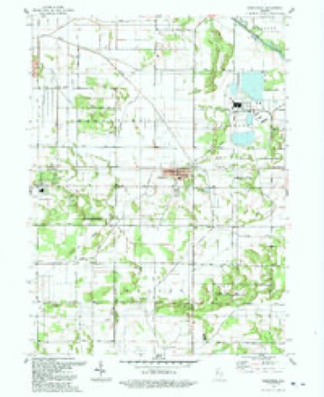
6 surveys from 11 printed sheetsMatched by testing this settlement's coordinate against the published boundary of every sheet in the United States Geological Survey's historical collection. Each opens the scanned sheet at the Survey.
- 1953 USGS Chicago quadrangle1:250000, 5 printings
- 1957 USGS Chicago quadrangle1:250000
- 1957 USGS Wheatfield quadrangle1:24000, 2 printings
- 1984 USGS Kankakee quadrangle1:100000
- 1991 USGS Kankakee quadrangle1:100000
- 1992 USGS Wheatfield quadrangle1:24000



Storms near this place
31 since 1998Regional context, not property-specific evidence. The National Weather Service names Wheatfield in 31 storm reports between 1998 and 2026: 25 thunderstorm wind, 6 hail. No death or injury is recorded in these reports. Each account below is quoted exactly as the forecast office filed it, from the NOAA Storm Events Database, and each date opens the federal record of that event.
| When | Event | Place named | Harm | What the report says |
|---|---|---|---|---|
| July 2007 | Thunderstorm Wind | Wheatfield | $5,000 | Two trees and powerlines blown down. |
| April 2011 | Thunderstorm Wind | Wheatfield | $1,000 | A power pole and its wires were reported down in the town of Wheatfield. |
| April 2026 | Thunderstorm Wind | Wheatfield | - | A fence was damaged and a large playground set rolled out of a yard in Wheatfield. |
| June 2025 | Thunderstorm Wind | Wheatfield | - | Numerous tree and power lines were reported down along a corridor from CR 100E to CR 400 N east of Wheatfield between CR 1300N and IN-10. |
| July 2024 | Thunderstorm Wind | Wheatfield | - | Power lines were blown down across Route 49, which was closed. |
| March 2023 | Thunderstorm Wind | Wheatfield | - | A tree had been blown down across W County Road 1000 N east of N County Road 200 W southwest of Wheatfield. Wind magnitude and time were estimated based on radar. |
| July 2022 | Thunderstorm Wind | Wheatfield | - | A wind gust to 67 mph was measured with a mobile anemometer at the intersection of State Road 10 and Route 49. |
| July 2022 | Thunderstorm Wind | Wheatfield | - | Tree and power line damage was reported across Wheatfield. |
| August 2021 | Thunderstorm Wind | Wheatfield | - | One tree was snapped and several tree limbs 3 to 4 inches in diameter were blown down. |
| August 2021 | Thunderstorm Wind | Wheatfield | - | Four inch diameter tree limbs were blown down. |
| August 2021 | Thunderstorm Wind | Wheatfield | - | A large tree was blown down. |
| December 2021 | Thunderstorm Wind | Wheatfield | - | Several large trees were blown down. |
| May 2019 | Thunderstorm Wind | Wheatfield | - | Trees were blown down near 900 W and Route 49. |
| May 2019 | Thunderstorm Wind | Wheatfield | - | Trees were blown down near 1100 N and Route 49. |
| February 2017 | Thunderstorm Wind | Wheatfield | - | A one foot diameter tree was snapped near County Road 900 North and State Road 49. |
| June 2017 | Thunderstorm Wind | Wheatfield | - | Wind gusts were estimated between 50 and 60 mph, two miles west of Wheatfield. |
| July 2012 | Thunderstorm Wind | Wheatfield | - | Numerous large trees were blown down. |
| June 2011 | Thunderstorm Wind | Wheatfield | - | Several trees and tree limbs were blown down in and around Wheatfield. |
| August 2006 | Thunderstorm Wind | Wheatfield | - | Tree limbs were blown down at the Jasper Pulaski Fish and Wildlife area. |
| June 2005 | Thunderstorm Wind | Wheatfield | - | Trees were blown down on roads from 1450N to 1700N and 400W to 500W. |
| May 2004 | Thunderstorm Wind | Wheatfield | - | Trees and power poles were blown down. |
| May 2004 | Thunderstorm Wind | Wheatfield | - | Trees were blown down at Highway 231 and County Road 800 North. |
| July 2004 | Thunderstorm Wind | Wheatfield | - | Numerous trees were reported to be knocked down. |
| September 2000 | Thunderstorm Wind | Wheatfield | - | Trees were blown down. |
| March 2026 | Hail | Wheatfield | - | no account filed |
| May 2019 | Thunderstorm Wind | Wheatfield | - | no account filed |
| June 2012 | Hail | Wheatfield | - | no account filed |
| June 2008 | Hail | Wheatfield | - | no account filed |
| June 2008 | Hail | Wheatfield | - | no account filed |
| July 2003 | Hail | Wheatfield | - | no account filed |
| December 1998 | Hail | Wheatfield | - | no account filed |
Nearest settlements
The eight closest, with where each one stands in the county. Distances are straight-line, computed from the Geographic Names Information System coordinates.
| Map | Place | Distance | Sheets |
|---|---|---|---|
| Stoutsburg | 3.1 miles | 11 | |
| Tefft | 4.3 miles | 10 | |
| Dunns Bridge | 4.9 miles | 10 | |
| Kersey | 5.3 miles | 12 | |
| Kniman | 5.5 miles | 12 | |
| Laura | 6.4 miles | 9 | |
| Asphaltum | 7.1 miles | 9 | |
| DeMotte | 7.6 miles | 12 |
Provenance
This settlement is recorded in the Geographic Names Information System as feature 445877. The sheet list is computed by point-in-boundary test against the United States Geological Survey's historical topographic inventory. Both are works of the United States government and carry no copyright under 17 U.S.C. 105.
Storms. NOAA National Centers for Environmental Information, Storm Events Database https://www.ncei.noaa.gov/stormevents/ A work of the United States government, no copyright under 17 U.S.C. 105. Narratives are quoted verbatim from the National Weather Service report and are not edited or summarised.