 Block
Mechanicsville, Indiana
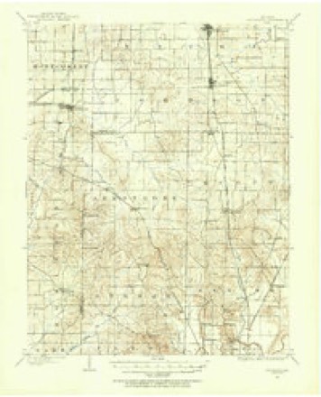
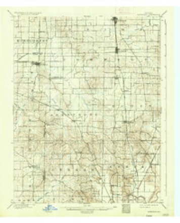
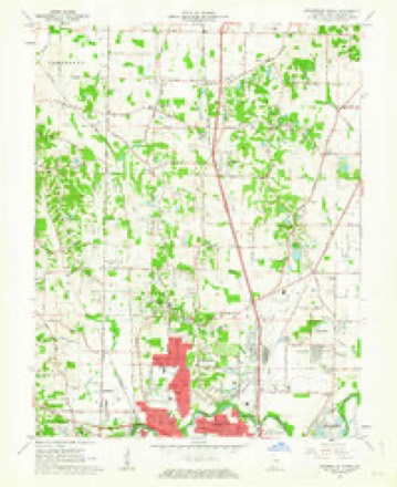
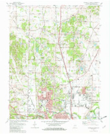
18 topographic sheets cover this place, the earliest surveyed in 1901 and the latest in 1986. It stands in Center Township. It lies in ZIP code area 47711. The Survey maps it on the Evansville North quadrangle. It stands 479 feet above sea level.
Topographic sheets covering this place
9 surveys from 18 printed sheetsMatched by testing this settlement's coordinate against the published boundary of every sheet in the United States Geological Survey's historical collection. Each opens the scanned sheet at the Survey.
- 1901 USGS Haubstadt quadrangle1:62500
- 1903 USGS Haubstadt quadrangle1:62500, 2 printings
- 1903 USGS Patoka quadrangle1:125000, 2 printings
- 1956 USGS Vincennes quadrangle1:250000, 4 printings
- 1957 USGS Vincennes quadrangle1:250000
- 1958 USGS Vincennes quadrangle1:250000, 2 printings
- 1961 USGS Evansville North quadrangle1:24000
- 1981 USGS Evansville North quadrangle1:24000, 3 printings
- 1986 USGS Princeton quadrangle1:100000, 2 printings





In the county-history sources
16,414 words on this townshipHistory of Vanderburgh County, Indiana, from Earliest Times to the Present; with Biographical Sketches, Reminiscences, Etc, published 1889 names this settlement in its chapter on Center Township. These are the passages that mention it, exactly as the scans read.
Among the first, came John Sharer, Matthias Whetstone, George Linxweiler, Absalom Vann and Nathan Young. John Sharer, with rare good luck, discovered what was later known as the Ingle spring, and near there raised his rude cabin. He at once cleared a garden spot and cornfield, and planted a peach orchard, which in a few years bore e.xcellent fruit. He was a "good citizen, for some time a magistrate, and in the later years of his life a part owner of the Negley grist-mill. The Matthias Whetstone farm on the old Princeton road a short distance north of Mechanicsville, in section 32, wa§ a w'ell known locality in early times. For many years the residence there was kept as a public-house or tavernstand and became justly celebrated. There were three brothers of the elder Whetstones, David, Matthias and Henr^^ The Vanns and Youngs formed a part of the Whetstone settlement. They were all Kentuckians, and valuable pioneer citizens. Peter, a son of David Whetstone, fell into disgrace. He stole a horse, was apprehended, examined and held to bail, his father becoming his suret}^. When court met Peter did not appear, and the bond was forfeited. The payment of the forfeiture completely ruined David Whetstone.
Passage source: History of Vanderburgh County, Indiana, from Earliest Times to the Present; with Biographical Sketches, Reminiscences, Etc, published 1889.
George Linxweiler, the progenitor of the large and well-known family of that name, and one of the first Germans to migrate to this part of the great west, who landed in Indiana territory opposite the mouth of Green river, in March, 1806, and for a time lived on the widely known J. B. Stinson farm in Perr}- township, came to the Whetstone settlement in iSii and there founded his home. Industrious, economical, and honorable, he at once gained the respect of the settlers and through a long life of usefulness maintained a high position in popular esteem. His sons, William, Christ, and Isaac, and their descendants, have been conspicuous in developing the township and county.
Passage source: History of Vanderburgh County, Indiana, from Earliest Times to the Present; with Biographical Sketches, Reminiscences, Etc, published 1889.
Early Industries, Gciiiics, etc. - Departures from primitive methods of husbandry were very slowly made during the first years of the new west's history. Up to 1830 the farmers of Center township sent to New Harmony to procure plows to break their lands. The establishment of Presley Pritchett's blacksmith shop in Evansville, and of Col. Seth Fairchild's in Mechanicsville, were great improvements in the county, but it was some time before all wants of this kind were conveniently suppHed. New Harmony was also the favorite resort for those who had wool to be carded. The German socialists there were progressive and ingenious enough to have these valuable improvements. There were no cotton gins in the country until Nicholas Robinson, of Big Creek in Gibson county, put up one. That of Saunders Hornbrook, in Scott township, w-as the first and perhaps the only one in this immediate vicinity. The first horse-mill was built by Charles Mcjohnston some time prior to 1830. In this township in early days there were no industries pursued aside from farming except a tannery, the Negley mill already described, and some still houses. The making of whiskey became quite an industry. The market for corn was limited, and the distillers offered better prices than the merchants and traders. Up to 1825 the woods of Center township were full of all kinds of game.
Passage source: History of Vanderburgh County, Indiana, from Earliest Times to the Present; with Biographical Sketches, Reminiscences, Etc, published 1889.
Machine-read from a century-old scan, so expect the errors a machine makes: misspelled names, dropped words, stray characters.
Read the whole chapter on Center Township - it names this place 4 more 4 times.
Mines and quarries near this place
2 within 5 milesRegional context, not property-specific evidence. The federal mineral resources record lists 2 workings within 5 miles of Mechanicsville: 2 producers. All of them still produce. What was taken out: Stone, Sand and Gravel, Construction. Distance is straight-line from the map coordinates, so a quarry counted here may appear on a neighbouring settlement's page as well.
| Where | Site | Commodity | Status | Recorded |
|---|---|---|---|---|
| Evansville Mill | Sand and Gravel, Construction | Producer | ||
| Vanderburg Co. Hwy. Dept. | Stone | Producer |
Nearest settlements
The eight closest, with where each one stands in the county. Distances are straight-line, computed from the Geographic Names Information System coordinates.
| Map | Place | Distance | Sheets |
|---|---|---|---|
| Highland | 0.7 miles | 18 | |
| Stringtown | 0.9 miles | 18 | |
| Country Club Meadows | 0.9 miles | 18 | |
| Erskine Station | 1.2 miles | 18 | |
| Kratzville | 1.5 miles | 18 | |
| Harwood | 2.2 miles | 18 | |
| Knob Hill | 2.3 miles | 18 | |
| Melody Hill | 2.5 miles | 18 |
Elsewhere
Matched on this settlement's Geographic Names Information System number rather than its name, so it cannot be a different place of the same name in another state.
| Wikipedia article on Mechanicsville | An encyclopaedic summary. Its text is share-alike, so it is linked here rather than copied. |
| Wikidata item Q27988821 | The structured record the population and elevation above come from. Public domain (CC0). |
Provenance
This settlement is recorded in the Geographic Names Information System as feature 449471. The sheet list is computed by point-in-boundary test against the United States Geological Survey's historical topographic inventory. Both are works of the United States government and carry no copyright under 17 U.S.C. 105.
Mines and quarries. USGS Mineral Resources Data System (MRDS) https://mrdata.usgs.gov/mrds/ A work of the United States government, no copyright under 17 U.S.C. 105.