 Block
Modoc, Indiana
11 topographic sheets cover this place, the earliest surveyed in 1953 and the latest in 1986. It stands in Union Township. It lies in ZIP code area 47358. It stands on Deck Run. The Survey maps it on the Modoc quadrangle. 157 people lived here at the 2020 count. It stands 1,175 feet above sea level.
Population over time
2 figuresModoc fell from 196 to 157 between 2010 and 2020. These are the recorded population figures Wikidata holds for this place, reached through the Geographic Names Information System number this page is keyed on rather than by name, so they belong to this place and not to another of the same name. Most are census counts, but not all are: an early figure may be a founding or settlement estimate, and an estimate published within five years of a census is left out. The change column is computed, and is left blank where more than 20 years separate a figure from the one before it, because a gap that long is not a change between two counts.
| Year | People | Change |
|---|---|---|
| 2010 | 196 | |
| 2020 | 157 | -39 (-20%) |
Topographic sheets covering this place
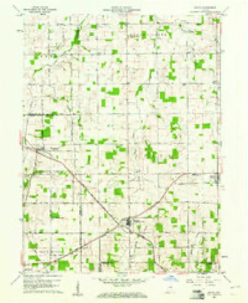
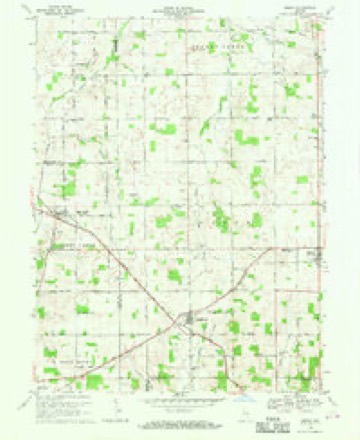
5 surveys from 11 printed sheetsMatched by testing this settlement's coordinate against the published boundary of every sheet in the United States Geological Survey's historical collection. Each opens the scanned sheet at the Survey.
- 1953 USGS Muncie quadrangle1:250000, 5 printings
- 1956 USGS Muncie quadrangle1:250000
- 1960 USGS Modoc quadrangle1:24000
- 1969 USGS Modoc quadrangle1:24000
- 1986 USGS Muncie quadrangle1:100000, 3 printings



In the county-history sources
60,303 words on this townshipHistory of Randolph County, Indiana with Illustrations and Biographical Sketches of Some of Its Prominent Men and Pioneers : to Which Are Appended Maps of Its Several Townships, published 1882 names this settlement in its chapter on Union Township. These are the passages that mention it, exactly as the scans read.
The tirst burying ground for Union City was laid out by Hon. Jere Smith and Dr. J, N. Converse, north of the original plat, chiefly between Howard and Plum, and somewhat north of Division street, and including what is now Oak Grove, the elegant residence and grounds of E. L. Anderson, Esq.
Passage source: History of Randolph County, Indiana with Illustrations and Biographical Sketches of Some of Its Prominent Men and Pioneers : to Which Are Appended Maps of Its Several Townships, published 1882.
There were 517 lots for private owners, and Lots 25 and 20 besides. Some burials took place there, but the ground seemed not suitable, and it was but little used, and at this time many, perhaps most or all of the bodies, have been removed.
Passage source: History of Randolph County, Indiana with Illustrations and Biographical Sketches of Some of Its Prominent Men and Pioneers : to Which Are Appended Maps of Its Several Townships, published 1882.
Other grounds were selected, an association was formed, and a new cemetery was established. Union City Cemetery Association was formed Febmary 4, 1803. The first Trustees were Finloy Maloy, James White, Isaac P. Gray, John L. Roaenbush, Joel N. Converse.
Passage source: History of Randolph County, Indiana with Illustrations and Biographical Sketches of Some of Its Prominent Men and Pioneers : to Which Are Appended Maps of Its Several Townships, published 1882.
Machine-read from a century-old scan, so expect the errors a machine makes: misspelled names, dropped words, stray characters.
Read the whole chapter on Union Township - it names this place 7 more 7 times.
Storms near this place
11 since 2002Regional context, not property-specific evidence. The National Weather Service names Modoc in 11 storm reports between 2002 and 2023: 7 thunderstorm wind, 4 hail. No death or injury is recorded in these reports. Each account below is quoted exactly as the forecast office filed it, from the NOAA Storm Events Database, and each date opens the federal record of that event.
| When | Event | Place named | Harm | What the report says |
|---|---|---|---|---|
| October 2013 | Thunderstorm Wind | Modoc | $15,000 | The Randolph County Sheriff reported multiple trees down, with one into a house near Huntsville, due to damaging thunderstorm wind gusts. Power outages in rural Randolph County, south of Parker, was also reported. |
| July 2023 | Thunderstorm Wind | Modoc | $1,000 | Tree limbs of unknown size downed by thunderstorm wind gusts. |
| August 2021 | Hail | Modoc | - | Report from MPing states half dollar hail. |
| August 2015 | Hail | Modoc | - | Law enforcement out on a call observed the hail. |
| September 2005 | Thunderstorm Wind | Modoc | - | Numerous large limbs were downed. |
| May 2004 | Thunderstorm Wind | Modoc | - | 4 foot diameter tree down. |
| September 2005 | Hail | Modoc | - | no account filed |
| May 2004 | Thunderstorm Wind | Modoc | - | no account filed |
| August 2004 | Hail | Modoc | - | no account filed |
| July 2003 | Thunderstorm Wind | Modoc | - | no account filed |
| July 2002 | Thunderstorm Wind | Modoc | - | no account filed |
Nearest settlements
The eight closest, with where each one stands in the county. Distances are straight-line, computed from the Geographic Names Information System coordinates.
| Map | Place | Distance | Sheets |
|---|---|---|---|
| Scott Corner | 3.2 miles | 11 | |
| Losantville | 3.3 miles | 11 | |
| Huntsville | 3.4 miles | 12 | |
| Pinch | 4.4 miles | 11 | |
| Carlos | 5.0 miles | 12 | |
| Unionport | 5.5 miles | 12 | |
| Buena Vista | 5.9 miles | 12 | |
| Bloomingport | 7.1 miles | 19 |
Elsewhere
Matched on this settlement's Geographic Names Information System number rather than its name, so it cannot be a different place of the same name in another state.
| Wikipedia article on Modoc | An encyclopaedic summary. Its text is share-alike, so it is linked here rather than copied. |
| Wikidata item Q3293484 | The structured record the population and elevation above come from. Public domain (CC0). |
Provenance
This settlement is recorded in the Geographic Names Information System as feature 439307. The sheet list is computed by point-in-boundary test against the United States Geological Survey's historical topographic inventory. Both are works of the United States government and carry no copyright under 17 U.S.C. 105.
Storms. NOAA National Centers for Environmental Information, Storm Events Database https://www.ncei.noaa.gov/stormevents/ A work of the United States government, no copyright under 17 U.S.C. 105. Narratives are quoted verbatim from the National Weather Service report and are not edited or summarised.