 Block
Nashville, Indiana
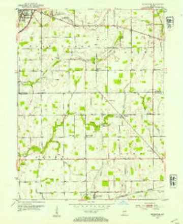
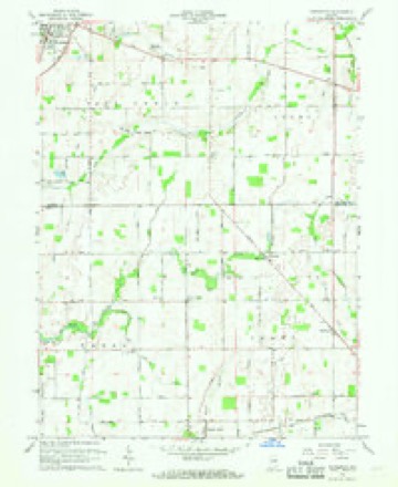
9 topographic sheets cover this place, the earliest surveyed in 1953 and the latest in 1986. It stands in Brown Township. It lies in ZIP code area 46186. The Survey maps it on the Pendleton quadrangle. It stands 938 feet above sea level.
Topographic sheets covering this place
5 surveys from 9 printed sheetsMatched by testing this settlement's coordinate against the published boundary of every sheet in the United States Geological Survey's historical collection. Each opens the scanned sheet at the Survey.
- 1953 USGS Cincinnati quadrangle1:250000, 3 printings
- 1953 USGS Pendleton quadrangle1:24000, 2 printings
- 1957 USGS Cincinnati quadrangle1:250000
- 1966 USGS Pendleton quadrangle1:24000
- 1986 USGS New Castle quadrangle1:100000, 2 printings



What happened here
An account from the chapter on Brown township. The inset identifies its exact source book and publication year.
Storm
On May 12, 1886, Wilkinson was partially destroyed by a cyclone, in which Glenn Smith, little son of John Smith, also Samuel White, who resided just east of the town, were killed, and Mr. White's daughter was seriouslv injured. Wilkinson was also visited by the storm of June 25, 1902, in which one glass factory was blown down and several men seriously injured, two of them dying from the effects of their injuries.
In the county-history sources
34,023 words on this townshipHistory of Hancock County, Indiana, from Its Earliest Settlement by the "pale Face," in 1818, Down to 1882, published 1882 names this settlement in its chapter on Brown Township. These are the passages that mention it, exactly as the scans read.
The Methodist Episcopal Church had a small society in the early history of the township near Nashville. Among the first members were John Kenned}' and wife, Mariah Wilson, Samuel Griffith and wife, Elizabeth Walker, wife of Seth Walker ; Sarah Newkirk, John Nibarger, Sarah Nibarger, and Amanda Childers.
Passage source: History of Hancock County, Indiana, from Its Earliest Settlement by the "pale Face," in 1818, Down to 1882, published 1882.
The first brick house and the first mill in the township were built and owned by Stephen Harlan, who was not only an enterprising, thrifty farmer, but a miller and millwright, having built two grist-mills and a saw-mill, the first in 1835.
Passage source: History of Hancock County, Indiana, from Its Earliest Settlement by the "pale Face," in 1818, Down to 1882, published 1882.
was organized October 29, 1838, at the house of Stephen Harlan. Morgan McQiiery was chosen moderator and Jacob Parkhurst clerk, with the following members : William Sparks, Jane Wilkinson, Hiram Harlan and wife. Charity Wilson, Jane Ross, and Stephen Harlan and wife.
Passage source: History of Hancock County, Indiana, from Its Earliest Settlement by the "pale Face," in 1818, Down to 1882, published 1882.
Machine-read from a century-old scan, so expect the errors a machine makes: misspelled names, dropped words, stray characters.
Read the whole chapter on Brown Township - it names this place 4 more 4 times.
Storms near this place
1 since 2012Regional context, not property-specific evidence. The National Weather Service names Nashville in 1 storm report in 2012: 1 hail. No death or injury is recorded in these reports. Each account below is quoted exactly as the forecast office filed it, from the NOAA Storm Events Database, and each date opens the federal record of that event.
| When | Event | Place named | Harm | What the report says |
|---|---|---|---|---|
| March 2012 | Hail | Nashville | - | Quarter-sized hail was observed at the intersection of Nashville Road and County Road 775 East. The hail fell for five minutes. |
Nearest settlements
The eight closest, with where each one stands in the county. Distances are straight-line, computed from the Geographic Names Information System coordinates.
| Map | Place | Distance | Sheets |
|---|---|---|---|
| Milners Corner | 1.9 miles | 9 | |
| Warrington | 2.0 miles | 9 | |
| Willow Branch | 3.8 miles | 9 | |
| Wilkinson | 4.0 miles | 8 | |
| Pleasant Hill | 4.5 miles | 8 | |
| Shirley | 5.0 miles | 8 | |
| Eden | 6.1 miles | 10 | |
| Cooper Corner | 7.0 miles | 12 |
Elsewhere
Matched on this settlement's Geographic Names Information System number rather than its name, so it cannot be a different place of the same name in another state.
| Wikipedia article on Nashville | An encyclopaedic summary. Its text is share-alike, so it is linked here rather than copied. |
| Wikidata item Q6966926 | The structured record the population and elevation above come from. Public domain (CC0). |
Provenance
This settlement is recorded in the Geographic Names Information System as feature 439942. The sheet list is computed by point-in-boundary test against the United States Geological Survey's historical topographic inventory. Both are works of the United States government and carry no copyright under 17 U.S.C. 105.
Storms. NOAA National Centers for Environmental Information, Storm Events Database https://www.ncei.noaa.gov/stormevents/ A work of the United States government, no copyright under 17 U.S.C. 105. Narratives are quoted verbatim from the National Weather Service report and are not edited or summarised.