 Block
Warrington, Indiana
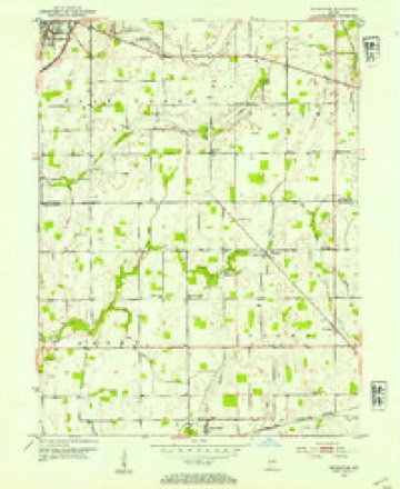
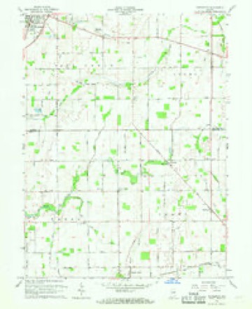
9 topographic sheets cover this place, the earliest surveyed in 1953 and the latest in 1986. It stands in Brown Township. It lies in ZIP code area 46186. It stands on Harlan Run. The Survey maps it on the Pendleton quadrangle. It stands 971 feet above sea level.
Topographic sheets covering this place
5 surveys from 9 printed sheetsMatched by testing this settlement's coordinate against the published boundary of every sheet in the United States Geological Survey's historical collection. Each opens the scanned sheet at the Survey.
- 1953 USGS Cincinnati quadrangle1:250000, 3 printings
- 1953 USGS Pendleton quadrangle1:24000, 2 printings
- 1957 USGS Cincinnati quadrangle1:250000
- 1966 USGS Pendleton quadrangle1:24000
- 1986 USGS New Castle quadrangle1:100000, 2 printings



What happened here
An account from the chapter on Brown township. The inset identifies its exact source book and publication year.
Storm
On May 12, 1886, Wilkinson was partially destroyed by a cyclone, in which Glenn Smith, little son of John Smith, also Samuel White, who resided just east of the town, were killed, and Mr. White's daughter was seriouslv injured. Wilkinson was also visited by the storm of June 25, 1902, in which one glass factory was blown down and several men seriously injured, two of them dying from the effects of their injuries.
In the county-history sources
34,023 words on this townshipHistory of Hancock County, Indiana, from Its Earliest Settlement by the "pale Face," in 1818, Down to 1882, published 1882 names this settlement in its chapter on Brown Township. These are the passages that mention it, exactly as the scans read.
The way of life and salvation has been definitely pointed out from time to time during the history of the church b^' the Ibllowing Elders, to-wit : Daniel Cunningham, John F. Johnson, Thomas Smith, John Sparks, J. F. Collier, S. D. Harlan, and T. S. Lyons ; the latter of whom is the present preacher.
Passage source: History of Hancock County, Indiana, from Its Earliest Settlement by the "pale Face," in 1818, Down to 1882, published 1882.
The lirst meetings were held in private residences until the existence of log school-houses, which accommodated the congregation for a number of 3'ear.s, terminating in 1855, when the present frame building, thirtv-four h\ thirty-six feet, was erected and completed in good st}le, and dedicated in 1856 by Elder John Sparks.
Passage source: History of Hancock County, Indiana, from Its Earliest Settlement by the "pale Face," in 1818, Down to 1882, published 1882.
This church was flrst organized near Elizabeth City, and was known as the " Six-Mile Church." It was organized about the year 1838 by Peter Rader, who was its flrst pastor. Haying quite a number of the best citizens as members, it continued its usefulness for several years at this point. Death and removals having crippled it so much, it was discontinued here as a church organization ; but subsequently reorganized near Warrington, where the following Elders preached occasionally : Robert Low% Drury Holt, John Walker, and Silas Mawzy ; all of Rush count}-. The meetings at first were held at private houses and log school-houses in the immediate neighborhood. The society struggled long and hard to build a house in which to worship ; but were unable to accomplish the object, being low in spirits and few in numbers, and, in 1862, disorganized. In March, 1877, the society took fresh courage, and was again established, or reorganized, b}' Elder Robert Edmonson. J. N. Martindale and John McCray were chosen Elders, and John Vandyke and C. C. Loder deacons. H. C. Garriott, clerk. The church edifice is very well located in Warrington ; is a handsome frame, thirtysix b}^ fifty-four feet, constructed at a cost of $1,650, and will seat five hundred persons. It was dedicated December 25, 1877, by Elder Wiley Ackman, who preached for the society two years, followed by Elder David Frank- lin, who was succeeded by Elder Cornelius Quick, the present pastor. The society is in a prosperous condition, with a membership of eighty. On the 20th day of March. 1877,]. N. Martindale, John Vandyke, and W. L. Garriott were elected trustees.
Passage source: History of Hancock County, Indiana, from Its Earliest Settlement by the "pale Face," in 1818, Down to 1882, published 1882.
Machine-read from a century-old scan, so expect the errors a machine makes: misspelled names, dropped words, stray characters.
Read the whole chapter on Brown Township - it names this place 26 more 26 times.
Storms near this place
4 since 2010Regional context, not property-specific evidence. The National Weather Service names Warrington in 4 storm reports between 2010 and 2012: 2 hail, 1 thunderstorm wind, 1 tornado. The reports record 2 injuries. Each account below is quoted exactly as the forecast office filed it, from the NOAA Storm Events Database, and each date opens the federal record of that event.
| When | Event | Place named | Harm | What the report says |
|---|---|---|---|---|
| October 2010 | Thunderstorm Wind | Warrington | 2 hurt, $75,000 | Significant damage occurred to a hog barn that was under construction near the intersection of County Roads 1100 North and 1100 East. Injuries occurred to two workers who were on stilts constructing the ceiling in the unfinished hog barn when the storm and damaging wind gusts moved across the area. One hog in the finished barn was also found injured and had to be put down. |
| October 2010 | Tornado (EF0) | Warrington | $75,000 | A brief EF0 tornado touched down northwest of Wilkinson on Nashville Rd. Several outbuildings and one garage was destroyed. One home was largely deroofed. |
| April 2012 | Hail | Warrington | - | no account filed |
| March 2012 | Hail | Warrington | - | no account filed |
Nearest settlements
The eight closest, with where each one stands in the county. Distances are straight-line, computed from the Geographic Names Information System coordinates.
| Map | Place | Distance | Sheets |
|---|---|---|---|
| Nashville | 2.0 miles | 9 | |
| Wilkinson | 2.0 miles | 8 | |
| Milners Corner | 3.1 miles | 9 | |
| Shirley | 3.2 miles | 8 | |
| Willow Branch | 3.4 miles | 9 | |
| Pleasant Hill | 4.0 miles | 8 | |
| Eden | 7.2 miles | 10 | |
| Cooper Corner | 7.6 miles | 12 |
Elsewhere
Matched on this settlement's Geographic Names Information System number rather than its name, so it cannot be a different place of the same name in another state.
| Wikipedia article on Warrington | An encyclopaedic summary. Its text is share-alike, so it is linked here rather than copied. |
| Wikidata item Q7970712 | The structured record the population and elevation above come from. Public domain (CC0). |
Provenance
This settlement is recorded in the Geographic Names Information System as feature 445486. The sheet list is computed by point-in-boundary test against the United States Geological Survey's historical topographic inventory. Both are works of the United States government and carry no copyright under 17 U.S.C. 105.
Storms. NOAA National Centers for Environmental Information, Storm Events Database https://www.ncei.noaa.gov/stormevents/ A work of the United States government, no copyright under 17 U.S.C. 105. Narratives are quoted verbatim from the National Weather Service report and are not edited or summarised.