 Block
Otter Lake, Indiana
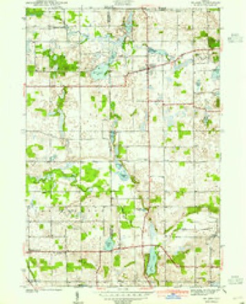
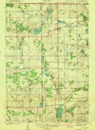
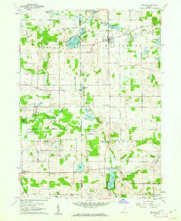
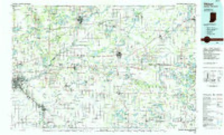
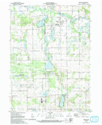
15 topographic sheets cover this place, the earliest surveyed in 1940 and the latest in 1992. It stands in Jackson Township. It lies in ZIP code area 46703. The Survey maps it on the Orland quadrangle.
Topographic sheets covering this place
7 surveys from 15 printed sheetsMatched by testing this settlement's coordinate against the published boundary of every sheet in the United States Geological Survey's historical collection. Each opens the scanned sheet at the Survey.
- 1940 USGS Orland quadrangle1:24000, 2 printings
- 1941 USGS Orland quadrangle1:24000, 2 printings
- 1953 USGS Fort Wayne quadrangle1:250000, 4 printings
- 1956 USGS Fort Wayne quadrangle1:250000, 2 printings
- 1960 USGS Orland quadrangle1:24000, 2 printings
- 1985 USGS Elkhart quadrangle1:100000, 2 printings
- 1992 USGS Orland quadrangle1:24000


In the county-history sources
9,957 words on this townshipHistory of Steuben County, Indiana, Together with... Biographies of Representative Citizens, published 1885 names this settlement in its chapter on Jackson Township. These are the passages that mention it, exactly as the scans read.
Jackson Township is congressional township 37 north, range 12 east, and lies in the western tier of the county. It is bounded on the north by Mill Grove, on the east by Pleasant, on the south by Salem, and on the west by the county of Lagrange. The township is six miles north and south by about six miles east and west, and has nearly thirty-six sections, or 23,000 acres of land, about 1,000 of which are covered by water. Lake Gage, on the northern border, covers part of section 2, and Crooked Lake touches section 1, the main body being in Pleasant Township; Grass Lake, a narrow lake nearly two miles long, extends from section 12, across 13, into 24. On sections 24 and 25 is Howard Lake, connecting with Bass Lake on 25; Hog Back Lake, the largest in the township, lies mostly on 36; Otter Lake is on 20 and 29; Green Lake touches section 19, on the county line; and there are a dozen more smaller lakes in various parts of the township. Pigeon Creek flows irregularly west and north through Jackson, expanding into a pond a mile long east of Flint.
Passage source: History of Steuben County, Indiana, Together with... Biographies of Representative Citizens, published 1885.
Machine-read from a century-old scan, so expect the errors a machine makes: misspelled names, dropped words, stray characters.
Mines and quarries near this place
3 within 5 milesRegional context, not property-specific evidence. The federal mineral resources record lists 3 workings within 5 miles of Otter Lake: 2 producers, 1 past producer. 2 still produce. What was taken out: Sand and Gravel, Construction. Distance is straight-line from the map coordinates, so a quarry counted here may appear on a neighbouring settlement's page as well.
| Where | Site | Commodity | Status | Recorded |
|---|---|---|---|---|
| Gravel Pit | Sand and Gravel, Construction | Past Producer | ||
| State Line Sand and Gravel Pit | Sand and Gravel, Construction | Producer | ||
| Viking Gravel Pit | Sand and Gravel, Construction | Producer |
Nearest settlements
The eight closest, with where each one stands in the county. Distances are straight-line, computed from the Geographic Names Information System coordinates.
| Map | Place | Distance | Sheets |
|---|---|---|---|
| Indian Hills | 1.3 miles | 13 | |
| Flint | 2.1 miles | 15 | |
| Wildwood | 3.4 miles | 13 | |
| Westview | 3.8 miles | 13 | |
| Salem Center | 4.0 miles | 13 | |
| Meadow Shores Park | 4.1 miles | 13 | |
| Holiday Woods | 5.1 miles | 14 | |
| Panama | 5.5 miles | 16 |
Provenance
This settlement is recorded in the Geographic Names Information System as feature 2830292. The sheet list is computed by point-in-boundary test against the United States Geological Survey's historical topographic inventory. Both are works of the United States government and carry no copyright under 17 U.S.C. 105.
Mines and quarries. USGS Mineral Resources Data System (MRDS) https://mrdata.usgs.gov/mrds/ A work of the United States government, no copyright under 17 U.S.C. 105.