 Block
Flint, Indiana
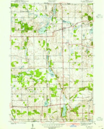
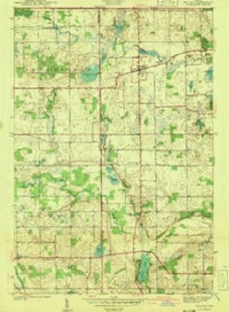
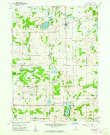
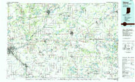
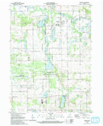
15 topographic sheets cover this place, the earliest surveyed in 1940 and the latest in 1992. It stands in Jackson Township. It lies in ZIP code area 46703. The Survey maps it on the Orland quadrangle. It stands 968 feet above sea level.
Topographic sheets covering this place
7 surveys from 15 printed sheetsMatched by testing this settlement's coordinate against the published boundary of every sheet in the United States Geological Survey's historical collection. Each opens the scanned sheet at the Survey.
- 1940 USGS Orland quadrangle1:24000, 2 printings
- 1941 USGS Orland quadrangle1:24000, 2 printings
- 1953 USGS Fort Wayne quadrangle1:250000, 4 printings
- 1956 USGS Fort Wayne quadrangle1:250000, 2 printings
- 1960 USGS Orland quadrangle1:24000, 2 printings
- 1985 USGS Elkhart quadrangle1:100000, 2 printings
- 1992 USGS Orland quadrangle1:24000


In the county-history sources
9,957 words on this townshipHistory of Steuben County, Indiana, Together with... Biographies of Representative Citizens, published 1885 names this settlement in its chapter on Jackson Township. These are the passages that mention it, exactly as the scans read.
Jackson Township is congressional township 37 north, range 12 east, and lies in the western tier of the county. It is bounded on the north by Mill Grove, on the east by Pleasant, on the south by Salem, and on the west by the county of Lagrange. The township is six miles north and south by about six miles east and west, and has nearly thirty-six sections, or 23,000 acres of land, about 1,000 of which are covered by water. Lake Gage, on the northern border, covers part of section 2, and Crooked Lake touches section 1, the main body being in Pleasant Township; Grass Lake, a narrow lake nearly two miles long, extends from section 12, across 13, into 24. On sections 24 and 25 is Howard Lake, connecting with Bass Lake on 25; Hog Back Lake, the largest in the township, lies mostly on 36; Otter Lake is on 20 and 29; Green Lake touches section 19, on the county line; and there are a dozen more smaller lakes in various parts of the township. Pigeon Creek flows irregularly west and north through Jackson, expanding into a pond a mile long east of Flint.
Passage source: History of Steuben County, Indiana, Together with... Biographies of Representative Citizens, published 1885.
A saw-mill was built at what afterward became the village of Flint, in 1834, by Edward Griswold; this was the first saw-mill erected in Steuben County. Mr. Griswold operated this mill for about four years; when he sold the property to Dr. Alonzo Clark. Mr. Griswold removed to Iowa. Dr. Clark owned the property for about two years, when he sold to John Thompson, who came here from Canada in 1838. Mr. Thompson improved the waterpower, built the present race, removed the old saw-mill and erected a grist-mill. This mill, after changing hands a number of times, was purchased by Spencer I. Cleveland, in the spring of 1856. The mill was burned in December, 1858. Mr. Cleveland, who still owned the mill at the time it was burned, sustained a loss of not less than $6,000 on mill and stock.
Passage source: History of Steuben County, Indiana, Together with... Biographies of Representative Citizens, published 1885.
The present business of Flint is represented as follows: W. J. Huffman, general merchant; John B. Richer, general merchant; John Crandall, merchant and Postmaster; George Cleveland, blacksmith; Wallace Clark, grist-mill. Physicians, Fred Sherman and John Lewis.
Passage source: History of Steuben County, Indiana, Together with... Biographies of Representative Citizens, published 1885.
Machine-read from a century-old scan, so expect the errors a machine makes: misspelled names, dropped words, stray characters.
Read the whole chapter on Jackson Township - it names this place 6 more 6 times.
Fires near this place
1 since 2003Regional context, not property-specific evidence. The federal wildfire occurrence database lists 1 fire within 5 miles of Flint in 2003, burning about 2 acres in total. None started naturally. None was recorded as arson. Distance is straight-line from the map coordinates, so a fire counted here may appear on a neighbouring settlement's page as well.
| Reported cause | Fires |
|---|---|
| Recreation and ceremony | 1 |
The most recent of them, most recent first, with the day each was reported and the service that recorded it.
| Date | Cause | Size | Reported by | Name on the report |
|---|---|---|---|---|
| 13 April 2003 | Recreation and ceremony | 2.0 acres | Indiana State Fire Marshal's Office | not named |
Settlements close enough to share some of these fires:
Mines and quarries near this place
4 within 5 milesRegional context, not property-specific evidence. The federal mineral resources record lists 4 workings within 5 miles of Flint: 2 producers, 2 past producers. 2 still produce. What was taken out: Sand and Gravel, Construction, Stone, Crushed/Broken. Distance is straight-line from the map coordinates, so a quarry counted here may appear on a neighbouring settlement's page as well.
| Where | Site | Commodity | Status | Recorded |
|---|---|---|---|---|
| Garman Pit | Stone, Crushed/Broken | Past Producer | ||
| Gravel Pit | Sand and Gravel, Construction | Past Producer | ||
| State Line Sand and Gravel Pit | Sand and Gravel, Construction | Producer | ||
| Viking Gravel Pit | Sand and Gravel, Construction | Producer |
Storms near this place
9 since 2008Regional context, not property-specific evidence. The National Weather Service names Flint in 9 storm reports between 2008 and 2023: 8 thunderstorm wind, 1 hail. No death or injury is recorded in these reports. Each account below is quoted exactly as the forecast office filed it, from the NOAA Storm Events Database, and each date opens the federal record of that event.
| When | Event | Place named | Harm | What the report says |
|---|---|---|---|---|
| May 2011 | Thunderstorm Wind | Flint | $10,000 | Amateur radio operators reported the roof of a house being peeled off about two-thirds of the way. |
| March 2023 | Thunderstorm Wind | Flint | $5,000 | A large tree was down. |
| August 2020 | Thunderstorm Wind | Flint | - | Emergency management officials reported a power pole snapped in the Lake Arrowhead area. |
| August 2015 | Thunderstorm Wind | Flint | - | Emergency management officials reported sporadic trees being blown down onto the road between Otter Lake and Crooked Lake. |
| July 2012 | Thunderstorm Wind | Flint | - | A trained spotter reported numerous three inch diameter tree limbs down at the intersection of County Roads 900 West and 50 North. |
| May 2011 | Thunderstorm Wind | Flint | - | Amateur radio operators reported a tree down on County Road 100 North, east of Flint Road. |
| June 2008 | Thunderstorm Wind | Flint | - | Amateur radio operators measured a 59 mph wind gusts at the Tri State Steuben county airport. |
| June 2008 | Thunderstorm Wind | Flint | - | Emergency management officials reported an 18-inch diameter tree was blown down. |
| June 2019 | Hail | Flint | - | no account filed |
Nearest settlements
The eight closest, with where each one stands in the county. Distances are straight-line, computed from the Geographic Names Information System coordinates.
| Map | Place | Distance | Sheets |
|---|---|---|---|
| Otter Lake | 2.1 miles | 15 | |
| Indian Hills | 2.4 miles | 13 | |
| Holiday Woods | 3.5 miles | 14 | |
| Inverness | 3.9 miles | 16 | |
| Panama | 4.0 miles | 16 | |
| Salem Center | 4.5 miles | 13 | |
| Wildwood | 5.0 miles | 13 | |
| Crooked Lake | 5.2 miles | 16 |
Elsewhere
Matched on this settlement's Geographic Names Information System number rather than its name, so it cannot be a different place of the same name in another state.
| Wikipedia article on Flint | An encyclopaedic summary. Its text is share-alike, so it is linked here rather than copied. |
| Wikidata item Q8563815 | The structured record the population and elevation above come from. Public domain (CC0). |
Provenance
This settlement is recorded in the Geographic Names Information System as feature 434598. The sheet list is computed by point-in-boundary test against the United States Geological Survey's historical topographic inventory. Both are works of the United States government and carry no copyright under 17 U.S.C. 105.
Wildfire. Short, Karen C. 2022. Spatial wildfire occurrence data for the United States, 1992-2020 [FPA_FOD_20221014]. 6th Edition. Fort Collins, CO: Forest Service Research Data Archive. https://doi.org/10.2737/RDS-2013-0009.6 Collected with United States Government funding and usable without additional permissions or fees.
Mines and quarries. USGS Mineral Resources Data System (MRDS) https://mrdata.usgs.gov/mrds/ A work of the United States government, no copyright under 17 U.S.C. 105.
Storms. NOAA National Centers for Environmental Information, Storm Events Database https://www.ncei.noaa.gov/stormevents/ A work of the United States government, no copyright under 17 U.S.C. 105. Narratives are quoted verbatim from the National Weather Service report and are not edited or summarised.