 Block
Quaker, Indiana
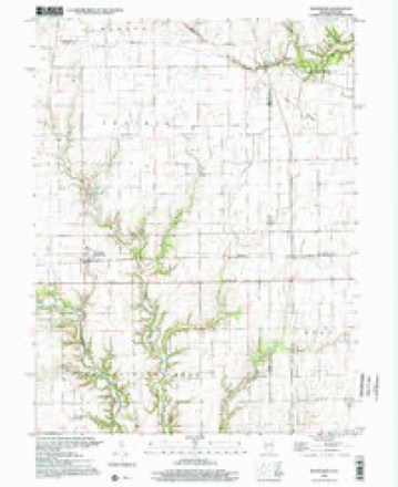
17 topographic sheets cover this place, the earliest surveyed in 1947 and the latest in 1998. It stands in Vermillion Township. It lies in ZIP code area 47847. The Survey maps it on the Scottland quadrangle.
Topographic sheets covering this place
9 surveys from 17 printed sheetsMatched by testing this settlement's coordinate against the published boundary of every sheet in the United States Geological Survey's historical collection. Each opens the scanned sheet at the Survey.
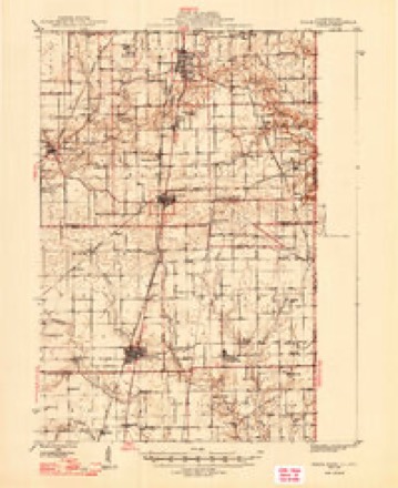
- 1947 USGS Ridge Farm quadrangle1:62500, 3 printings
- 1953 USGS Indianapolis quadrangle1:250000, 4 printings
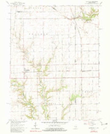
- 1955 USGS Scottland quadrangle1:24000
- 1956 USGS Indianapolis quadrangle1:250000
- 1957 USGS Indianapolis quadrangle1:250000, 2 printings
- 1962 USGS Indianapolis quadrangle1:250000
- 1965 USGS Scottland quadrangle1:24000, 2 printings
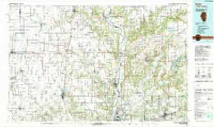
- 1986 USGS Paris quadrangle1:100000, 2 printings
- 1998 USGS Scottland quadrangle1:24000




In the county-history sources
8,680 words on this townshipBiographical and Historical Record of Vermillion County, Indiana : Containing Portraits of All the Presidents of the United States from Washington to Cleveland, with Accompanying Biographies of Each; a Condensed History of the State of Indiana; Portraits and Biographies of Some of the Prominent Men of the State; Engravings of Prominent Citizens in Vermillion County, with Personal Histories of Many of the Leading Families, and a Concise History of the County and Its Villages, published 1888 names this settlement in its chapter on Vermillion Township. These are the passages that mention it, exactly as the scans read.
Quaker Hill, sometimes called Quaker Point, is the name of a fine neighborhood in a romantic section of country on Jonathan Creek near the western boundary of Vermillion Township. The place takes its name from the fact that an unusual proportion of the settlement consists of " Quakers." The
Dr. Joseph C. Cooke, of the Willow Brook farm near Quaker Hill, was an influential physician here for a number of years. He was born in Piqua County, Ohio, in 1819, emigrated to this county in 1845, died January 22, 1875, and was buried under the honors of the order of Patrons of Husbandry, his funeral being attended by probably a thousand persons.
The Hopewell FrleniVs Chiirch was organized many years ago, and is of the same "monthly meeting" with Friends' Chapel and Pilot Grove in Hlinois. The present membership here is 230. Ministers, James P. Haworth, William F. Henderson and Kuth R. Ellis. The minister at Friend's Chapel is Noah Dixon, and at Pilot Grove, John Folger, and meetings are held at each of these places in turn. The overseers at Hopewell (or Quaker Hill) are Jonathan E. and Kate E. Ellis, and Albert and Jane Henderson. Dinah T. Henderson is recorder. The church building, a frame, was erected in 1873, at a cost of $1,250.
Machine-read from a century-old scan, so expect the errors a machine makes: misspelled names, dropped words, stray characters.
Read the whole chapter on Vermillion Township - it names this place 1 more 1 time.
Nearest settlements
The eight closest, with where each one stands in the county. Distances are straight-line, computed from the Geographic Names Information System coordinates.
Provenance
This settlement is recorded in the Geographic Names Information System as feature 441682. The sheet list is computed by point-in-boundary test against the United States Geological Survey's historical topographic inventory. Both are works of the United States government and carry no copyright under 17 U.S.C. 105.