 Block
Salem, Indiana
13 topographic sheets cover this place, the earliest surveyed in 1911 and the latest in 1986. It stands in Blue Creek Township. It lies in ZIP code area 46772. The Survey maps it on the Willshire quadrangle. It stands 823 feet above sea level.
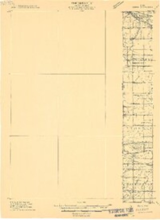
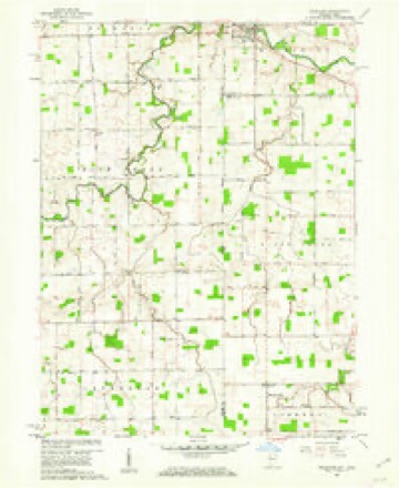
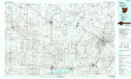
Topographic sheets covering this place
5 surveys from 13 printed sheetsMatched by testing this settlement's coordinate against the published boundary of every sheet in the United States Geological Survey's historical collection. Each opens the scanned sheet at the Survey.
- 1911 USGS Berne quadrangle1:48000
- 1953 USGS Muncie quadrangle1:250000, 5 printings
- 1956 USGS Muncie quadrangle1:250000
- 1960 USGS Willshire quadrangle1:24000, 3 printings
- 1986 USGS Lima quadrangle1:100000, 3 printings


In the county-history sources
2,069 words on this townshipSnow's History of Adams County, Indiana, published 1907 names this settlement in its chapter on Blue Creek Township. These are the passages that mention it, exactly as the scans read.
In 1820 Blue Creek township was the home of one of the first white residents of Adams county. His name was William Lowe, and his cabin was built at the east end of Thompson's prairie on what then was known as the Godfrey trace. This was an Indian trail from the Saint Mary's to the Wabash ana) Salamonie rivers. It connected the Godfrey reservation with the Rivare reservation just across the river from Pleasant Mills. Mr. Lowe remained in this part of the country until 1822, at which time his IKissessions went into the ownership of a Mr. Thompson, after whom the prairie was named. It is said that Mr. Thompson died in the winter of 1831 and was buried by some residents of Willshire. Ohio. That as ihere was no lumber 'at that time to make his coffin, a large ash tree was cut down, a -«g cut from it and split in halves; that a trough was made' for his coffin. It was placed upon a sled drawn by oxen to the place of burial. This township has one of the oldest public roads in the county, the Quaker trace, or the Fort Recovery road, as it is sometimes called. Several old residents state that they well remember seeing Indian families passing to and from their reservations along the Godfrey trace; that it was not unusual to see a squaw leading a pony well loaded with lodge poles, sheet-iron kettle, skins of animals and other trappings; that there were frequently several ponies passing along one after another at the same time; that some had as many as three or four children on one horse; that the Indian man seemed to have little to do but to follow along the trail with the dogs; that in the main these Indians were a very dirty, shaggy-looking set of people; some wore blankets and others were dressed partly in skins, with some white men's clothing; that some of the children and squaws had highly colored scarfs of vellow, red or blue cotton goods wrapped around their bodies over their clothing of skins; that the men all were armed with rifles, knives and tomahawks, and usually carried them wherever they went. Blue Creek is one of the smaller civil corporations and has but one town; that is the village of Salem, which was platted on the 14th day of November, 1867, by George W. Syphers. This town is located at the crossing of the Willshire and Fort Recovery roads in section 17, and has a blacksmith shop, a church, two general stores and some pretty good residence properties. This little town has the distinction of having the only Presbyterian church in the county south of Decatur. This was built here about 1850, was a log structure and has long since been torn away. A few years later the Methodist people erected a frame church building that served their purpose for about twenty years, at which time the present frame church building was put up. Jn east of Salem is the Union chapel, a United Brethren frame church building in section 10. Blue Creek township was organized in JS38, and is a part of what was originally Wabash and Saint Mary's township. Some of its other oldest residents were Denison Tinkam, Tunis Young, Michael Eley, T. D. Braddock, Elijah Gilpen and George Campbell. This township is within less than a mile of the town of Willshire, which was laid out in 1823, and as there were mills, stores and markets there at an early dr.y, and on the plank road, it was
Passage source: Snow's History of Adams County, Indiana, published 1907.
Machine-read from a century-old scan, so expect the errors a machine makes: misspelled names, dropped words, stray characters.
Mines and quarries near this place
1 within 5 milesRegional context, not property-specific evidence. The federal mineral resources record lists 1 working within 5 miles of Salem: 1 producer. All of them still produce. What was taken out: Stone, Crushed/Broken. Distance is straight-line from the map coordinates, so a quarry counted here may appear on a neighbouring settlement's page as well.
| Where | Site | Commodity | Status | Recorded |
|---|---|---|---|---|
| Pleasant Mills Quarry | Stone, Crushed/Broken | Producer |
Storms near this place
1 since 2025Regional context, not property-specific evidence. The National Weather Service names Salem in 1 storm report in 2025: 1 tornado. No death or injury is recorded in these reports. Each account below is quoted exactly as the forecast office filed it, from the NOAA Storm Events Database, and each date opens the federal record of that event.
| When | Event | Place named | Harm | What the report says |
|---|---|---|---|---|
| April 2025 | Tornado (EF1) | Salem | $100,000 | One of two likely simultaneous, parallel moving tornadoes impacted far eastern Adams County on the evening of April 2nd. Damage assessments from Adams County Emergency Management along with an NWS ground survey found evidence consistent with an EF-1 tornado with max estimated wind speeds of 100-105 mph that moved along E 300 near Monroe, IN. Reports from a local provided evidence of several properties that had sustained roof damage were already repaired early in the day. Otherwise, partial destruction and total destruction of well-built pole barns provided the maximum intensity of this particular tornado. The tornado dissipated before it reached the Mercer county line. |
Nearest settlements
The eight closest, with where each one stands in the county. Distances are straight-line, computed from the Geographic Names Information System coordinates.
| Map | Place | Distance | Sheets |
|---|---|---|---|
| Pleasant Mills | 4.2 miles | 12 | |
| Monroe | 4.8 miles | 13 | |
| Coppess Corner | 5.8 miles | 13 | |
| Rivare | 6.6 miles | 12 | |
| Berne | 6.6 miles | 13 | |
| Elm Tree Crossroads | 7.3 miles | 13 | |
| Decatur | 8.8 miles | 13 | |
| Ceylon | 9.3 miles | 12 |
Elsewhere
Matched on this settlement's Geographic Names Information System number rather than its name, so it cannot be a different place of the same name in another state.
| Wikipedia article on Salem | An encyclopaedic summary. Its text is share-alike, so it is linked here rather than copied. |
| Wikidata item Q7403994 | The structured record the population and elevation above come from. Public domain (CC0). |
Provenance
This settlement is recorded in the Geographic Names Information System as feature 442875. The sheet list is computed by point-in-boundary test against the United States Geological Survey's historical topographic inventory. Both are works of the United States government and carry no copyright under 17 U.S.C. 105.
Mines and quarries. USGS Mineral Resources Data System (MRDS) https://mrdata.usgs.gov/mrds/ A work of the United States government, no copyright under 17 U.S.C. 105.
Storms. NOAA National Centers for Environmental Information, Storm Events Database https://www.ncei.noaa.gov/stormevents/ A work of the United States government, no copyright under 17 U.S.C. 105. Narratives are quoted verbatim from the National Weather Service report and are not edited or summarised.