 Block
Springfield, Indiana
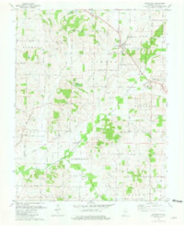
19 topographic sheets cover this place, the earliest surveyed in 1903 and the latest in 1986. It stands in Lynn Township. It lies in ZIP code area 47631. It stands on Old Brook. The Survey maps it on the Wadesville quadrangle. It stands 440 feet above sea level.
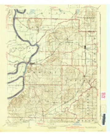
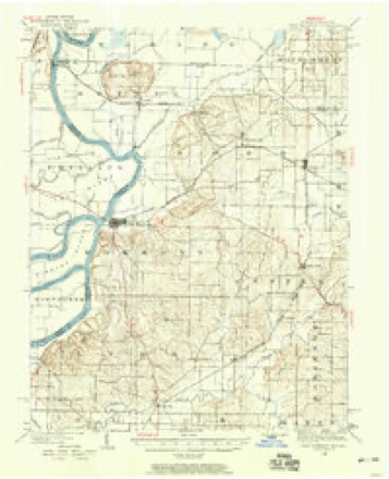
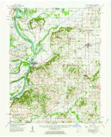
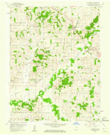
Topographic sheets covering this place
10 surveys from 19 printed sheetsMatched by testing this settlement's coordinate against the published boundary of every sheet in the United States Geological Survey's historical collection. Each opens the scanned sheet at the Survey.
- 1903 USGS New Harmony quadrangle1:62500, 3 printings
- 1903 USGS Patoka quadrangle1:125000, 2 printings
- 1938 USGS New Harmony quadrangle1:62500
- 1956 USGS Vincennes quadrangle1:250000, 4 printings
- 1957 USGS Vincennes quadrangle1:250000
- 1958 USGS Vincennes quadrangle1:250000, 2 printings
- 1959 USGS New Harmony quadrangle1:62500, 2 printings
- 1959 USGS Wadesville quadrangle1:24000
- 1981 USGS Wadesville quadrangle1:24000
- 1986 USGS Princeton quadrangle1:100000, 2 printings





In the county-history sources
19,483 words on this townshipHistory of Posey County, Indiana : from the Earliest Times to the Present, with Biographical Sketches, Reminiscences, Notes, Etc. : Together with an Extended History of the Northwest, the Indiana Territory, and the State of Indiana, published 1886 names this settlement in its chapter on Lynn Township. These are the passages that mention it, exactly as the scans read.
John Turney and Elias Altizer were the first overseers of the poor of the township. Altizer was inspector of electioias before the township was separated from Harmony Township. John Curtis and David Love were constables in 1818, and Frederick Rapp was appointed superintendent of school section for Lynn Township, in March, 1817. James Black built a mill on Big Creek, in Lynn Township near the upper New Harmony and Mount Vernon stage route in 1817. A bridge was built across Big Creek, at Black's Mill, in 1818. Black's first mill was a water-mill, but in 1823 he built a horse-mill near the same place, in addition to his water-mill.
Passage source: History of Posey County, Indiana : from the Earliest Times to the Present, with Biographical Sketches, Reminiscences, Notes, Etc. : Together with an Extended History of the Northwest, the Indiana Territory, and the State of Indiana, published 1886.
In 1823 William Wier built a horse-mill on Mill Creek, in Lynn Township. Abner Coates built a mill on Coates' Creek, in the same township in 1825. George N. Thomas built an ox tread-mill on Big Creek in 1836, and it was burned down in 1841, but was rebuilt again at once and changed to a steam-mill. The second mill was burned in 1848, but Mr. Thomas again erected a new" mill which he used until it was worn out. Grafton marks the site of the mill. In 1822 John Schnee and Joseph Spalding were appointed by the county board to select a lot in Springfield on which to build a schoolhouse. A little later, 1827, a schoolhouse was built on Big Creek. The house was built on the Allison farm and Samuel Annable was the first teacher. In 1818 Thomas Denby and Absalom Henson obtained license to keep tavern and sell liquors in Springfield. The General Baptists buUt a church at Beech Grove in 1870, and called it Bethesda. The trustees of the church were William York, John G. Donaldson and B. S. Aldrich. A church organization had existed here several years previous to the building of the church. The church was quite prosperous for a time under Elder James Eusk, but some difference of opinion as to church polity sprang up and caused a schism in the church. The members are now quite few. The Methodists formerly had a camp ground at Beech Grove. A quarterly meeting was held by them at Beech Grove in 1844. It is related by a reliable citizen of Mount Vernon that at one of these meetings, when it was almost considered a standard of Christianity to shout or to be affected by the "jerks," there was a woman who was considered of rather easy virtue, and who was always very demonstrative in her shouts, to the no little annoyance of other worshipers. Once while in one of her ecstasies, some of the Kennedy and McHenry boys with their companions, managed to throw a well fiUed hornets' nest near her feet, and when the hornets began to express their anger at the treatment they had received the woman shouted, "I already feel the stings of conscience!" This was done to the discomfiture of the worshipers but to the great amusement of the boys.
Passage source: History of Posey County, Indiana : from the Earliest Times to the Present, with Biographical Sketches, Reminiscences, Notes, Etc. : Together with an Extended History of the Northwest, the Indiana Territory, and the State of Indiana, published 1886.
In the early history of the county musters were regularly held. There were the company, battalion, regimental and brigade muster. Among the officers at various times were Gen. William Twigg, Gen. James P. Drake, Col. Zachariah Wade, Col. Jesse Nash, Col. Clement Whiting, Capt. W. J. Lowry, Lieut. John F. Allison, Adjt. Allen and others.
Passage source: History of Posey County, Indiana : from the Earliest Times to the Present, with Biographical Sketches, Reminiscences, Notes, Etc. : Together with an Extended History of the Northwest, the Indiana Territory, and the State of Indiana, published 1886.
Machine-read from a century-old scan, so expect the errors a machine makes: misspelled names, dropped words, stray characters.
Fires near this place
2 since 2003Regional context, not property-specific evidence. The federal wildfire occurrence database lists 2 fires within 5 miles of Springfield between 2003 and 2004, burning about 10 acres in total. None started naturally. None was recorded as arson. Distance is straight-line from the map coordinates, so a fire counted here may appear on a neighbouring settlement's page as well.
| Reported cause | Fires |
|---|---|
| Debris and open burning | 1 |
| Recreation and ceremony | 1 |
The most recent of them, most recent first, with the day each was reported and the service that recorded it.
| Date | Cause | Size | Reported by | Name on the report |
|---|---|---|---|---|
| 27 February 2004 | Debris and open burning | 10 acres | Indiana State Fire Marshal's Office | not named |
| 13 December 2003 | Recreation and ceremony | under an acre | Indiana State Fire Marshal's Office | not named |
Settlements close enough to share some of these fires:
Storms near this place
2 since 2012Regional context, not property-specific evidence. The National Weather Service names Springfield in 2 storm reports between 2012 and 2024: 2 tornado. No death or injury is recorded in these reports. Each account below is quoted exactly as the forecast office filed it, from the NOAA Storm Events Database, and each date opens the federal record of that event.
| When | Event | Place named | Harm | What the report says |
|---|---|---|---|---|
| March 2012 | Tornado (EF2) | Springfield | $500,000 | The tornado began 4.5 miles west southwest of Wadesville and ended 0.6 miles east northeast of Blairsville. The tornado destroyed 1 wood frame house and moderately damaged several others. Several equipment sheds or garages were damaged or destroyed. Several grain bins were destroyed. Over 100 trees were snapped or uprooted. The tornado, which was observed by numerous individuals including storm spotters, had peak winds near 125 mph. |
| July 2024 | Tornado (EF1) | Springfield | $5,000 | The long track cell produced its second Southwest Indiana tornado on the afternoon of July 9th with an EF-1 tornado that began just east of Springfield. A power pole was bent on Oliver Springfield Rd. The tornado tracked to the NNW, damaging a tree grove on Old Beech Creek. Additional tree damage occurred along Old Beech Rd and Lynn Harmony Township Rd with the tornado lifting before reaching Shakerag Rd. Peak estimated winds with this tornado were 105 mph. |
Nearest settlements
The eight closest, with where each one stands in the county. Distances are straight-line, computed from the Geographic Names Information System coordinates.
Elsewhere
Matched on this settlement's Geographic Names Information System number rather than its name, so it cannot be a different place of the same name in another state.
| Wikipedia article on Springfield | An encyclopaedic summary. Its text is share-alike, so it is linked here rather than copied. |
| Wikidata item Q22059197 | The structured record the population and elevation above come from. Public domain (CC0). |
Provenance
This settlement is recorded in the Geographic Names Information System as feature 444010. The sheet list is computed by point-in-boundary test against the United States Geological Survey's historical topographic inventory. Both are works of the United States government and carry no copyright under 17 U.S.C. 105.
Wildfire. Short, Karen C. 2022. Spatial wildfire occurrence data for the United States, 1992-2020 [FPA_FOD_20221014]. 6th Edition. Fort Collins, CO: Forest Service Research Data Archive. https://doi.org/10.2737/RDS-2013-0009.6 Collected with United States Government funding and usable without additional permissions or fees.
Storms. NOAA National Centers for Environmental Information, Storm Events Database https://www.ncei.noaa.gov/stormevents/ A work of the United States government, no copyright under 17 U.S.C. 105. Narratives are quoted verbatim from the National Weather Service report and are not edited or summarised.