 Block
Farmersville, Indiana
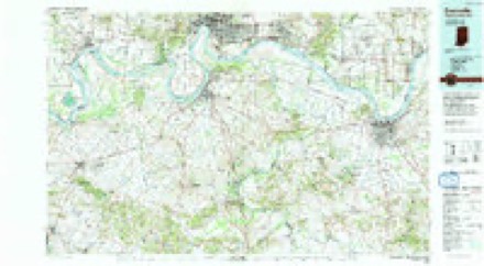
19 topographic sheets cover this place, the earliest surveyed in 1917 and the latest in 1991. It stands in Black Township. It lies in ZIP code area 47620. The Survey maps it on the Mount Vernon quadrangle. It stands 423 feet above sea level.
Topographic sheets covering this place
9 surveys from 19 printed sheetsMatched by testing this settlement's coordinate against the published boundary of every sheet in the United States Geological Survey's historical collection. Each opens the scanned sheet at the Survey.
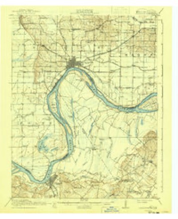
- 1917 USGS Uniontown quadrangle1:62500, 6 printings
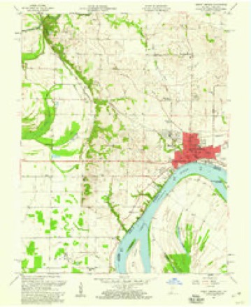
- 1952 USGS Mount Vernon quadrangle1:24000, 2 printings
- 1954 USGS Evansville quadrangle1:250000
- 1957 USGS Evansville quadrangle1:250000, 3 printings
- 1957 USGS Mount Vernon quadrangle1:24000, 2 printings
- 1961 USGS Evansville quadrangle1:250000, 2 printings
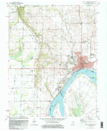
- 1981 USGS Mount Vernon quadrangle1:24000
- 1986 USGS Evansville quadrangle1:100000
- 1991 USGS Evansville quadrangle1:100000
In the county-history sources
35,592 words on this townshipHistory of Posey County, Indiana : from the Earliest Times to the Present, with Biographical Sketches, Reminiscences, Notes, Etc. : Together with an Extended History of the Northwest, the Indiana Territory, and the State of Indiana, published 1886 names this settlement in its chapter on Black Township. These are the passages that mention it, exactly as the scans read.
Peter Schmucker. Philip Stiehe and wife, Carl Schneider and wife and Carl Hens and wife were prominent members at the time of the organization. The church owned by the German Methodists was bought the English speaking Methodists in 1832. In 1883 this society was constituted a self-supporting station, and during this year the parsonage was bought. The following ministers have been appointed to the society since its organization: P. Schmucker, H. Koeneke, C. Heistmeyer, F. Backer, H. Koch, L. Miller, M. Schnurle, Ph. Doerr, J. H. Barth, J. Haus, A. Gerlach, F. A. Hoff, H. Wulzen, J. Eeiber, F. Euff, F. Pfeiffer, H. Wulzen and F. Euff, the present pastor. The following amount of moneys has been raised for the conference year (1884-85): for missionary cause, $110; conference claims, $30 ; orphans, $23 ; Bible, Sunday-school, education freedmen, tract and other causes, $180. Present membership is 175. Pastor's salary, $600.
Passage source: History of Posey County, Indiana : from the Earliest Times to the Present, with Biographical Sketches, Reminiscences, Notes, Etc. : Together with an Extended History of the Northwest, the Indiana Territory, and the State of Indiana, published 1886.
Henry Clay Barter, long before he had arrived at man's estate, about the year 1856, entered into copartnership with his brother James M., in the hardware, stoves and tinware line in Mount Vernon, Ind., and in this line he has continued, -with occasional intermissions, ever since. During the war of the Rebellion he was first lieutenant of a home guard company and drew his pay and spent it like a veteran. He is now (1885) the head of the firm of Barter, Burtis & Templeton, hardware, tinware, stoves and furniture dealers. Mount Vernon, Ind.
Passage source: History of Posey County, Indiana : from the Earliest Times to the Present, with Biographical Sketches, Reminiscences, Notes, Etc. : Together with an Extended History of the Northwest, the Indiana Territory, and the State of Indiana, published 1886.
THOMAS M. McAETHUE, a prominent young business man of Mount Vernon, is the eldest son of Dr. William M. McArthur, of whom proper mention is made elsewhere. He was born in Mount Vernon, Posey Co., January 10, 1860. He remained with his parents until his mother's death in 1864, and then made his home with an aunt living in Grayville, 111., (Mrs. Eosamond Agniel), until 1868, when he returned home and entered school, completing the high school course in 1876. He then taught school in Mount Vernon and in Posey County from 1878 to 1882, and was principal of the West School building of Mount Vernon, three years. In June, 1882, he engaged in the book and stationery business, and has carried on that enterprise ever since with marked success. He has a select stock of goods, books, stationery, wall-paper, mouldings, musical goods, toys and fancy articles. He is a Eepublican in politics.
Passage source: History of Posey County, Indiana : from the Earliest Times to the Present, with Biographical Sketches, Reminiscences, Notes, Etc. : Together with an Extended History of the Northwest, the Indiana Territory, and the State of Indiana, published 1886.
Machine-read from a century-old scan, so expect the errors a machine makes: misspelled names, dropped words, stray characters.
Read the whole chapter on Black Township - it names this place 1 more 1 time.
Mines and quarries near this place
1 within 5 milesRegional context, not property-specific evidence. The federal mineral resources record lists 1 working within 5 miles of Farmersville: 1 producer. All of them still produce. What was taken out: Stone. Distance is straight-line from the map coordinates, so a quarry counted here may appear on a neighbouring settlement's page as well.
| Where | Site | Commodity | Status | Recorded |
|---|---|---|---|---|
| Posey Co. Hwy. Dept. | Stone | Producer |
Storms near this place
2 since 2004Regional context, not property-specific evidence. The National Weather Service names Farmersville in 2 storm reports between 2004 and 2010: 1 flash flood, 1 thunderstorm wind. No death or injury is recorded in these reports. Each account below is quoted exactly as the forecast office filed it, from the NOAA Storm Events Database, and each date opens the federal record of that event.
| When | Event | Place named | Harm | What the report says |
|---|---|---|---|---|
| April 2010 | Thunderstorm Wind | Farmersville | $50,000 | The roof was blown off the gym at the Farmersville elementary school. The roof was blown about 100 yards away. Water damage occurred due to heavy rain that poured into the building. An electronic weather station at the school measured a wind gust to 71 mph. |
| July 2004 | Flash Flood | Farmersville | - | A small creek in rural western Posey County went over its banks and flooded a road. A series of thunderstorms moved over ground that was wet from recent heavy rain. Radar estimated rainfall rates from 1 to 2 inches per hour. |
Nearest settlements
The eight closest, with where each one stands in the county. Distances are straight-line, computed from the Geographic Names Information System coordinates.
| Map | Place | Distance | Sheets |
|---|---|---|---|
| Erwin | 1.2 miles | 19 | |
| Dead Mans Crossing | 1.6 miles | 19 | |
| Solitude | 2.4 miles | 21 | |
| Bufkin | 2.7 miles | 18 | |
| Mount Vernon | 3.3 miles | 19 | |
| Grafton | 3.4 miles | 21 | |
| Upton | 3.6 miles | 19 | |
| Springfield | 4.5 miles | 19 |
Elsewhere
Matched on this settlement's Geographic Names Information System number rather than its name, so it cannot be a different place of the same name in another state.
| Wikipedia article on Farmersville | An encyclopaedic summary. Its text is share-alike, so it is linked here rather than copied. |
| Wikidata item Q22034027 | The structured record the population and elevation above come from. Public domain (CC0). |
Provenance
This settlement is recorded in the Geographic Names Information System as feature 434406. The sheet list is computed by point-in-boundary test against the United States Geological Survey's historical topographic inventory. Both are works of the United States government and carry no copyright under 17 U.S.C. 105.
Mines and quarries. USGS Mineral Resources Data System (MRDS) https://mrdata.usgs.gov/mrds/ A work of the United States government, no copyright under 17 U.S.C. 105.
Storms. NOAA National Centers for Environmental Information, Storm Events Database https://www.ncei.noaa.gov/stormevents/ A work of the United States government, no copyright under 17 U.S.C. 105. Narratives are quoted verbatim from the National Weather Service report and are not edited or summarised.