 Block
Savah, Indiana
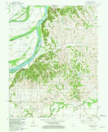
21 topographic sheets cover this place, the earliest surveyed in 1903 and the latest in 1986. It stands in Lynn Township. It lies in ZIP code area 47620. It stands on French Run. The Survey maps it on the Solitude quadrangle.
Topographic sheets covering this place
10 surveys from 21 printed sheetsMatched by testing this settlement's coordinate against the published boundary of every sheet in the United States Geological Survey's historical collection. Each opens the scanned sheet at the Survey.
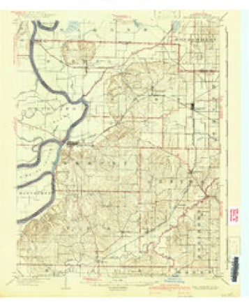
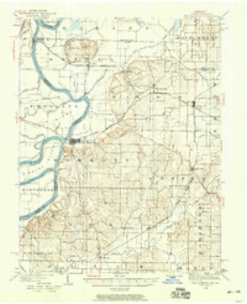
- 1903 USGS New Harmony quadrangle1:62500, 3 printings
- 1903 USGS Patoka quadrangle1:125000, 2 printings
- 1938 USGS New Harmony quadrangle1:62500
- 1956 USGS Vincennes quadrangle1:250000, 4 printings
- 1957 USGS Vincennes quadrangle1:250000
- 1958 USGS Vincennes quadrangle1:250000, 2 printings
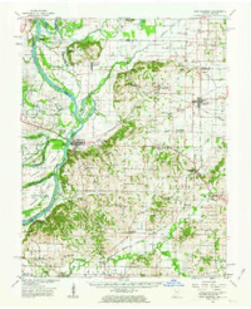
- 1959 USGS New Harmony quadrangle1:62500, 2 printings
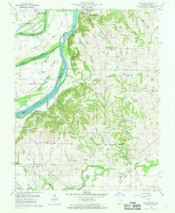
- 1959 USGS Solitude quadrangle1:24000, 2 printings
- 1981 USGS Solitude quadrangle1:24000, 2 printings
- 1986 USGS Princeton quadrangle1:100000, 2 printings





In the county-history sources
19,483 words on this townshipHistory and Directory of Posey County [Indiana] : Containing an Account of the Early Settlement and Organization of the County ... : Also a Complete List of the Tax-payers, Their Post-office Addresses and Places of Residence, Together with a Business Directory of Mt. Vernon and New Harmony ... Also Biographical Sketches of Prominent Citizens of the County, published 1882; History of Posey County, Indiana : from the Earliest Times to the Present, with Biographical Sketches, Reminiscences, Notes, Etc. : Together with an Extended History of the Northwest, the Indiana Territory, and the State of Indiana, published 1886 has no passage naming this settlement, which was common for smaller places. Its township is covered in full.
The chapter on Lynn Township covers the township.
Read the chapter on Lynn Township - 19,483 words.
Mines and quarries near this place
1 within 5 milesRegional context, not property-specific evidence. The federal mineral resources record lists 1 working within 5 miles of Savah: 1 producer. All of them still produce. What was taken out: Sand and Gravel, Construction. Distance is straight-line from the map coordinates, so a quarry counted here may appear on a neighbouring settlement's page as well.
| Where | Site | Commodity | Status | Recorded |
|---|---|---|---|---|
| Maunie Plant/Dredge & Mill | Sand and Gravel, Construction | Producer |
Storms near this place
12 since 2004Regional context, not property-specific evidence. The National Weather Service names Savah in 12 storm reports between 2004 and 2024: 8 flood, 1 hail, 1 flash flood, 1 tornado. No death or injury is recorded in these reports. Each account below is quoted exactly as the forecast office filed it, from the NOAA Storm Events Database, and each date opens the federal record of that event.
| When | Event | Place named | Harm | What the report says |
|---|---|---|---|---|
| April 2024 | Tornado (EF2) | Savah | $130,000 | An EF-2 tornado struck western Posey County, IN, during the early morning hours of April 2nd. This tornado began in far eastern White County, IL, before proceeding to cross the Wabash River into Posey County. The tornado crossed through Harmonie State Park causing significant tree damage. The tornado tracked to the south-southeast, crossing IN-69 near Lynn with several pine trees snapped at the base. Additional tree damage occurred on Harmony Springfield Rd and Springfield Rd, the latter of which also had an outbuilding collapse. The tornado crossed Oliver Rd and Wade Rd, destroying multiple outbuildings and a grain bin while damaging a roof on Oliver Rd. The tornado track shifts northeastward, eventually merging with another tornado west-southwest of the town of Blairsville. In total, hundreds of trees were uprooted or snapped, several outbuildings/sheds were damaged or destroyed, and minor to moderate roof damage occurred to several homes. Estimated peak wind speeds for the tornado as a whole, and in the Posey County segment, are 115 mph. |
| April 2024 | Thunderstorm Wind | Savah | $75,000 | Downburst winds destroyed barns and sheds near Savah. |
| March 2018 | Flood | Savah | $20,000 | Moderate flooding continued on the Wabash River from late February. At the New Harmony river gage, the river crested at 21.21 feet on March 4th. Flood stage there is 15 feet. Floodwaters encroached on parts of northern New Harmony, requiring sandbagging in town. Harmonie State Park was partially inundated and closed. Some stripper oil wells were flooded along the river from New Harmony south. The river was three miles wide at Interstate 64. Considerable flooding of bottomland agricultural land occurred. Some rural county roads were impacted. |
| March 2021 | Flood | Savah | - | Minor flooding occurred on the Wabash River. Low-lying farmland in the flood plain was inundated. The farmland was mainly still unplanted. |
| March 2019 | Flood | Savah | - | Moderate flooding on the Wabash River ended during the first few days of March. At the New Harmony, IN river gage, the river crested at 20.41 feet on February 16th. Flood stage is 15 feet. Considerable flooding of low ground occurred, but most of the low ground was dormant agricultural fields. Some county roads were flooded. Water encroached on parts of northern New Harmony, and Harmonie State Park was closed. Some stripper oil wells were flooded along the river from New Harmony to Mt. Vernon Indiana. |
| March 2019 | Flood | Savah | - | Minor flooding redeveloped on the Wabash River. Low-lying woods and fields and some rural county roads were under water. Crop damage was minimal since planting season was not underway. |
| April 2019 | Flood | Savah | - | Minor flooding occurred on the Wabash River. Low-lying woods and fields were inundated, along with a couple of county roads. |
| February 2018 | Flood | Savah | - | Moderate flooding developed along the Wabash River. Floodwaters encroached on parts of northern New Harmony, requiring sandbagging in town. Harmonie State Park was partially inundated and closed. Some stripper oil wells were flooded along the river from New Harmony south. The river was three miles wide at Interstate 64. Considerable flooding of bottomland agricultural land occurred. Some rural county roads were impacted. The river continued rising into March. |
| April 2017 | Flash Flood | Savah | - | Numerous roads were underwater in the western part of the county. Water rescues were conducted just west of Mt. Vernon. A trained spotter in Poseyville measured 7.10 inches in the past 12 hours. |
| July 2015 | Flood | Savah | - | Minor flooding continued along the Wabash River from June through most of July. Low-lying fields, woodlands, and some oil wells were flooded in the flood plain. |
| December 2015 | Flood | Savah | - | The Wabash River rose above flood stage late in the month, but the crest did not occur until early January. In December, there was minor flooding of low-lying fields and woodlands. Some river access roads were underwater. |
| May 2004 | Hail | Savah | - | no account filed |
Nearest settlements
The eight closest, with where each one stands in the county. Distances are straight-line, computed from the Geographic Names Information System coordinates.
| Map | Place | Distance | Sheets |
|---|---|---|---|
| Welborn Switch | 1.4 miles | 11 | |
| Grafton | 1.7 miles | 21 | |
| Upton | 3.8 miles | 19 | |
| Erwin | 4.1 miles | 19 | |
| Solitude | 4.2 miles | 21 | |
| Farmersville | 5.1 miles | 19 | |
| Dead Mans Crossing | 5.5 miles | 19 | |
| Springfield | 6.0 miles | 19 |
Provenance
This settlement is recorded in the Geographic Names Information System as feature 443047. The sheet list is computed by point-in-boundary test against the United States Geological Survey's historical topographic inventory. Both are works of the United States government and carry no copyright under 17 U.S.C. 105.
Mines and quarries. USGS Mineral Resources Data System (MRDS) https://mrdata.usgs.gov/mrds/ A work of the United States government, no copyright under 17 U.S.C. 105.
Storms. NOAA National Centers for Environmental Information, Storm Events Database https://www.ncei.noaa.gov/stormevents/ A work of the United States government, no copyright under 17 U.S.C. 105. Narratives are quoted verbatim from the National Weather Service report and are not edited or summarised.