 Block
Straughn, Indiana
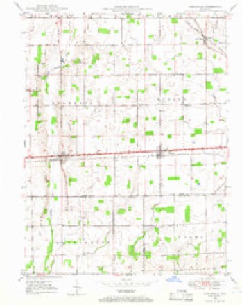
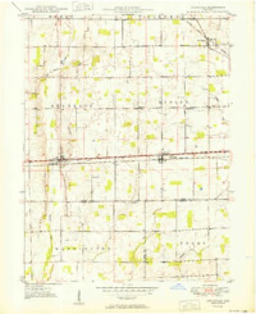
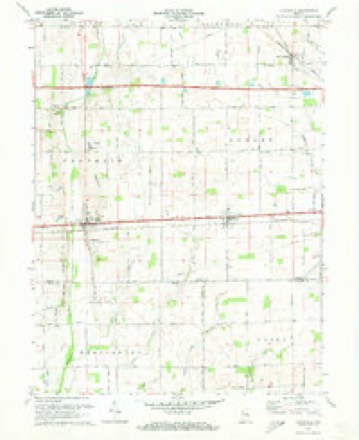
11 topographic sheets cover this place, the earliest surveyed in 1948 and the latest in 1986. It stands in Dudley Township. It lies in ZIP code area 47387. The Survey maps it on the Lewisville quadrangle. 259 people lived here at the 2020 count. It stands 1,096 feet above sea level.
Population over time
2 figuresStraughn grew from 222 to 259 between 2010 and 2020. These are the recorded population figures Wikidata holds for this place, reached through the Geographic Names Information System number this page is keyed on rather than by name, so they belong to this place and not to another of the same name. Most are census counts, but not all are: an early figure may be a founding or settlement estimate, and an estimate published within five years of a census is left out. The change column is computed, and is left blank where more than 20 years separate a figure from the one before it, because a gap that long is not a change between two counts.
| Year | People | Change |
|---|---|---|
| 2010 | 222 | |
| 2020 | 259 | +37 (+17%) |
Topographic sheets covering this place
6 surveys from 11 printed sheetsMatched by testing this settlement's coordinate against the published boundary of every sheet in the United States Geological Survey's historical collection. Each opens the scanned sheet at the Survey.
- 1948 USGS Lewisville quadrangle1:24000
- 1950 USGS Lewisville quadrangle1:24000, 2 printings
- 1953 USGS Cincinnati quadrangle1:250000, 3 printings
- 1957 USGS Cincinnati quadrangle1:250000
- 1970 USGS Lewisville quadrangle1:24000, 2 printings
- 1986 USGS New Castle quadrangle1:100000, 2 printings



In the county-history sources
8,546 words on this townshipHenry County; Past and Present: a Brief History of the County from 1821 to 1871, published 1871; History of Henry County, Indiana : Together with Sketches of Its Cities, Villages, and Towns ... Also a Condensed History of Indiana, Embracing Accounts of Pre-historic Races, Aborigines, Winnebago and Black Hawk Wars, and a Brief Review of Its Civil and Political History., published 1884 names this settlement in its chapter on Dudley Township. These are the passages that mention it, exactly as the scans read.
Dudley was the gateway of the county, as three principal thoroughfares from the east and southeast led through it. It presents, perhaps, less variety of surface than any other township in the county, being almost, entirely table land, lying on "the divide" between Flatrock and West River, with perhaps two-thirds of its surface finding drainage to the latter.
Passage source: Henry County; Past and Present: a Brief History of the County from 1821 to 1871, published 1871.
This old village is situated in the northeastern part of Dudley Township, on the Fort Wayne, Cincinnati & Louisville Railroad. It was located in 1833 by James Donaldson and William Crane, and called Jamestown, after the former. A postoffice with the name New Lisbon was established about 1838. The town was incorporated in 1880, and the census of that year showed a population of 187. It has grown some since, and now has about 260 inhabitants.
Passage source: History of Henry County, Indiana : Together with Sketches of Its Cities, Villages, and Towns ... Also a Condensed History of Indiana, Embracing Accounts of Pre-historic Races, Aborigines, Winnebago and Black Hawk Wars, and a Brief Review of Its Civil and Political History., published 1884.
\ round of log rollings, house raisings, and similar "bees" occupied much of their time, and talk with one of these veterans and you will very likely he told that they enjoyed them- - and fell as hopeful, contented, and happy as at any period since.
Passage source: Henry County; Past and Present: a Brief History of the County from 1821 to 1871, published 1871.
Machine-read from a century-old scan, so expect the errors a machine makes: misspelled names, dropped words, stray characters.
Read the whole chapter on Dudley Township - it names this place 2 more 2 times.
Storms near this place
16 since 2003Regional context, not property-specific evidence. The National Weather Service names Straughn in 16 storm reports between 2003 and 2026: 8 hail, 8 thunderstorm wind. No death or injury is recorded in these reports. Each account below is quoted exactly as the forecast office filed it, from the NOAA Storm Events Database, and each date opens the federal record of that event.
| When | Event | Place named | Harm | What the report says |
|---|---|---|---|---|
| January 2008 | Thunderstorm Wind | Straughn | $60,000 | Damaging thunderstorm winds damaged a semi tractor and a dog house. A shed was also destroyed near this location. A chain link fence was down and a garage had the door blown out of it due to the winds. Part of a roof of a house and also the roof of the porch was blown off nearby. The television antenna at a residence was pulled from the ground and struck the chimney of the house. Trees were reported down around the area. A two story brick building had several rows of bricks blown from the top. Another roof of a house, just east of this location, was blown off. |
| March 2026 | Thunderstorm Wind | Straughn | $2,000 | A tree was downed by thunderstorm wind gusts. |
| March 2023 | Thunderstorm Wind | Straughn | $1,000 | Thunderstorm winds from dissipating supercell downed a small tree at COOP site 1.8 miles east-northeast of Lewisville. |
| March 2012 | Thunderstorm Wind | Straughn | $750 | Power lines were reported down along Highway 40 in the town of Straughn, due to damaging thunderstorm wind gusts. |
| March 2012 | Thunderstorm Wind | Straughn | $100 | A thunderstorm wind gust of 63 mph was measured by a ham raido operator in this location. The gust broke the anemometer shortly thereafter. |
| July 2019 | Thunderstorm Wind | Straughn | - | A 62 mph thunderstorm wind gust was measured in this location. |
| December 2015 | Thunderstorm Wind | Straughn | - | A 64 mph thunderstorm wind gust was measured in this location. |
| May 2012 | Thunderstorm Wind | Straughn | - | An estimated 58 mph thunderstorm wind gust was observed in Straughn. |
| May 2014 | Hail | Straughn | - | no account filed |
| March 2012 | Hail | Straughn | - | no account filed |
| May 2011 | Hail | Straughn | - | no account filed |
| May 2011 | Hail | Straughn | - | no account filed |
| May 2009 | Hail | Straughn | - | no account filed |
| June 2006 | Hail | Straughn | - | no account filed |
| May 2006 | Hail | Straughn | - | no account filed |
| May 2003 | Hail | Straughn | - | no account filed |
Nearest settlements
The eight closest, with where each one stands in the county. Distances are straight-line, computed from the Geographic Names Information System coordinates.
| Map | Place | Distance | Sheets |
|---|---|---|---|
| Lewisville | 3.3 miles | 11 | |
| New Lisbon | 4.0 miles | 11 | |
| Corwin | 5.5 miles | 11 | |
| Pierson Station | 6.8 miles | 11 | |
| Dunreith | 7.8 miles | 10 | |
| Spiceland | 8.1 miles | 10 | |
| Ashland | 8.1 miles | 11 | |
| Millville | 8.3 miles | 11 |
Elsewhere
Matched on this settlement's Geographic Names Information System number rather than its name, so it cannot be a different place of the same name in another state.
| Wikipedia article on Straughn | An encyclopaedic summary. Its text is share-alike, so it is linked here rather than copied. |
| Wikidata item Q1917745 | The structured record the population and elevation above come from. Public domain (CC0). |
Provenance
This settlement is recorded in the Geographic Names Information System as feature 444264. The sheet list is computed by point-in-boundary test against the United States Geological Survey's historical topographic inventory. Both are works of the United States government and carry no copyright under 17 U.S.C. 105.
Storms. NOAA National Centers for Environmental Information, Storm Events Database https://www.ncei.noaa.gov/stormevents/ A work of the United States government, no copyright under 17 U.S.C. 105. Narratives are quoted verbatim from the National Weather Service report and are not edited or summarised.