 Block
Strawtown, Indiana
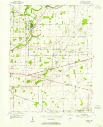
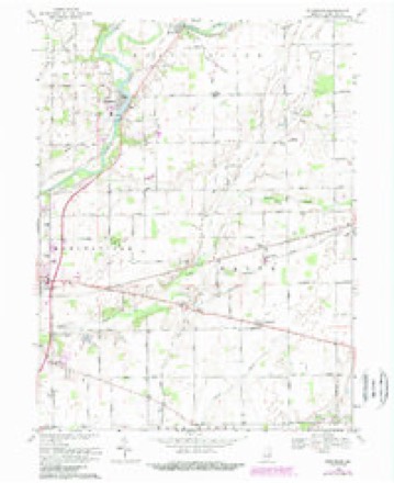
15 topographic sheets cover this place, the earliest surveyed in 1953 and the latest in 1986. It stands in White River Township. It lies in ZIP code area 46060. It stands on Long Branch. The Survey maps it on the Riverwood quadrangle. It stands 791 feet above sea level.
Topographic sheets covering this place
5 surveys from 15 printed sheetsMatched by testing this settlement's coordinate against the published boundary of every sheet in the United States Geological Survey's historical collection. Each opens the scanned sheet at the Survey.
- 1953 USGS Muncie quadrangle1:250000, 5 printings
- 1953 USGS Riverwood quadrangle1:24000, 2 printings
- 1956 USGS Muncie quadrangle1:250000
- 1969 USGS Riverwood quadrangle1:24000, 4 printings
- 1986 USGS Muncie quadrangle1:100000, 3 printings



What happened here
An account from the chapter on White River township. The inset identifies its exact source book and publication year.
Historic Incidents
This settlement is notable for several incidents of an interesting historical character, the first of which occurred in March, 1821, this being the fight be¬ tween John Shintaffer and the Indians, a battle in which one Indian lost his life and a second was severely wounded. The second incident was a sequel of the first, being the killing of Benjamin Fisher by the Indians at Shintaffer' s cabin where the white men and Indians fought the only battle of the kind on
In the county-history sources
10,846 words on this townshipHistory of Hamilton County, Indiana : with Illustrations and Biographical Sketches of Some of Its Prominent Men and Pioneers : to Which Are Appended Maps of Its Several Townships, published 1880 names this settlement in its chapter on White River Township. These are the passages that mention it, exactly as the scans read.
The first school in the township was taught in the winter of 1822. Tho Bcbonlhousc was a little log cabin wbicli stood on the fann of Michael French, opposite Strawtown, and the funds for its maintonanco were contributed from the scanty means of the residents whose children shared the benefit* of tho
Passage source: History of Hamilton County, Indiana : with Illustrations and Biographical Sketches of Some of Its Prominent Men and Pioneers : to Which Are Appended Maps of Its Several Townships, published 1880.
Again, in the rivalry for tho location of the county seat, the claims of Strawtown were presented and strongly urged ; nnd again a rival claimed the victory. The eommitteo appointed at the special session of the Hoard of County Commis-sioncrs in ,'^Inreh, 1824, returned the following report; " Wc proceeded to examine the difierent sites offered for fixing thereon the permanent seat of justice of Hamilton County, with the exception of Strawlown, which wc thought not necessary, it being at so great a distance from tho center of the
Passage source: History of Hamilton County, Indiana : with Illustrations and Biographical Sketches of Some of Its Prominent Men and Pioneers : to Which Are Appended Maps of Its Several Townships, published 1880.
We had some bad citizens, and there was a lack of enterprise ; other towns outgrew us, and, by the time we had relieved ourselves of the lawles-s element, and good citizens had taken control, wc awoke to the fact that the business which formerly eainc to Strawtown had been diverted to other points, and our loss was beyond retrieve."
Passage source: History of Hamilton County, Indiana : with Illustrations and Biographical Sketches of Some of Its Prominent Men and Pioneers : to Which Are Appended Maps of Its Several Townships, published 1880.
Machine-read from a century-old scan, so expect the errors a machine makes: misspelled names, dropped words, stray characters.
Read the whole chapter on White River Township - it names this place 15 more 15 times.
Mines and quarries near this place
1 within 5 milesRegional context, not property-specific evidence. The federal mineral resources record lists 1 working within 5 miles of Strawtown: 1 producer. All of them still produce. What was taken out: Sand and Gravel, Construction. Distance is straight-line from the map coordinates, so a quarry counted here may appear on a neighbouring settlement's page as well.
| Where | Site | Commodity | Status | Recorded |
|---|---|---|---|---|
| Southard Pit | Sand and Gravel, Construction | Producer |
Storms near this place
3 since 2011Regional context, not property-specific evidence. The National Weather Service names Strawtown in 3 storm reports between 2011 and 2019: 1 hail, 1 thunderstorm wind, 1 flood. No death or injury is recorded in these reports. Each account below is quoted exactly as the forecast office filed it, from the NOAA Storm Events Database, and each date opens the federal record of that event.
| When | Event | Place named | Harm | What the report says |
|---|---|---|---|---|
| February 2019 | Flood | Strawtown | $2,000 | Twelve places along 234th Street between Cicero and Anderson had standing water covering the road due to heavy rainfall. |
| July 2013 | Thunderstorm Wind | Strawtown | $1,500 | A tree was reported down along Strawtown Avenue, two miles east of Highway 37, due to damaging thunderstorm wind gusts. Tree branches were also reported down as well as a flattened corn field. |
| May 2011 | Hail | Strawtown | - | Golf ball sized hail was reported to be covering the ground near 246th Street and Brehm Road. |
Nearest settlements
The eight closest, with where each one stands in the county. Distances are straight-line, computed from the Geographic Names Information System coordinates.
| Map | Place | Distance | Sheets |
|---|---|---|---|
| Clare | 1.0 miles | 15 | |
| Riverwood | 2.0 miles | 15 | |
| Walnut Grove | 2.7 miles | 12 | |
| Cicero | 3.7 miles | 15 | |
| Meadows Knoll | 4.1 miles | 15 | |
| Meadows Glen | 4.4 miles | 15 | |
| Durbin | 5.0 miles | 15 | |
| Omega | 5.2 miles | 12 |
Elsewhere
Matched on this settlement's Geographic Names Information System number rather than its name, so it cannot be a different place of the same name in another state.
| Wikipedia article on Strawtown | An encyclopaedic summary. Its text is share-alike, so it is linked here rather than copied. |
| Wikidata item Q7622552 | The structured record the population and elevation above come from. Public domain (CC0). |
Provenance
This settlement is recorded in the Geographic Names Information System as feature 444266. The sheet list is computed by point-in-boundary test against the United States Geological Survey's historical topographic inventory. Both are works of the United States government and carry no copyright under 17 U.S.C. 105.
Mines and quarries. USGS Mineral Resources Data System (MRDS) https://mrdata.usgs.gov/mrds/ A work of the United States government, no copyright under 17 U.S.C. 105.
Storms. NOAA National Centers for Environmental Information, Storm Events Database https://www.ncei.noaa.gov/stormevents/ A work of the United States government, no copyright under 17 U.S.C. 105. Narratives are quoted verbatim from the National Weather Service report and are not edited or summarised.