 Block
Underwood, Indiana
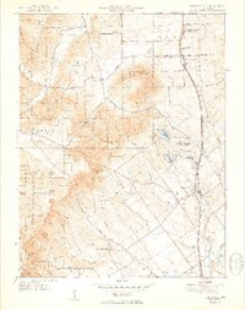
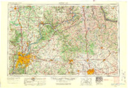
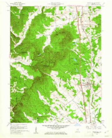
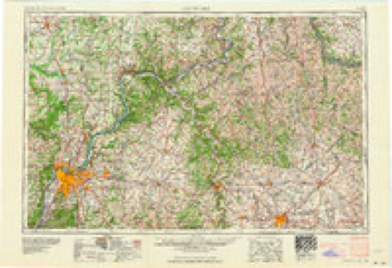
11 topographic sheets cover this place, the earliest surveyed in 1949 and the latest in 1990. It stands in Monroe Township. It lies in ZIP code area 47177. It stands on Underwood Drain. The Survey maps it on the Henryville quadrangle. It stands 623 feet above sea level.
Topographic sheets covering this place
6 surveys from 11 printed sheetsMatched by testing this settlement's coordinate against the published boundary of every sheet in the United States Geological Survey's historical collection. Each opens the scanned sheet at the Survey.
- 1949 USGS Henryville quadrangle1:24000, 2 printings
- 1956 USGS Louisville quadrangle1:250000, 2 printings
- 1960 USGS Henryville quadrangle1:24000, 4 printings
- 1964 USGS Louisville quadrangle1:250000
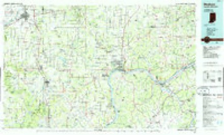
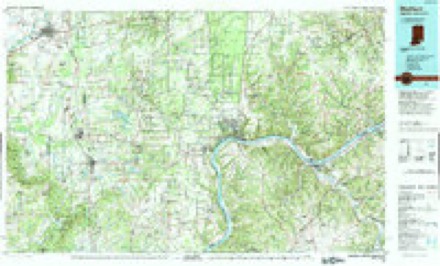
- 1986 USGS Madison quadrangle1:100000
- 1990 USGS Madison quadrangle1:100000
Mines and quarries near this place
10 of 14 shownRegional context, not property-specific evidence. The federal mineral resources record lists 14 workings within 5 miles of Underwood: 14 occurrences. None of them still produces. What was taken out: Iron, Fluorine-Fluorite. Distance is straight-line from the map coordinates, so a quarry counted here may appear on a neighbouring settlement's page as well.
| Where | Site | Commodity | Status | Recorded |
|---|---|---|---|---|
| Fluorite Occurrence Number 1 | Fluorine-Fluorite | Occurrence | ||
| Fluorite Occurrence Number 1 | Fluorine-Fluorite | Occurrence | ||
| Unnamed Prospect | Iron | Occurrence | ||
| Unnamed Prospect | Iron | Occurrence | ||
| Unnamed Prospect | Iron | Occurrence | ||
| Unnamed Prospect | Iron | Occurrence | ||
| Unnamed Prospect | Iron | Occurrence | ||
| Unnamed Prospect | Iron | Occurrence | ||
| Unnamed Prospect | Iron | Occurrence | ||
| Unnamed Prospect | Iron | Occurrence |
Storms near this place
9 since 1997Regional context, not property-specific evidence. The National Weather Service names Underwood in 9 storm reports between 1997 and 2025: 4 thunderstorm wind, 3 hail, 1 flash flood, 1 tornado. No death or injury is recorded in these reports. Each account below is quoted exactly as the forecast office filed it, from the NOAA Storm Events Database, and each date opens the federal record of that event.
| When | Event | Place named | Harm | What the report says |
|---|---|---|---|---|
| April 1997 | Thunderstorm Wind | Underwood | $5,000 | no account filed |
| June 2025 | Thunderstorm Wind | Underwood | - | Trees were blown down into the roadway and power lines were down on Country Lane Road. |
| February 2024 | Tornado (EF1) | Underwood | - | The National Weather Service conducted a storm damage assessment|survey in Clark County, Indiana after the pre-dawn storms of|February 10, 2024. The survey team found a tornado on the south|side of Underwood starting at the shoulder on Interstate 65 and|continuing to just east of US 31.||The tornado touched down just east of mile marker 23 on Interstate|65. Some trees were snapped near the interstate with wind speeds|estimated at 85 mph, which is EF-0 with a width of 50 yards.||The tornado increased in windspeed and width at the end of|Henretty Road. The tornado destroyed two large older barns, taking|the metal sheeting from the barn and twisting it around numerous|trees. Some boards were impaled in the ground. Drone photography|was instrumental in determining the tornado by delineating downed|tree damage. Trees were snapped, uprooted, and topped, with trees|lying from the north northeast to the east southeasterly|direction. A nearby family home had soffit, gutter, and shingle|damage. Winds were estimated at 90 mph with a width of 75 yards.||The tornado continued to the east, snapping power poles along US|31 and uprooting a couple of trees. Winds were estimated at 80 mph|with a width of 60 yards.||The tornado did extensive damage along Old State Road. A mixture|of hardwood and softwood trees were facing from the north|northeast all the way to the southerly direction. Winds were|estimated at 87 mph with a width of 60 yards. There was no |evidence of any further tornadic damage off Beagle Club Road past |the large pond just east of Old State Road.||Even though there was a tornado, there were many dozens of trees|that were topped and uprooted by straight line winds in the|Underwood community. Some trees fell on outbuildings, power |lines, and blocked roads including US 31. One home at 310 Henretty|Road had a large portion of the roof collapse into the bedroom. |Fortunately, the homeowner had gone down to check on his sump pump|just before a large portion of the roof collapsed onto his bed. |Winds were 85 mph at this location. The straight line winds|started by knocking over an Amazon truck on Interstate 65 at the|23 mile marker. Straight line wind damage in Underwood ranged from|75 to 85 mph.||There was sporadic straight line wind damage from Underwood to|Marysville and New Washington. The most significant damage was|near IN 3 and IN 203 at a sod farm, where a large 100 x 50 foot|barn had major roof and siding damage. Drone photography showed no|tree damage next to this barn and all of the barn damage fell to|the east into a field. Wind speeds were estimated to be 85 mph.||The survey team drove to Washington County, Indiana, and looked at|damage along Canton South Boston Road. Straight line winds of 80 |to 85 mph uprooted or snapped 11 trees in a forest grove on the |west side of the road and destroyed two storage buildings. Debris |from the storage buildings was thrown over the road and downwind |up to 300 yards, all to the east northeast. |
| January 2020 | Thunderstorm Wind | Underwood | - | A tree was in the roadway on the 10500 block of West Brownstown Road. |
| August 2017 | Hail | Underwood | - | Dime-sized hail covered the ground. |
| March 2011 | Hail | Underwood | - | Hail completely covered the ground near the Clark and Scott county line. |
| March 2008 | Flash Flood | Underwood | - | High water resulting from heavy rain closed sections of the Utica-Sellersburg Road, and the Memphis-Charlestown Road. Portions of U.S. Highway 31 were flooded and closed. |
| March 2011 | Hail | Underwood | - | no account filed |
| June 1998 | Thunderstorm Wind | Underwood | - | no account filed |
Nearest settlements
The eight closest, with where each one stands in the county. Distances are straight-line, computed from the Geographic Names Information System coordinates.
| Map | Place | Distance | Sheets |
|---|---|---|---|
| Henryville | 4.3 miles | 11 | |
| New Liberty | 5.5 miles | 11 | |
| Blue Lick | 6.8 miles | 11 | |
| Marysville | 7.0 miles | 8 | |
| Otisco | 7.1 miles | 8 | |
| Memphis | 8.3 miles | 14 | |
| New Market | 9.6 miles | 9 | |
| Sylvan Grove | 9.6 miles | 15 |
Elsewhere
Matched on this settlement's Geographic Names Information System number rather than its name, so it cannot be a different place of the same name in another state.
| Wikipedia article on Underwood | An encyclopaedic summary. Its text is share-alike, so it is linked here rather than copied. |
| Wikidata item Q7883900 | The structured record the population and elevation above come from. Public domain (CC0). |
Provenance
This settlement is recorded in the Geographic Names Information System as feature 445042. The sheet list is computed by point-in-boundary test against the United States Geological Survey's historical topographic inventory. Both are works of the United States government and carry no copyright under 17 U.S.C. 105.
Mines and quarries. USGS Mineral Resources Data System (MRDS) https://mrdata.usgs.gov/mrds/ A work of the United States government, no copyright under 17 U.S.C. 105.
Storms. NOAA National Centers for Environmental Information, Storm Events Database https://www.ncei.noaa.gov/stormevents/ A work of the United States government, no copyright under 17 U.S.C. 105. Narratives are quoted verbatim from the National Weather Service report and are not edited or summarised.