 Block
West Newton, Indiana
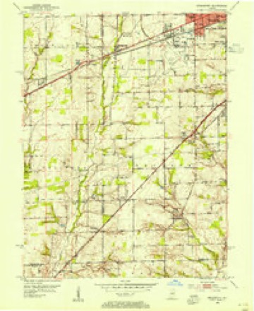
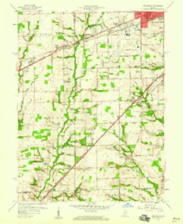
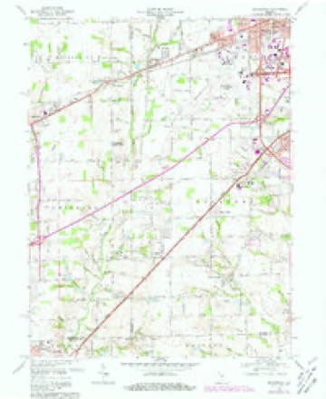
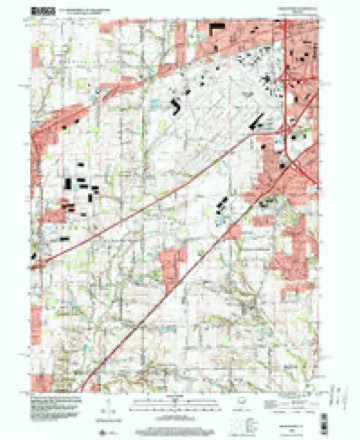
17 topographic sheets cover this place, the earliest surveyed in 1953 and the latest in 1998. It stands in Decatur Township. It lies in ZIP code area 46183. It stands on Newton Branch. The Survey maps it on the Bridgeport quadrangle.
Topographic sheets covering this place
9 surveys from 17 printed sheetsMatched by testing this settlement's coordinate against the published boundary of every sheet in the United States Geological Survey's historical collection. Each opens the scanned sheet at the Survey.
- 1953 USGS Bridgeport quadrangle1:24000
- 1953 USGS Indianapolis quadrangle1:250000, 4 printings
- 1956 USGS Indianapolis quadrangle1:250000
- 1957 USGS Indianapolis quadrangle1:250000, 2 printings
- 1959 USGS Bridgeport quadrangle1:24000
- 1962 USGS Indianapolis quadrangle1:250000
- 1966 USGS Bridgeport quadrangle1:24000, 4 printings
- 1986 USGS Indianapolis quadrangle1:100000, 2 printings
- 1998 USGS Bridgeport quadrangle1:24000





In the county-history sources
7,094 words on this townshipHistory of Indianapolis and Marion County, Indiana, published 1884 names this settlement in its chapter on Decatur Township. These are the passages that mention it, exactly as the scans read.
Joseph Mendenhall, a native of North Carolina, came from Ohio to Decatur in 1822, and settled near where West Newton now is. In 1829 he was assessed on lands, the southwest quarter of section 23, township 14, range 2. He died in 1868, at the age of eighty-two years. Two of his sons (Eli and Atha) and four daughters live in the township, also one daughter in Kansas.
Passage source: History of Indianapolis and Marion County, Indiana, published 1884.
Richard Mendenhall, brother of Joseph, came to Deeatur in 1823. His lands are described in the assessment-roll of 1829 as the northeast quarter of section 22, township 14, range 2. He moved in about 1852 to Iowa, where he died in 1868, in his eighty-fourth year. His widow is (or was very recently) living at near one hundred years of age. One son, William, lives near West Newton village ; the rest of the family made their homes in Iowa.
Passage source: History of Indianapolis and Marion County, Indiana, published 1884.
Joseph Allen, the west half of the northeast quarter of section 9, township 14, range 2. Mr. Allen was a native of North Carolina, and came to this county in 1826. He was the father of ex County Commissioner Moses Allen, a prominent farmer and stock-raiser ; of Dr. W. Allen, the well-known and popular physician of West Newton ; of Preston Allen, deceased ; and of Joseph Allen, a leading farmer and dealer in stock, who owns and occupies the homestead farm of his father in Decatur.
Passage source: History of Indianapolis and Marion County, Indiana, published 1884.
Machine-read from a century-old scan, so expect the errors a machine makes: misspelled names, dropped words, stray characters.
Read the whole chapter on Decatur Township - it names this place 5 more 5 times.
Mines and quarries near this place
4 within 5 milesRegional context, not property-specific evidence. The federal mineral resources record lists 4 workings within 5 miles of West Newton: 2 producers, 2 past producers. 2 still produce. What was taken out: Sand and Gravel, Construction, Clay. Distance is straight-line from the map coordinates, so a quarry counted here may appear on a neighbouring settlement's page as well.
| Where | Site | Commodity | Status | Recorded |
|---|---|---|---|---|
| Indiana Tile Clay and Shale Pit | Clay | Past Producer | ||
| Central Aggregates Pit | Sand and Gravel, Construction | Producer | ||
| Central Aggregates Pit | Sand and Gravel, Construction | Producer | ||
| Port Royal Pit | Sand and Gravel, Construction | Past Producer |
Storms near this place
4 since 2004Regional context, not property-specific evidence. The National Weather Service names West Newton in 4 storm reports between 2004 and 2015: 2 flood, 1 tornado, 1 hail. No death or injury is recorded in these reports. Each account below is quoted exactly as the forecast office filed it, from the NOAA Storm Events Database, and each date opens the federal record of that event.
| When | Event | Place named | Harm | What the report says |
|---|---|---|---|---|
| June 2015 | Flood | West Newton | $500 | Water was reported across Trotter Road due to heavy rainfall. |
| April 2014 | Flood | West Newton | $500 | Water was reported to be 3 inches deep on Mann Road near the Morgan-Marion county line due to thunderstorm heavy rainfall. |
| May 2004 | Tornado (F0) | West Newton | - | An F0 tornado touched down just southwest of Friendswood in southwest Hendricks County and moved 4.1 miles northeast to just north of West Newton in Marion County per National Weather Service storm survey. |
| April 2006 | Hail | West Newton | - | no account filed |
Nearest settlements
The eight closest, with where each one stands in the county. Distances are straight-line, computed from the Geographic Names Information System coordinates.
| Map | Place | Distance | Sheets |
|---|---|---|---|
| Maple Ridge | 1.7 miles | 17 | |
| Camby | 1.9 miles | 17 | |
| Valley Mills | 2.6 miles | 17 | |
| Sunshine Gardens | 4.5 miles | 17 | |
| Glenns Valley | 4.6 miles | 17 | |
| Mars Hill | 5.6 miles | 17 | |
| Bridgeport | 5.8 miles | 17 | |
| Maywood | 6.2 miles | 17 |
Provenance
This settlement is recorded in the Geographic Names Information System as feature 445794. The sheet list is computed by point-in-boundary test against the United States Geological Survey's historical topographic inventory. Both are works of the United States government and carry no copyright under 17 U.S.C. 105.
Mines and quarries. USGS Mineral Resources Data System (MRDS) https://mrdata.usgs.gov/mrds/ A work of the United States government, no copyright under 17 U.S.C. 105.
Storms. NOAA National Centers for Environmental Information, Storm Events Database https://www.ncei.noaa.gov/stormevents/ A work of the United States government, no copyright under 17 U.S.C. 105. Narratives are quoted verbatim from the National Weather Service report and are not edited or summarised.