 Block
Walkerton, Indiana
10 topographic sheets cover this place, the earliest surveyed in 1953 and the latest in 1984. It stands in Lincoln Township. It lies in ZIP code area 46574. It stands on Jordans Creek. The Survey maps it on the Walkerton quadrangle. 2,096 people lived here at the 2020 count. It stands 722 feet above sea level.
On record in Walkerton
Buildings and businesses the archive holds for this place. Each opens its own page, with the source record it came from.
On the National Register 1 record
- Walkerton Historic Districtlisted 2021
Population over time
2 figuresWalkerton fell from 2,144 to 2,096 between 2010 and 2020. These are the recorded population figures Wikidata holds for this place, reached through the Geographic Names Information System number this page is keyed on rather than by name, so they belong to this place and not to another of the same name. Most are census counts, but not all are: an early figure may be a founding or settlement estimate, and an estimate published within five years of a census is left out. The change column is computed, and is left blank where more than 20 years separate a figure from the one before it, because a gap that long is not a change between two counts.
| Year | People | Change |
|---|---|---|
| 2010 | 2,144 | |
| 2020 | 2,096 | -48 (-2%) |
Topographic sheets covering this place
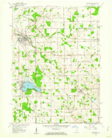
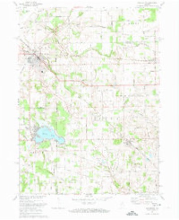
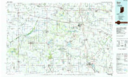
5 surveys from 10 printed sheetsMatched by testing this settlement's coordinate against the published boundary of every sheet in the United States Geological Survey's historical collection. Each opens the scanned sheet at the Survey.
- 1953 USGS Chicago quadrangle1:250000, 5 printings
- 1957 USGS Chicago quadrangle1:250000
- 1958 USGS Walkerton quadrangle1:24000
- 1972 USGS Walkerton quadrangle1:24000
- 1984 USGS Knox quadrangle1:100000, 2 printings


In the county-history sources
8,050 words on this townshipHistory of St. Joseph County, Indiana :, published 1880 names this settlement in its chapter on Lincoln Township. These are the passages that mention it, exactly as the scans read.
The territory now included in Lincoln township was formerly a part of the territory that constituted Liberty township, and owing to the p;reat inconveniences to which tiie settlers in what is now Lincoln township were subjected in attending elections, they in June, 1S6U, presented to the Board petitions for the territory now included in the limits of Lincoln township to be detached and made an independent township, and that Walkerton should be the place of holding their elections, and that the township be given the name of Lincoln. Their petitions were granted by the Board, and the township was detached, and Wm. A. Ilawe was appointed Trustee.
Passage source: History of St. Joseph County, Indiana :, published 1880.
The first election in this township was held in April, 18G7, at the Walkerton Hotel, Mr. Wm. A. Haven acting as Inspector, Robert A. Wilson and J. O. Akin as Judges, and Paul Straub, Clerk. At this election K!6 votes were cast. Tiie following persons were elected to ofKce, viz.: Neely Frame, Justice of the Peace; A. O. Hamilton, Trustee; and Zebedee James and Samuel Hudelmyer, Constables. At the next election Wm. J. AVolfe and John Caiman were elected Justices of the Peace, and H. J. Kinney, Trustee, which office he held till ]1S7G. The present Justices are S. J. Nichols and Amos H. Stevison; the Trustee is Silas George.
Passage source: History of St. Joseph County, Indiana :, published 1880.
The only town in Lincoln township is Walkerton. This town was laid out in March, 1857, by one Mr. Allen. " West Troy," as it was formerly called, and which now forms a part of the town of Walkerton, was a village of only a few houses situated at tlie junction of the L, P. & C. with the B. & O. railroad. This village was laid out in 1855. The postoffice was designated as West York, and was situated one-half mile south of Walkerton. It was kept by Mr. C. W. N. Stephens, who had established it in 1851, and was the first appointee. He also had a grocery store, and still holds the position of Postmaster. The mail at that time was being conveyed (733) by the hack from La Porte to Plymouth, there being no raihoads here. In 1854: Mr. Stephens built the first house in Walkerton, and also erected a store- building, and soon after opened a store, which was the first in the place. Tlie site of Walkerton was then covered with a dense thicket. No roads had yet been laid out. The settlers there who had stores would go out before breakfast, as they had leisure no other time of day, and chop and slash down the underbrush to make roads through which teams might pass.
Passage source: History of St. Joseph County, Indiana :, published 1880.
Machine-read from a century-old scan, so expect the errors a machine makes: misspelled names, dropped words, stray characters.
Read the whole chapter on Lincoln Township - it names this place 24 more 24 times.
Storms near this place
12 since 1994Regional context, not property-specific evidence. The National Weather Service names Walkerton in 12 storm reports between 1994 and 2024: 8 thunderstorm wind, 2 hail, 1 tornado, 1 flash flood. No death or injury is recorded in these reports. Each account below is quoted exactly as the forecast office filed it, from the NOAA Storm Events Database, and each date opens the federal record of that event.
| When | Event | Place named | Harm | What the report says |
|---|---|---|---|---|
| July 2005 | Thunderstorm Wind | Walkerton | $350,000 | A path of damage was reported starting in the Walkerton area, continuing through North Liberty and Lakeville before ending near the Elkhart county line. A tree fell onto a unoccupied truck in Walkerton with trees and power lines down in this city as well. The most concentrated damage extended from North Liberty to Lakeville where winds were estimated to 75 mph. Numerous large maple trees and power lines were blown down across this area. Several homes, vehicles and other buildings in these areas suffered damage as a result of falling trees. A few of the homes were nearly destroyed. |
| July 1994 | Thunderstorm Wind | Walkerton | $5,000 | Power lines were downed. |
| March 2023 | Hail | Walkerton | $2,000 | Ping pong ball size hail reported. |
| March 2023 | Hail | Walkerton | $2,000 | Ping pong ball sized hail. |
| May 2024 | Thunderstorm Wind | Walkerton | $1,000 | Large tree snapped in Walkerton. Photo on Facebook. |
| July 2012 | Flash Flood | Walkerton | - | The public reported water running over several roads in and around Walkerton. Rainfall reports from spotters and CoCoRAHS observers indicated that one and one half to nearly three inches of rain fell within a few hour period. |
| July 2011 | Thunderstorm Wind | Walkerton | - | Law Enforcement officials reported trees and power lines down in town from strong winds. |
| June 2010 | Thunderstorm Wind | Walkerton | - | Media reports a large tree down 2 miles east of Walkerton. |
| July 2004 | Thunderstorm Wind | Walkerton | - | Large tree blown down. |
| July 1998 | Tornado (F0) | Walkerton | - | ST JOSEPH COUNTY POLICE REPORTED TORNADO TOUCHDOWN AT ROUTE 104 AND BARLEY ROAD. SHED WAS BLOWN APART AND A BOAT WAS BLOWN ACROSS A FIELD WHICH WAS LATER CONFIRMED BY A NWS EMPLOYEE. |
| June 1994 | Thunderstorm Wind | Walkerton | - | Trees were blown down bye 60 to 70 mph winds. |
| August 1996 | Thunderstorm Wind | Walkerton | - | no account filed |
Nearest settlements
The eight closest, with where each one stands in the county. Distances are straight-line, computed from the Geographic Names Information System coordinates.
| Map | Place | Distance | Sheets |
|---|---|---|---|
| North Liberty | 5.5 miles | 12 | |
| Pine Station | 9.4 miles | 11 | |
| Crumstown | 11.6 miles | 12 | |
| Lakeville | 11.8 miles | 11 | |
| Colburn | 12.7 miles | 11 | |
| Nutwood | 13.8 miles | 11 | |
| Midway Corners | 15.3 miles | 11 | |
| Westfield | 15.4 miles | 11 |
Elsewhere
Matched on this settlement's Geographic Names Information System number rather than its name, so it cannot be a different place of the same name in another state.
| Wikipedia article on Walkerton | An encyclopaedic summary. Its text is share-alike, so it is linked here rather than copied. |
| Wikidata item Q2496370 | The structured record the population and elevation above come from. Public domain (CC0). |
Provenance
This settlement is recorded in the Geographic Names Information System as feature 452831. The sheet list is computed by point-in-boundary test against the United States Geological Survey's historical topographic inventory. Both are works of the United States government and carry no copyright under 17 U.S.C. 105.
Storms. NOAA National Centers for Environmental Information, Storm Events Database https://www.ncei.noaa.gov/stormevents/ A work of the United States government, no copyright under 17 U.S.C. 105. Narratives are quoted verbatim from the National Weather Service report and are not edited or summarised.