 Block
White River, Indiana
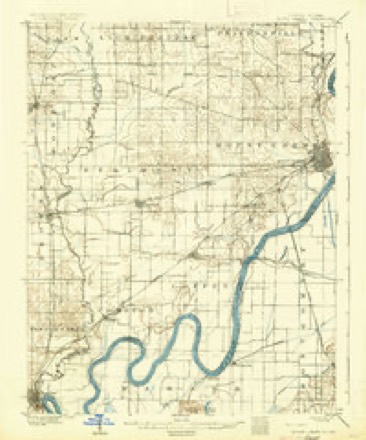
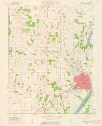
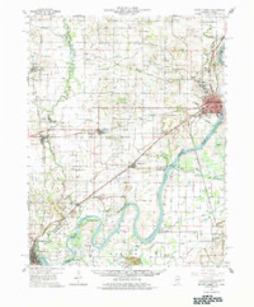
20 topographic sheets cover this place, the earliest surveyed in 1903 and the latest in 1986. It stands in White River Township. It lies in ZIP code area 47665. It stands on Patoka River. The Survey maps it on the Mount Carmel quadrangle.
Topographic sheets covering this place
8 surveys from 20 printed sheetsMatched by testing this settlement's coordinate against the published boundary of every sheet in the United States Geological Survey's historical collection. Each opens the scanned sheet at the Survey.
- 1903 USGS Patoka quadrangle1:125000, 2 printings
- 1904 USGS Mount Carmel quadrangle1:62500, 3 printings
- 1956 USGS Vincennes quadrangle1:250000, 4 printings
- 1957 USGS Vincennes quadrangle1:250000
- 1958 USGS Vincennes quadrangle1:250000, 2 printings
- 1959 USGS Mount Carmel quadrangle1:24000, 4 printings
- 1959 USGS Mount Carmel quadrangle1:62500, 2 printings
- 1986 USGS Princeton quadrangle1:100000, 2 printings





In the county-history sources
10,128 words on this townshipSPC BOOKS STOR - 977.235 H History Of Gibson County Indiana, published 1884 names this settlement in its chapter on White River Township. These are the passages that mention it, exactly as the scans read.
It is fairly supplied with wagon roads leading in different directions through the hilly and along the bottoms. The Evansville & Terre Haute Railroad enters it on Section 25, and passing in a northeasterly direction leaves the township on Section 16. White River has three stations - Patoka, Miller and Hazleton - on this road. This rond, in addition to Patoka and White
Passage source: SPC BOOKS STOR - 977.235 H History Of Gibson County Indiana, published 1884.
Are among the old settlers of Gibson County. They are descended from English and Irish ancestry. They settled in Kentucky soon after the clese of the Revolutionary War. Keen Fields, the grandfather of the present family, was a native of Kentucky, and emigrated to Indiana while it was yet under territorial orm of government. He made his first home «n a militia tract enst aud adjoining the fann of Mrs. Nancy A. Richards (whose maiden name was Fields) in White 'Township. He there opened up a farm and made it his permanent place of abode, until his death, which 'occurred in 1816, He married Auna West, who servived him a number of years. Dy that union there were ten children, eight sons and two daughters. On yet survives. The youngest son to und yet in his boybocd when the fainily lended here. He followed, for the grenter portion of hiv life, the peaceful occupation of a farmer. He also built Hnt boats mud teamed, from Evansville to Terre Haute und was before the days of railroads hemestend April 12, 1870. Ho marred Grace daughter of William and Esther Reincy, who ere of Ireland, William Reiney was borê in Dubli in 1776. He married Esther Robinson, who was bern Ireland in 1777. The marriage teok place in 1708 in South Carolina. Me, Reiney in Missouri Jan. 15, 1646 his wife died in South Carolina Nov. 9, 1900. They emigrated to America and settled in South Caroling, where Mis. Grace Fields was born July 31, 1797. She died March 31, 1862." By that union there ten children - six sons and four daughters, ive of whom have survived the parents and are yet living. Keen W. Fields, one of the surviving sons, is a substantial former and resident of Shelby County, Cynthia is the wife of L. H. Turner and is also a resident of the above named county. Benjamin R., a resident of this county, Stephen L., of Toledo, Cumberland County, TL, and Mrs. Nancy A. Richards, the subject cf tise | sketch, are the names of the survivors of the family of Abrabam Fields. Mrs. Nancy A. Richerds was born on the old lcmestead in White River Township, Gibson County, Ind., Jan, 12, 1828. Sbe remained at home until her marriage to William Martin, which happy event occurred Aug. 5, 1840. Mr. Martin was a | mine of Kentucky: He died Feb 1471852, leaving his widow and three children. One only yet survive | whose name is Jane. She is the wife of James L. | Erwin. They have four children, whose names are | Nannie A., Anna Maud, Nicks A. B. and Edna Florence Erwin. On the 4th of May, 1864 Mre. Martin, married Mr. Nicks A. Richards. » He was a native of Tennessee, born near the city of Nashville March 16, 1829. The family emigrated soon after birth to Richland County, where Mr. Richards v reared. He came to Gibson County in 1862, where he remained until his death, which sad event occurred July 19, 1874. This union was productivo of great happiness, us Mr. Richards was a kind, indulgent husband, possessing an affectionate nature and domestic habits. He was a strong believerin thereigious tenets 'of the Baptist Church, altbough nota member of that religious organization. He died universally regretted. The portraits of Mr. and Mrs. Richards adors another page of this work. We also invite the reader's atten- | tion to an elegant view of their old homestead.
Passage source: SPC BOOKS STOR - 977.235 H History Of Gibson County Indiana, published 1884.
The weil is quite productivo, and in some parts, especially in the fertile bottoms, yields bountifully to the hand of labor. The township is well supplied with stre imi which furnish an abundance of water for stock purposes. The surface water is drained by White and Patoka Rivers, Yellow, En Pond, Sand Branch aud other tributaries. The Patoka River flows in a northern and westerly direction und drains th southern part of the township, and White River flows in a southwesterly direction and drains the extreme northern portions of the township. Washington ix shape, and is bounded on the north by Pike
Passage source: SPC BOOKS STOR - 977.235 H History Of Gibson County Indiana, published 1884.
Machine-read from a century-old scan, so expect the errors a machine makes: misspelled names, dropped words, stray characters.
Read the whole chapter on White River Township - it names this place 19 more 19 times.
Fires near this place
1 since 2010Regional context, not property-specific evidence. The federal wildfire occurrence database lists 1 fire within 5 miles of White River in 2010, burning about 43 acres in total. None started naturally. None was recorded as arson. Distance is straight-line from the map coordinates, so a fire counted here may appear on a neighbouring settlement's page as well.
| Reported cause | Fires |
|---|---|
| Debris and open burning | 1 |
The most recent of them, most recent first, with the day each was reported and the service that recorded it.
| Date | Cause | Size | Reported by | Name on the report |
|---|---|---|---|---|
| 17 March 2010 | Debris and open burning | 43 acres | Patoka River National Wildlife Refuge | CANE RIDGE |
Settlements close enough to share some of these fires:
Mines and quarries near this place
2 within 5 milesRegional context, not property-specific evidence. The federal mineral resources record lists 2 workings within 5 miles of White River: 2 past producers. None of them still produces. What was taken out: Sand and Gravel, Construction. Distance is straight-line from the map coordinates, so a quarry counted here may appear on a neighbouring settlement's page as well.
| Where | Site | Commodity | Status | Recorded |
|---|---|---|---|---|
| Alka and Kieffer Sand & Gravel Pit | Sand and Gravel, Construction | Past Producer | ||
| Mount Carmel Plant & Pit | Sand and Gravel, Construction | Past Producer |
Nearest settlements
The eight closest, with where each one stands in the county. Distances are straight-line, computed from the Geographic Names Information System coordinates.
| Map | Place | Distance | Sheets |
|---|---|---|---|
| East Mount Carmel | 0.4 miles | 24 | |
| Skelton | 3.9 miles | 19 | |
| Lyles | 5.2 miles | 23 | |
| Johnson | 8.0 miles | 23 | |
| Crawleyville | 8.8 miles | 19 | |
| Patoka | 8.9 miles | 24 | |
| Owensville | 9.1 miles | 23 | |
| Jimtown | 9.9 miles | 19 |
Elsewhere
Matched on this settlement's Geographic Names Information System number rather than its name, so it cannot be a different place of the same name in another state.
| Wikidata item Q18394863 | The structured record the population and elevation above come from. Public domain (CC0). |
Provenance
This settlement is recorded in the Geographic Names Information System as feature 445956. The sheet list is computed by point-in-boundary test against the United States Geological Survey's historical topographic inventory. Both are works of the United States government and carry no copyright under 17 U.S.C. 105.
Wildfire. Short, Karen C. 2022. Spatial wildfire occurrence data for the United States, 1992-2020 [FPA_FOD_20221014]. 6th Edition. Fort Collins, CO: Forest Service Research Data Archive. https://doi.org/10.2737/RDS-2013-0009.6 Collected with United States Government funding and usable without additional permissions or fees.
Mines and quarries. USGS Mineral Resources Data System (MRDS) https://mrdata.usgs.gov/mrds/ A work of the United States government, no copyright under 17 U.S.C. 105.